
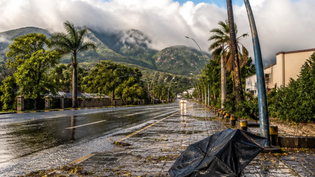
A major winter system moving across South Africa on Tuesday will deliver widespread rain, very cold conditions and strong winds to Mpumalanga, the South African Weather Service (SAWS) has warned. Residents should prepare for disrupted travel, hazardous road conditions and a sharp drop in temperatures.
Where and what to expect
SAWS forecasts a 60% to 80% chance of widespread rain and showers across Mpumalanga. The province will remain cloudy and cold for much of the day, with strong winds expected to worsen the cold and make outdoor conditions uncomfortable and potentially dangerous for exposed communities.
Across the country the system is most severe in the Eastern Cape, where SAWS has issued an Orange Level 6 warning for disruptive snowfall affecting high-lying areas, but the effects are expected to extend into the eastern interior provinces. The Weather Service lists heavy snow over parts of Emalahleni, Sakhisizwe, Senqu, Elundini and Matatiele, and notes that major traffic disruptions and temporary road closures could occur in affected high ground.
| Province | Chance of rain / showers | Notable hazards |
|---|---|---|
| Mpumalanga | 60%–80% widespread rain | Cold, strong winds; travel disruption |
| Eastern Cape | Widespread falls along the coast | Orange Level 6 snow warnings in high areas |
| KwaZulu‑Natal | 60% chance, rising on coast | Damaging winds, rough seas |
| Gauteng | 30% chance of showers | Very cold, scattered rain |
| Free State | 30% (up to 60% in east) | Isolated snow on high ground |
Local impacts and practical advice
For Mpumalanga residents the combination of widespread rain and gusty winds means roads will become slippery and visibility may be reduced. Those travelling to high-lying areas — including tourist routes into escarpment and mountain passes — should expect colder conditions and potential hazards.
Practical steps to reduce risk include:
- Check the condition of your vehicle before travel: tyres, lights and windscreen wipers.
- Avoid non-essential travel on mountain passes during heavy rain or high winds.
- Secure outdoor items and structures that could be damaged or blown away.
- Keep a warm layer and a waterproof jacket in vehicles and on hand for outdoor work.
- Monitor road and traffic updates and heed any temporary road closure notices.
Farmers and rural communities should prepare for cold snaps and heavy falls by protecting livestock and ensuring feed and water sources remain accessible. Tour operators operating in high-lying or escarpment areas are advised to review safety plans and inform visitors about expected conditions.
Coastal and other provincial concerns
Along KwaZulu‑Natal’s coastline SAWS warns of damaging winds and rough seas that could disrupt coastal activities and navigation. Gale‑force winds are also expected along parts of the Western Cape coast later in the day. In Gauteng, residents can expect a cloudy and very cold day with scattered rain.
Light snow or dustings are possible in several high areas outside Mpumalanga; the Eastern Cape is likely to bear the sharpest impact from snowfall, including temporary road closures and isolated communities becoming inaccessible where high ground is affected. The Free State and KwaZulu‑Natal highlands could see lighter snow, particularly close to the Lesotho border.
Where to get updates
SAWS is the primary source for alerts and warnings; local traffic authorities and emergency services will issue road closure notices where necessary. Residents should follow SAWS bulletins, municipal advisories and traffic updates and take precautions where warnings have been issued.
This winter system is expected to affect much of the eastern half of the country through Tuesday. Weather conditions can change rapidly; monitor official channels and plan activities with the forecast in mind.
Stay safe: check SAWS updates, avoid risky travel in high ground and secure belongings ahead of strong gusts.