
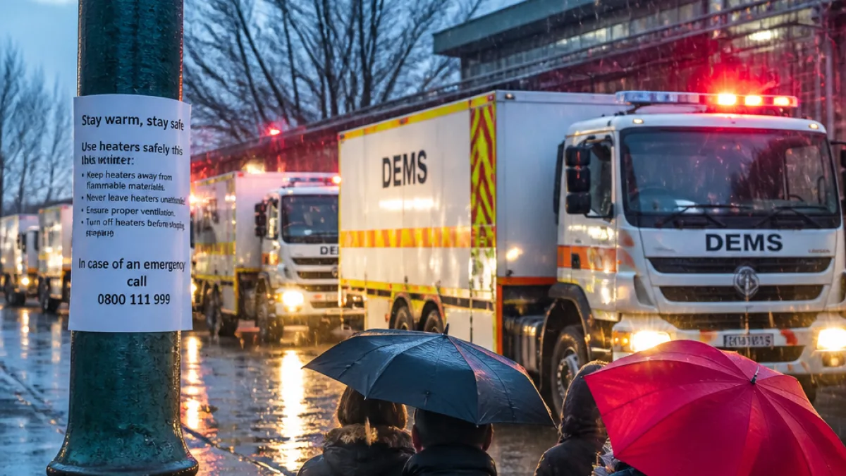
The City of Ekurhuleni has placed its Disaster and Emergency Management Services (DEMS) crews on high alert as a severe cold snap grips Gauteng, with the South African Weather Service issuing warnings for thunderstorms, icy winds and plunging temperatures.
Weather outlook and lows across the province
Meteorological forecasts for Gauteng show cold, cloudy conditions with scattered showers and thundershowers. Light snowfall is possible in the southern parts of the province.
According to local forecasts, the worst of the cold snap is expected on Tuesday, when maximum temperatures are set to reach multi-year lows in some areas. The following minima and maxima were forecast:
| Place | Minimum (°C) | Maximum (°C) |
|---|---|---|
| Johannesburg | 1 | 4 |
| Vereeniging | 0 | 5 |
| Pretoria | 3 | 7 |
City response and safety advice
Ekurhuleni DEMS spokesperson William Ntladi said municipal teams remain ready to respond to incidents related to the storm and cold conditions.
“As temperatures are quite low, many people will be keeping themselves warm by switching on different heaters,” Ntladi said.
Ntladi urged residents to take simple but crucial precautions when using heaters and open flames. Key points from the city's advice include:
- Keep heaters at least one metre away from combustibles such as bed linens, tablecloths and curtains.
- Never leave heaters under the supervision of a minor and switch off all heat sources before going to bed.
- Avoid making open fires outside — strong winds can rapidly turn small flames into large blazes.
- In densely built areas and informal settlements, maintain spaces between structures where possible to limit fire spread.
- Do not discard lit cigarette butts carelessly; dry vegetation can ignite quickly in windy conditions.
Fire risk in informal settlements
Ntladi highlighted the heightened risk in informal settlements, where structures are often close together and a single ignition can spread swiftly. The combination of cold weather and strong wind increases the likelihood that a small ignition will become a neighbourhood blaze.
Residents are advised to prioritise safer heating methods where available, supervise any flame-based heating, and create simple firebreaks where practicable. DEMS said it will prioritise rapid response to reported fires to prevent escalation.
How to contact emergency services
For fires or life-threatening emergencies related to the cold snap and storms, members of the public are urged to contact Ekurhuleni emergency services so that intervention teams can be dispatched promptly. The city provided the following number: 011 458 0911.
While the immediate forecast centres on cold and wet conditions, the presence of thunderstorms means residents should also be alert for localized flooding and road hazards caused by heavy falls. Motorists should reduce speed in wet weather, and pedestrians should take care on slick surfaces.
What residents should do now
With the cold front imminent, practical steps households can take today include:
- Check heaters for damage, ensure cables and plugs are sound, and keep devices away from fabrics.
- Stock basic supplies — warm clothing and bedding — but avoid unsafe heating alternatives indoors.
- Secure loose outdoor items that could be blown about in strong winds.
- Keep a charged phone and a list of emergency numbers, including the Ekurhuleni DEMS line.
Ekurhuleni’s readiness to deploy teams aims to reduce the human and property cost of the cold snap. Residents are being asked to follow safety guidance and report emergencies quickly so responders can act where they are most needed.
Further updates will follow as the weather service refines its warnings and as DEMS monitors incidents across the metro.