
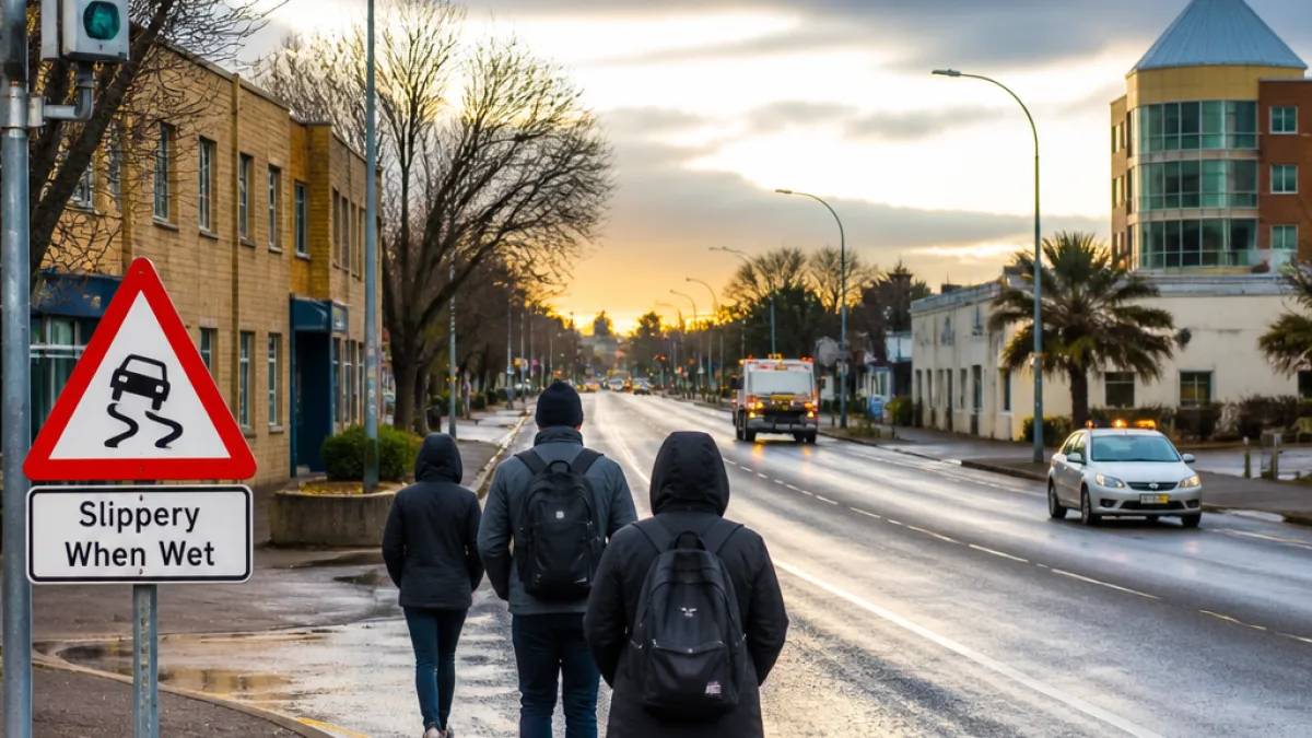
Cold, cloudy conditions expected across the North West on Thursday
The SA Weather Service forecast for Thursday 13 August 2026 warns of cloudy and cool to cold conditions across the North West province. The short-term maps covering the 13 August period show little respite from lower temperatures, particularly for early-morning commuters and outdoor workers.
While the Weather Service's regional warnings for the day highlight more severe hazards in other provinces — including icy roads in parts of the Eastern Cape and a level 2 warning for damaging winds along sections of the West Coast — North West residents should still plan for a cold, grey day with potential impacts for travel and outdoor labour.
Mineworkers, construction crews and other people who work outdoors are advised to take typical cold-weather precautions: dress in warm layers, allow more time for travel and ensure safe warm-up areas during breaks. Local mine shafts and opencast operations often adjust shift start times during cold snaps to reduce risks linked to poor visibility and cold-related health issues.
National context and specific hazards elsewhere
The forecast maps also include several national hazards that could affect interprovincial travel into and out of the North West:
- Icy and slippery roads are expected in parts of the Eastern Cape, particularly within the municipalities of Emalahleni, Sakhisizwe, Senqu, Elundini and Matatiele.
- The SA Weather Service has issued a level 2 warning for damaging winds in northern parts of the West Coast district, the Witzenberg Local Municipality (Western Cape) and the Namakwa District (Northern Cape), which may cause localised damage and reduced visibility due to dust.
- Extremely high fire danger is forecast for several Northern Cape and Western Cape local municipalities, including Nama-Khoi, Hantam, Matzikama and Cederberg.
Those travelling westwards from the North West towards the coast should be aware that strong winds and dust can reduce visibility and delay journeys. Likewise, drivers heading south-east may encounter frozen or slippery surfaces in higher-lying areas of the Eastern Cape.
Practical advice for motorists and communities
Road users should be prepared for chilly starts and limited visibility in low cloud. The following practical measures are recommended:
- Allow extra travel time; drive to conditions and reduce speed on cold, wet or greasy surfaces.
- Ensure vehicle lights and windscreen wipers are working and that tyres are properly inflated and have sufficient tread.
- Keep an emergency kit in your vehicle with warm clothing, a blanket, a charged mobile phone and water.
- Employers should consider shift adjustments or staggered start times for outdoor workers where possible.
Public transport operators and taxi associations are advised to check vehicle readiness before morning runs. Local municipalities that maintain rural roads should monitor conditions and communicate any temporary closures or advisories to residents.
Regional forecast snapshot
| Province / Region | Short description for 13 August |
|---|---|
| North West | Cloudy and cool to cold |
| Gauteng | Cloudy and cool to cold |
| Mpumalanga | Morning fog on the escarpment; isolated showers in the east; cool to cold |
| Limpopo | Morning fog on the escarpment; isolated showers in the east; cool to cold |
| Free State | Cloudy and cold with morning fog in the extreme east |
Nationally, the Western Cape is expected to be fine, cool to warm in the west with partial cloud in the north-east, while the northern parts of the West Coast and Namakwa are under wind and dust warnings. The eastern half of the Eastern Cape will generally be fine but cold in the interior, with fog in places along the southern coast.
Local communities and commuters should monitor updates from the SA Weather Service and heed municipal advisories if conditions worsen.
Residents can check the SA Weather Service for the latest warnings and more detailed local forecasts. Employers with outdoor staff, public-transport operators and road-maintenance authorities are advised to communicate plans and contingency measures early, so that workers and travellers are not caught unprepared by the cold conditions.
For the North West, the immediate expectation is for a chilly, overcast day rather than the more extreme weather affecting other regions. Still, the combination of low temperatures and poor early-morning visibility means everyone should prioritise safety on Thursday morning and into the day.