
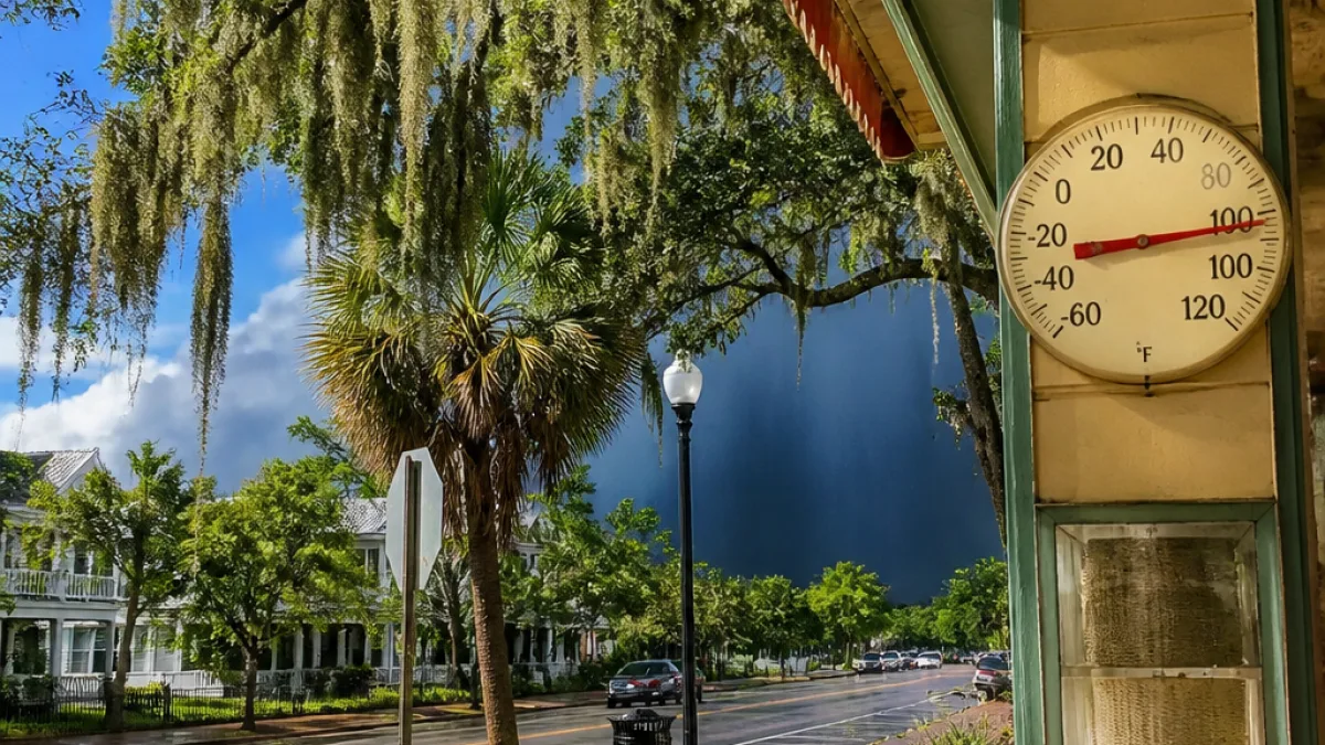
The workweek in Louisiana will open with isolated, hit-and-miss thunderstorms and summerlike temperatures before a shift in the atmosphere brings noticeably drier air later in the week, meteorologists say.
Start of the week: scattered storms, hot afternoons
Monday is expected to feature a handful of spotty thunderstorms across the state while highs rise into the low 90s. Rain coverage early in the week will remain limited, with Tuesday particularly likely to be mostly dry before rain chances increase again Wednesday.
While the showers that do develop will be localized, they could be intense where they occur, producing short bursts of heavy rain and brief gusty winds. Residents should plan for typical summer storm variability—one neighborhood sees rain and another remains dry.
Late-week relief: humidity drops
By Thursday and Friday, a frontal passage is anticipated to usher in drier air across the Gulf Coast and Southeast, relieving the oppressive humidity that has made temperatures feel more punishing than the mercury alone suggests.
The change will temper the muggy feel even though daytime highs are still expected to hover near 90 degrees. Some inland locations could see morning lows dip into the upper 60s as the air mass settles in, offering a more comfortable start to the day.
Weekend outlook: moisture may return
Looking ahead to the weekend, forecasters are monitoring a low-pressure area off the coast that could begin to draw moisture back into Louisiana. That system may nudge up rain chances for Saturday and Sunday, but details about timing and intensity will become clearer as models converge.
- Monday: Spotty thunderstorms possible; highs in the low 90s.
- Tuesday: Limited rain coverage; continued warm conditions.
- Wednesday: Slightly increasing shower and thunderstorm chances ahead of the front.
- Thursday–Friday: Drier air arrives; mornings cooler inland (upper 60s), daytime highs near 90.
- Weekend: Low pressure offshore could return moisture and raise rain chances.
What residents should know and do
With spotty storms possible early in the week, outdoor plans that depend on dry weather should include a backup. Because storms will be scattered, localized flooding is less likely on a widespread scale, but brief heavy downpours can overwhelm drainage in urban and low-lying areas.
The late-week drop in humidity will make outdoor activities more tolerable, but heat safety remains important. Even with lower humidity, prolonged exposure to heat near 90 degrees can pose risks for vulnerable populations. Hydration, frequent breaks, and monitoring children and pets are recommended during warm afternoons.
| Period | Conditions | Temperatures |
|---|---|---|
| Monday | Scattered thunderstorms possible | Highs in the low 90s |
| Tuesday | Limited rain coverage | Near 90 |
| Wednesday | Increasing shower chances | Near 90 |
| Thursday–Friday | Much less humid; drier mornings inland | Highs around 90; mornings upper 60s inland |
| Weekend | Moisture may return from offshore low pressure | Variable; higher rain chances |
Officials and weather services continue to track the offshore low-pressure area scheduled to approach late in the week. If that system intensifies or shifts closer to the coast, it could alter weekend rainfall totals and timing.
Residents are encouraged to check local forecasts throughout the week for updates and any advisories issued by the National Weather Service. Short-term model adjustments are common, and small shifts in storm tracks can change who sees wet weather and who stays dry.
For now, expect a typical late-summer pattern: isolated, quick-hitting storms at the start of the week followed by a welcome break from humidity as drier air filters in. Keep an umbrella handy early in the week and be ready to enjoy slightly cooler, less sticky mornings by Thursday and Friday.














