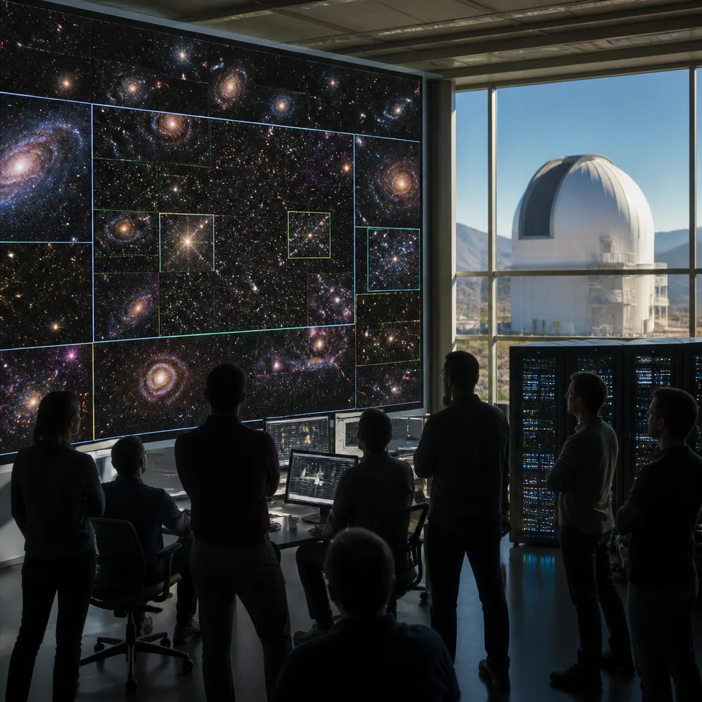
The DESI Legacy Imaging Surveys team on Monday released what it describes as the largest-ever two-dimensional colour map of the sky: a 5.6-trillion-pixel image that contains almost 4 billion celestial objects, from nearby stars to remote galaxies.
Scope, instruments and access
The map combines observations taken with multiple facilities, including images captured by the Department of Energy‑fabricated Dark Energy Camera (DECam) — a 570‑megapixel instrument mounted on the Víctor M. Blanco 4‑metre Telescope at NSF Cerro Tololo Inter‑American Observatory in Chile. The project brings together the output of more than 160 scientists and is being made freely available through the Legacy Survey Sky Viewer for use by astronomers and the public.
The dataset covers roughly 75% of the sky in visible and near‑infrared light, deliberately avoiding regions of heavy obscuration by the Milky Way’s dust and stars to give a deep view of the extragalactic universe. One named object visible in the new map is the spiral galaxy Messier 96, located about 35 million light‑years from Earth.
How the map will be used
The team highlights several immediate scientific uses for the new product. Because the map is both deep and wide, researchers can:
- search for rare phenomena such as gravitational lenses;
- identify and follow up transient events like supernovae;
- combine imaging with other surveys to investigate dark matter and dark energy, two of the most intractable problems in modern cosmology.
The Legacy Surveys have already proved productive: more than 1,800 scientific papers have referenced earlier versions of the data, and the newly updated map is expected to serve as a baseline for research for years to come. The project’s co‑lead, David Schlegel of the Department of Energy’s Lawrence Berkeley National Laboratory, said the resource has become integral to contemporary astronomy.
“It’s part of the fabric of astronomy research now,” said David Schlegel. “When you’re working with astronomical objects today, you often start by pulling up the Legacy Imaging Viewer to see what you’re looking at.”
Data, scale and reproducibility
By offering both the imagery and the viewer publicly, the collaboration aims to encourage use by professional astronomers and citizen scientists alike. The release is intentionally permissive: users may inspect the sky visually, cross‑match with their own observations, and download data products for analysis. The combination of very large area and multi‑band imaging is well suited to both population studies and to finding rare, statistically interesting objects.
| Parameter | Value |
|---|---|
| Total pixels | 5.6 trillion |
| Catalogued objects | ~4 billion |
| Sky coverage | ~75% |
| Key camera | DECam (570 MP) |
| Contributing scientists | >160 |
Context and consequences
The map arrives at a time when wide, deep imaging surveys are central to both observational cosmology and transient astronomy. Large imaging catalogues feed target selection for spectroscopic campaigns, enable searches for gravitational lenses that act as natural telescopes, and supply the discovery pipeline for rapidly evolving events that require immediate follow‑up. For questions about dark matter and dark energy, the statistical power of nearly 4 billion objects across most of the sky strengthens cosmological probes that rely on the distribution and shapes of galaxies.
Crucially, the resource is expected to be complementary to ongoing and forthcoming surveys. Its combination of area and depth fills a niche between very deep, narrow fields and all‑sky, shallower catalogues, offering a reference layer against which new observations can be compared. Given the pace at which astronomy now depends on archival and cross‑matched datasets, the Legacy Imaging Surveys map is likely to be cited and reused extensively.
By opening the data to the public, the collaboration also invites non‑professional participation. Citizen scientists can comb the map for unusual objects, while small observatories can use it to plan observations or confirm transient detections. In that way the map is not only a scientific deliverable but a platform to broaden engagement with astronomy.
For researchers seeking to query the imagery or download data products the Legacy Survey Sky Viewer provides immediate access; the collaboration’s announcement notes the map should remain one of the most comprehensive two‑dimensional views of the extragalactic sky for the foreseeable future.