
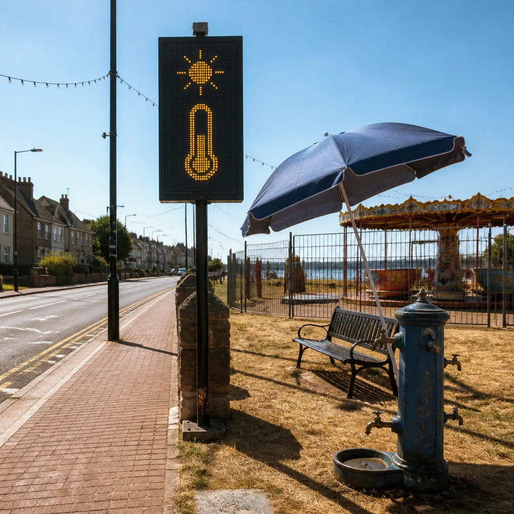
An amber Met Office warning for extreme heat has been issued as high pressure locks in a prolonged spell of dry, settled weather across the UK, with temperatures building day by day and the highest values expected on Thursday. Within the warning area temperatures could reach around 37–38°C, making it one of the hottest days of the year.
What to expect this week
The settled pattern is being maintained by a dominant ridge of high pressure, bringing lengthy sunny spells and largely rain‑free conditions for much of England and Wales. Temperatures are forecast to rise through the week:
- Tuesday: widespread sunshine following early cloud in parts of Scotland; high twenties widely in southern England, with 30°C possible in parts of the Midlands and east Wales.
- Wednesday: the heat spreads further north and intensifies; many central and southern counties should see temperatures above 30°C, with low 30s common.
- Thursday (warning day): the peak of the spell for the warning area, with the Met Office highlighting a window from 09:00 until 23:59 when the most extreme temperatures are possible.
Where the amber warning applies and how confident forecasters are
The amber warning specifically covers parts of the Midlands and eastern and south‑eastern England for the Thursday period. While the broad picture — steadily rising temperatures and extensive sunshine — is robust, the exact location of the very highest readings has some uncertainty. Small shifts in the position of the warmest air can move the 37–38°C band several tens of kilometres north or south.
| Day | Typical temperatures (England & Wales) |
|---|---|
| Tuesday | High 20s to around 30°C in places |
| Wednesday | Low 30s across many central and southern counties |
| Thursday | Widespread low–mid 30s; 37–38°C possible in parts of the amber warning area |
Health, travel and infrastructure impacts
The amber warning signals a likelihood of significant disruption and increased health risk. The UK Health Security Agency’s heat health alerts remain in force for much of England, reflecting concerns about elevated risk to vulnerable groups, and the wider population experiencing heat‑related effects such as heat exhaustion.
Forecasters and health agencies warn of multiple possible impacts:
- Increased risk to those vulnerable to heat — the elderly, people with chronic health conditions and infants.
- Pressure on healthcare services with more heat‑related illness presentations.
- Potential problems for heat‑sensitive infrastructure and equipment, with isolated power interruptions possible.
- Disruption to transport, particularly rail services where very high rail temperatures can affect track and signalling.
- More people seeking open water to cool off, increasing the risk of water‑safety incidents.
Practical advice — what to do now
As the heat builds, take straightforward precautions to reduce risk and stay comfortable. Key actions to consider:
- Keep hydrated — drink regularly, especially if you are active or outdoors.
- Seek cool, shaded or air‑conditioned environments during the hottest part of the day.
- Avoid strenuous activity in mid‑afternoon; plan outdoor tasks for morning or evening.
- Check on vulnerable friends, relatives and neighbours and ensure they have what they need.
- Be cautious near open water and follow local safety guidance; never swim alone in unsupervised locations.
Simple steps at home can also help: close curtains during the day to keep rooms cooler, and cool yourself with damp cloths or showers rather than trying to sleep in a very hot room. Nights may be uncomfortable for many, so managing bedroom ventilation in the evenings and evenings and mornings will help.
Outlook beyond the peak
High pressure is expected to hold for several days, keeping largely dry conditions in place. While some cloud and isolated showers may affect Scotland and Northern Ireland, England and Wales are likely to remain dry and hot through the warning period. The precise timing of the easing of the heat will depend on changes in the broader pressure pattern; forecasters will update warnings if confidence in the peak location or timing changes.
Keep an eye on Met Office updates and public health advice over the coming days, and follow local travel information if you are planning journeys during the warning period.









