
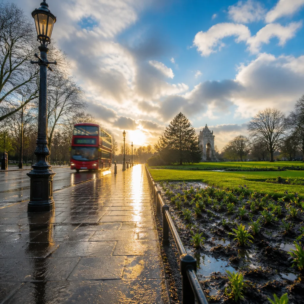
London experienced its first substantial rainfall in weeks in the early hours of Tuesday, with showers moving across large parts of the capital and short intense bursts locally measured at up to 32mm per hour. The downpours followed a July that was the driest on record for England and brought welcome, if limited, respite to drought-stressed green spaces and gardens.
What happened overnight
Met Office rain-tracking data showed showers beginning to sweep into the capital from around 03:00 GMT, leaving streets and pavements puddled in places by dawn. Social media users in London posted images and messages welcoming the rain after long spells without significant precipitation in many neighbourhoods.
"It is a moment of urgency," said Darren Share, director of parks at Royal Parks, earlier in the month when warning about the effects of the exceptionally dry weather, describing some landscapes as "scorched".
How much fell and where
While the showers were locally intense, coverage and amounts varied across the city. Parts of the capital recorded short bursts of heavy rain, but extensive long-duration rainfall was not widespread. The wider national picture remains uneven: the Thames catchment recorded just 0.8mm for July, equivalent to roughly 2% of the long-term average for that period — underlining how limited the short-term replenishment is in the catchment despite overnight falls.
| Measure | Value |
|---|---|
| Peak hourly rainfall reported in parts of London | 32mm |
| Rain recorded across the Thames catchment in July | 0.8mm (about 2% of long-term average) |
Forecast and practical implications
Forecasters are advising that more showers are expected in and around the capital through the week. Short, scattered bursts of rain are probable during the morning rush at times, with forecasters indicating the chance of additional light showers on Wednesday, Thursday and Friday. Confidence is moderate for further isolated showers; however, their uneven distribution means some boroughs will see little more moisture.
It is important to be realistic about immediate benefits. A few millimetres in a short storm will quickly moisten the surface and provide temporary relief for lawns and bedding plants, but it is unlikely to resolve underlying deficits in soil moisture or significantly refill rivers and reservoirs that have been depleted by the prolonged dry spell.
- For households: expect damp roads and brief travel disruption during rush hours in areas hit by showers; keep an umbrella handy.
- For gardeners and parks managers: short downpours help surface growth but sustained watering strategies may still be required to recover deeper soil moisture.
- For emergency planners: short intense bursts can still produce localised surface water issues; remain alert to rapid runoff in urban areas.
Wider UK risks
Meteorological services highlight that, while London saw welcome falls, other parts of the UK will see differing conditions. Forecasters have drawn attention to the risk of hail, lightning and the potential for flash flooding in some areas where showers develop strongly. The heaviest showers through the week are more likely to affect parts of north‑west England, Northern Ireland and southern Scotland, even as parts of south‑east England remain relatively dry.
Park and garden professionals have been clear about the seriousness of the dry spell. The exceptionally low July totals and successive heatwaves prompted warnings about damaged planting and stressed trees, with calls for concerted action to manage green infrastructure and protect vulnerable plants.
In short, the overnight rain is a positive sign but not a cure. It reduces immediate fire risk in parks and eases surface dryness, yet deeper recovery for soils, rivers and reservoirs will rely on more sustained and widespread rainfall patterns than those currently forecast. Forecasters will continue to monitor shower activity and update guidance for travel and flood risk as conditions evolve.









