Sikkim has identified 40 high‑hazard glacial lakes, of which 16 are classified in the highest risk band for sudden outbursts that could endanger downstream communities and infrastructure, officials said on Thursday.
Monitoring and classification
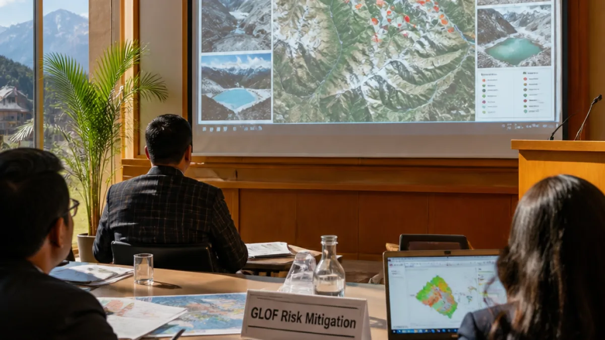
At a media sensitisation workshop on Glacial Lake Outburst Flood (GLOF) risk mitigation, Principal Secretary Sandeep Tambe outlined the use of remote sensing and satellite imagery to monitor changes in the State's glacial lakes. The State's Department of Science and Technology has been designated the nodal agency for hazard assessment and mitigation studies, he said.
"Remote sensing and satellite imagery are being used to monitor changes in glacial lakes," the Principal Secretary said.
The classification presented at the workshop divides the 40 high‑hazard lakes into risk categories. Officials listed:
- Category A (highest risk): 16 lakes
- Category B (high risk): 2 lakes
- Category C (moderate to low risk): 9 lakes
- Unclassified: 13 lakes
| Risk Category | Number of Lakes |
|---|---|
| Category A (highest) | 16 |
| Category B (high) | 2 |
| Category C (moderate to low) | 9 |
| Unclassified | 13 |
Context and recent events
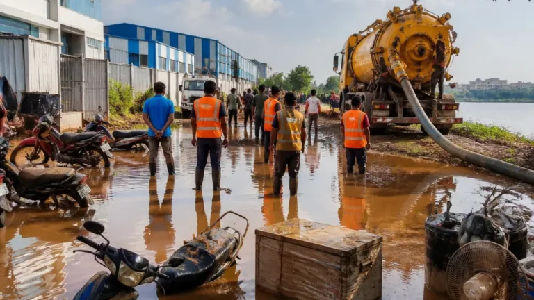
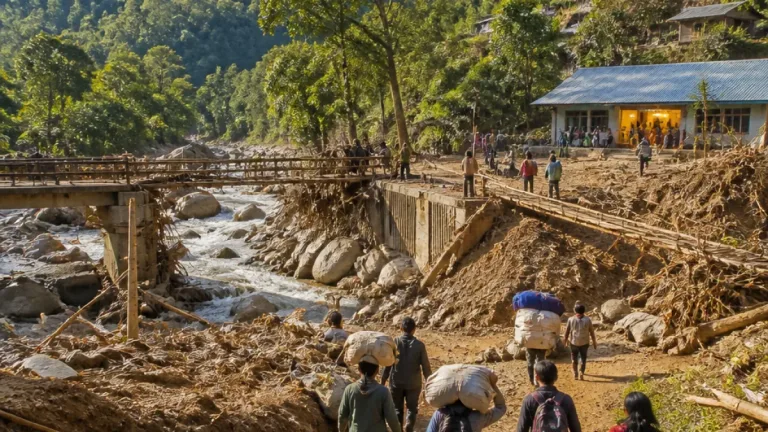
The announcement comes in the wake of a devastating flash flood in Nepal on August 26, triggered by a glacial collapse near the Nepal‑Tibet border, which left hundreds dead and many missing. While that catastrophe was not attributed to a GLOF, it has drawn renewed attention across the Himalaya to the growing threats as glaciers retreat and new or expanding lakes form.
Sikkim itself experienced a deadly GLOF in October 2023, which resulted in at least 60 fatalities and caused substantial damage across the Mangan, Gangtok, Pakyong and Namchi districts. The outburst also destroyed the Chungthang dam, a component of a major hydropower project, government records show.
Communication and public awareness
Yougan Tamang, press secretary to Chief Minister Prem Singh Tamang, emphasised the role of media in communicating verified, science‑based information about GLOF risks and mitigation measures. He said the media sensitisation workshop was intended to bolster public understanding and avoid misinformation.
Officials at the workshop outlined several strands of ongoing work: regular satellite monitoring, field validation of imagery, hazard mapping, and community‑level awareness and early warning preparedness. No new cost or timeline figures were released at the event.
Implications for communities and infrastructure
Glacial lakes form where melting ice accumulates in depressions near or on glacier surfaces. They can burst when moraine dams fail, when excessive water accumulates, or when triggers such as earthquakes, avalanches or intense rainfall destabilise the lake margins. Outbursts can produce sudden floods that travel rapidly downstream, threatening settlements, roads, bridges and hydroelectric works.
State authorities have previously highlighted the vulnerability of key river valleys and hydropower assets to GLOF events. The current inventory and risk categorisation are intended to prioritise mitigation interventions, including monitoring, structural measures where feasible, and community preparedness in high‑risk catchments.
Next steps
Officials said further technical assessments will be required to move from hazard identification to concrete mitigation plans. These include more detailed field surveys, bathymetric studies of select lakes, and modelling of potential outburst flood paths and inundation extents. Coordination with central agencies and neighbouring Himalayan jurisdictions will also be necessary, they added.
The workshop stressed that obtaining reliable, timely data and improving public communication are critical to reducing loss of life and property from future GLOFs.