Flooding in Dimapur linked to altered rivers and inadequate drainage
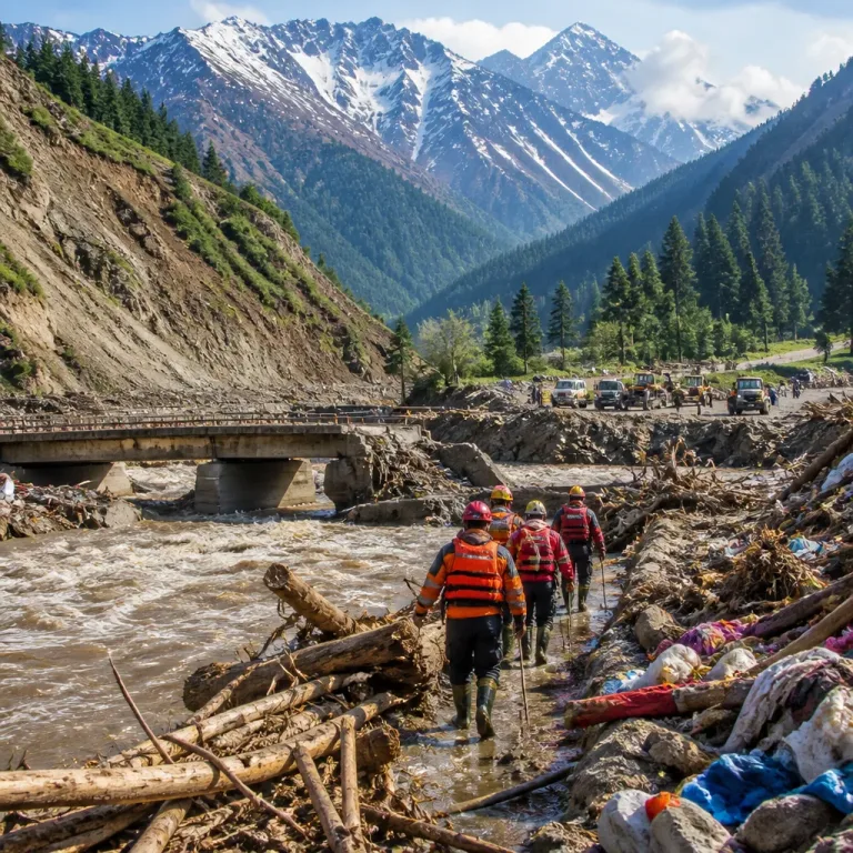
Dimapur, August 11: Recurring floods and persistent waterlogging in parts of Dimapur and neighbouring Chümoukedima are being attributed by residents and field assessments to what has been described as a largely man-made crisis centred on the Chathe and Dhansiri rivers.
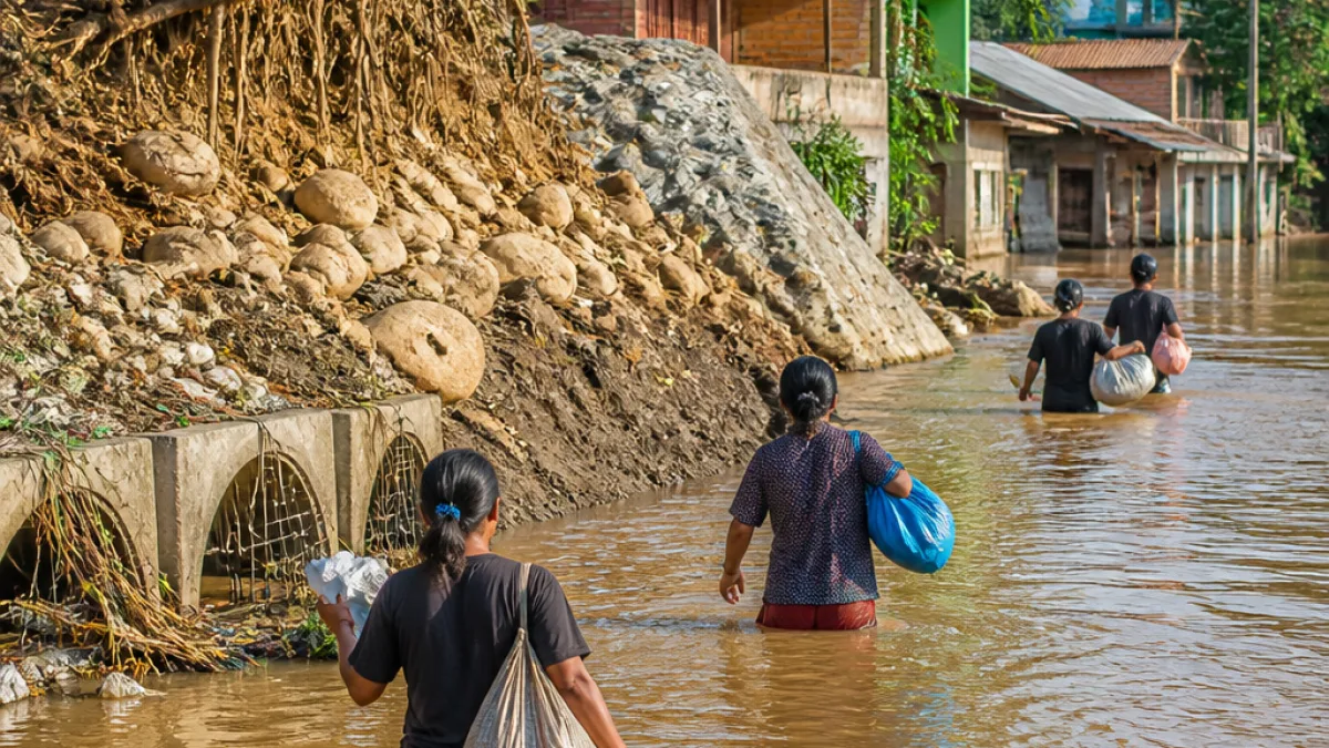
The two rivers, which pass through the districts, are reported to be experiencing ongoing bank erosion that has eaten into agricultural land and habitation areas. Within urban localities, the situation is compounded by an absence of an effective drainage network capable of carrying rainwater to river channels, leaving streets and homes inundated even after moderate rainfall.
- Altered river courses: Unregulated extraction of sand and boulders is alleged to have changed river geometry, increasing flow velocity in vulnerable stretches and accelerating bank erosion.
- Constricted channels: River channels and tributaries have been narrowed by debris and alleged encroachments, limiting natural flow and raising flash-flood risk downstream.
- Blocked urban drains: Natural nallahs and drainage channels within towns are reportedly encroached upon by buildings and structures, reducing outlets for rainwater.
- Planning gaps: Flood-control and drainage works, according to assessments, are often implemented in isolation without adequate hydrological surveys or system-wide mapping.
Residents and field assessments describe the recurring floods as a "largely man-made crisis".
Local reports say piecemeal drainage and flood-control projects have at times been undertaken without sufficient surveys or hydrological assessment, resulting in repeated damage at the same locations during successive monsoons. Construction in areas that rivers naturally reclaim during high flows has further intensified the problem by allowing floodwater to enter town drains and nallahs, overwhelming or reversing normal drainage and inundating nearby localities.
Efforts to desilt or widen drains are frequently stalled, the assessments indicate, by resistance and a lack of coordination among stakeholders. The combined effect of these failures is fewer outlets for rainwater and greater likelihood of neighbourhood flooding even after moderate rain.
| Issue | Reported consequence |
|---|---|
| Unregulated sand and boulder extraction | Altered river course; increased flow velocity and bank erosion |
| Encroachment of channels and nallahs | Restricted flow; backwater and flash floods downstream |
| Piecemeal drainage works without hydrological mapping | Repeated failure of interventions; recurring inundation |
Field assessments highlighted that river channels and tributaries narrowed by debris and encroachments no longer carry peak flows effectively, increasing pressure on downstream settlements. When natural drainage routes are obstructed by development, rainwater has fewer places to go and often accumulates in low-lying neighbourhoods.
The accounts emphasise that the flood risk in Dimapur and Chümoukedima is not solely a function of rainfall intensity but results from multiple, interacting systemic failures. Addressing the problem, the assessments suggest, would require coordinated planning across river basins and urban systems, rigorous hydrological surveys before interventions, stricter control of in‑river extraction, and removal or regulation of encroachments on natural drainage channels.
For residents of Dimapur, the recurring inundation means damage to homes and agricultural land, disruption to daily life and repeated, costly repairs to infrastructure. The reports imply that absent an integrated response, households and towns are likely to experience the same cycle of flooding in future monsoons.