Guwahati: The flood situation in Assam remained severe on Monday with the official toll rising to 101 and 1,26,431 people still affected across seven districts, an Assam State Disaster Management Authority (ASDMA) bulletin said.
Latest official figures and districts hit
The ASDMA bulletin reported that one death since Sunday night was recorded in the Amguri revenue circle of Sivasagar district, taking the tally for this year’s floods to 101. The affected population of 1,26,431 is spread across Charaideo, Darrang, Golaghat, Jorhat, Karbi Anglong, Nagaon and Sivasagar districts.
Among these, Golaghat is the worst-affected district with more than 71,000 people impacted, followed by Sivasagar with over 21,000 and Jorhat with more than 13,000 people living under the stress of floodwaters.
Relief operations and areas under water
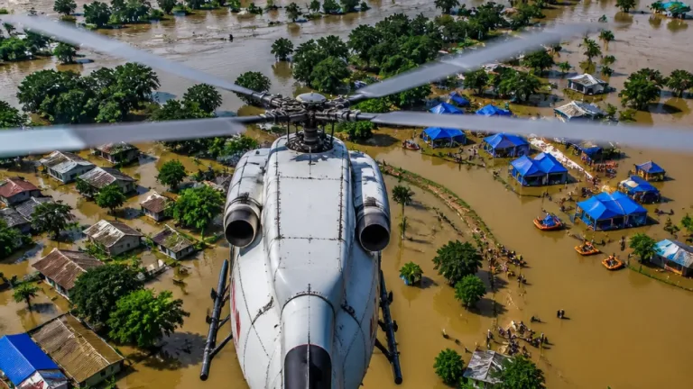
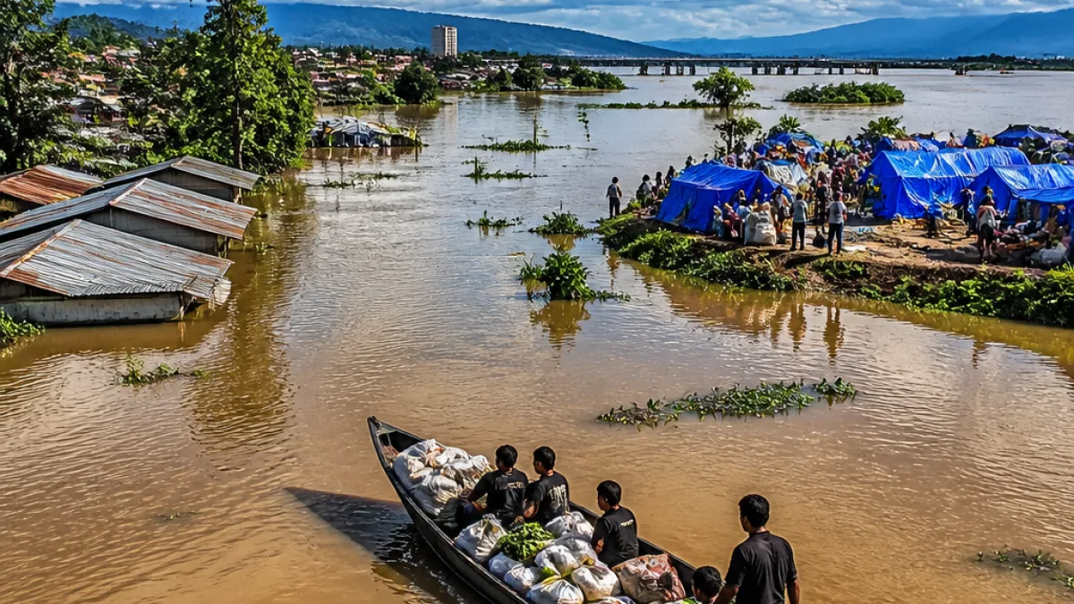
According to the ASDMA, the administration is currently running 89 relief camps and relief distribution centres in six districts, providing shelter and assistance to about 24,000 people. In all, 458 villages remain submerged across the state.
- Relief centres active: 89 (in six districts)
- People sheltered in camps: ~24,000
- Villages under water: 458
- Crop area damaged: 11,287.04 hectares
Infrastructure and river levels
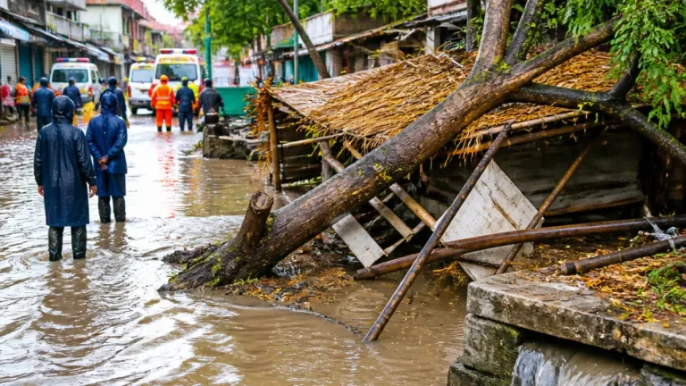
Floodwaters have damaged embankments, roads, bridges and other infrastructure in several districts, the bulletin said. The ASDMA also reported that specific river points are flowing above danger level: Dhansiri at Golaghat and Numaligarh, and Kushiyara at Sribhumi.
| District | People affected (approx.) |
|---|---|
| Golaghat | More than 71,000 |
| Sivasagar | Over 21,000 |
| Jorhat | Over 13,000 |
| Charaideo, Darrang, Karbi Anglong, Nagaon | Included in total 1,26,431 |
Impact on agriculture and local economies
The ASDMA reported damage to 11,287.04 hectares of crop areas across the state. Loss of standing crops at this stage of the monsoon can have cascading effects on rural incomes and market supplies, especially in districts where agriculture is a primary livelihood.
Infrastructure damage to roads and bridges complicates the movement of relief supplies and access for emergency teams, while embankment breaches have historically exacerbated inundation in low-lying areas of the Brahmaputra and Barak basins.
Context: monsoon floods and Assam's vulnerability
Seasonal floods are a recurrent hazard in Assam, driven by heavy monsoon rains, overflow from major rivers and tributaries, and localised breaches of embankments. Low-lying plains and riparian communities often bear the brunt, with rice paddies and smallholder farms affected early in the inundation cycle.
Authorities typically deploy district administration units, state disaster response forces and local volunteers to operate relief camps, distribute food and provide basic medical aid. The ASDMA bulletin provides the operational snapshot that helps coordinate such response efforts.
What authorities report next
The ASDMA updates are provisional and aimed at guiding relief operations; further bulletins may revise numbers as rescue and assessment teams reach inaccessible hamlets. Monitoring of the named river gauges—Dhansiri and Kushiyara—will be crucial in the next 48–72 hours for anticipating further rises.
Residents in affected districts are being advised to follow instructions issued by local administration and disaster management authorities and to seek shelter at designated relief centres if their homes are unsafe.
Detailed damage assessments, specific lists of hamlets in critical condition and any additional administrative measures will be available in subsequent ASDMA releases and district-level communiqués.
Reporting from the state capital synthesising the official ASDMA bulletin and district data.