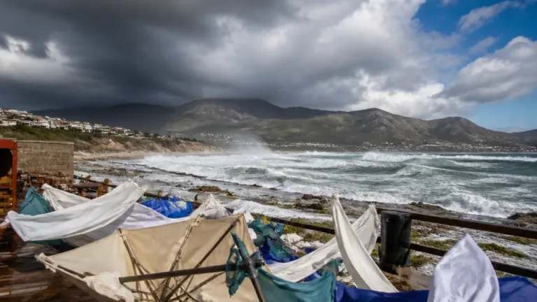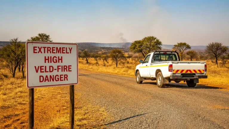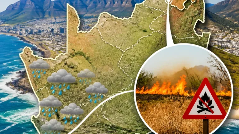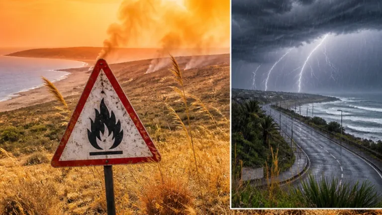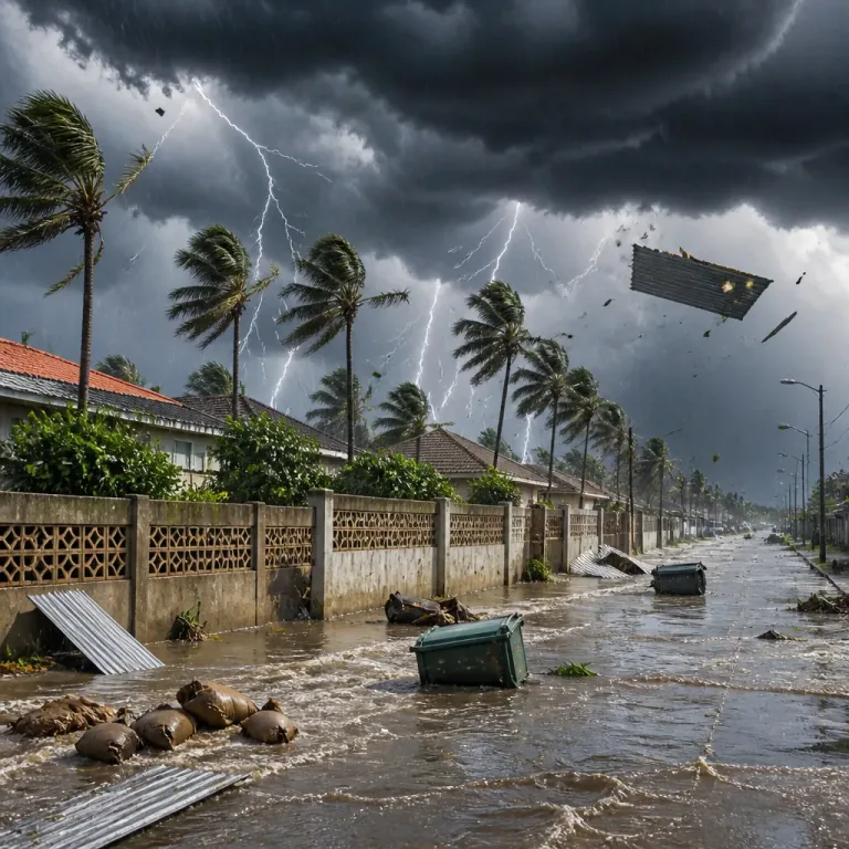
What you need to know now: the South African Weather Service (SAWS) has warned that a cut-off low system moving over western parts of the country from Friday, 25 September, will bring severe thunderstorms to parts of the Western Cape and Northern Cape and create dangerous fire-weather conditions in the north-eastern Northern Cape.
Where the severe weather is expected
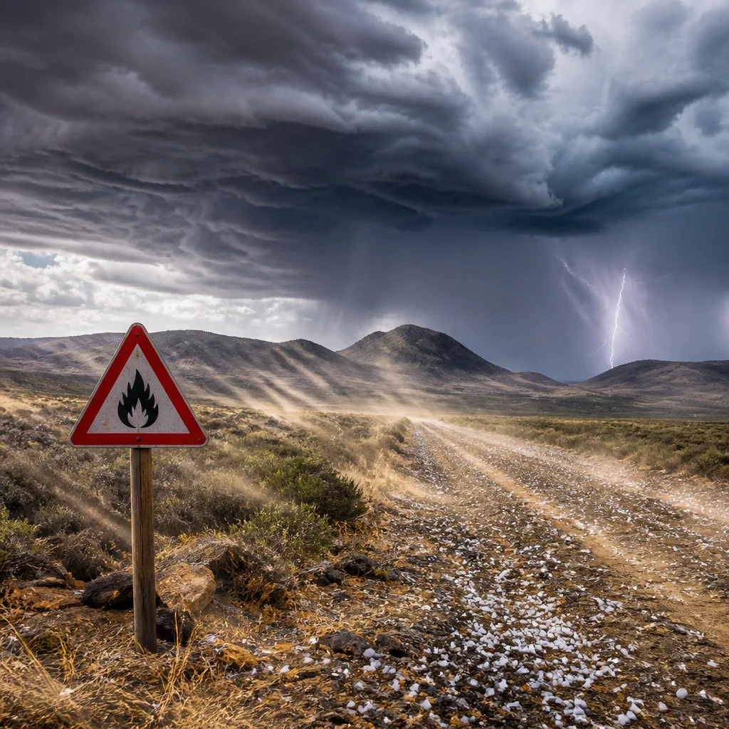
SAWS cautioned that the most significant thunderstorm activity is likely over the higher terrain of the Namakwa district in the Northern Cape and the Central Karoo area of the Western Cape. These storms may produce:
- Large amounts of lightning — increasing risk to people outdoors and to electrical infrastructure.
- Significant hail — which can damage crops, vehicles and roofs.
- Strong, gusty winds — capable of downing trees and disrupting travel.
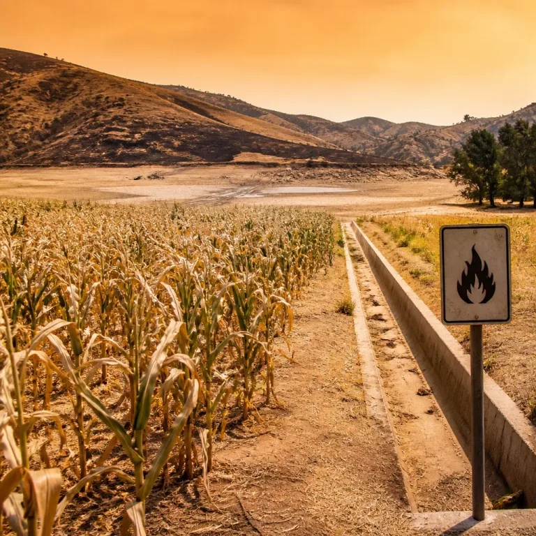
In addition, SAWS highlighted extremely high fire danger for parts of the north-eastern Northern Cape, where dry, windy conditions may allow fires to start and spread rapidly.
Provincial outlook for Friday, 25 September
SAWS provided a province-by-province synopsis of expected conditions. Key points include:
- Gauteng: Partly cloudy and warm. High UVB sunburn index reported as very high.
- Mpumalanga: Morning fog along the escarpment, then partly cloudy with isolated afternoon showers and thundershowers.
- Limpopo: Cloudy in the east at first, then warm and partly cloudy with isolated afternoon showers and thundershowers in the east and south-west.
- North West: Fine and warm, trending partly cloudy with isolated showers and thundershowers in the east.
- Free State: Fine and warm, becoming partly cloudy in the afternoon.
- Northern Cape: Partly cloudy and warm to hot. Isolated to scattered showers and thundershowers in the south-eastern and central parts; widespread in western areas and on the southern high ground.
- Western Cape: Showers and thundershowers spreading widely in the afternoon, especially the Little and Central Karoo; generally cloudy and warm with scattered storms elsewhere.
| Hazard | Main areas | Impacts |
|---|---|---|
| Severe thunderstorms | Namakwa (NC), Central Karoo (WC) | Hail, lightning, gusty winds |
| Extremely high fire danger | North‑eastern Northern Cape | Rapid fire spread, increased ignition risk |
Practical safety advice
SAWS’ meteorological briefing indicates multiple hazards that can affect people and property. To reduce risk, take these precautions:
- Avoid open areas and high ground during thunderstorms; seek shelter in a substantial building or a hard‑top vehicle.
- Unplug sensitive electrical equipment where practical and avoid using wired appliances during lightning storms.
- Secure loose objects outdoors and be prepared for sudden gusts that can affect driving — high-sided vehicles are particularly vulnerable.
- In areas with very high fire danger, do not light open fires, and follow local authority restrictions on burning and fireworks.
- Stay tuned to local radio, SAWS updates and municipal advisories for any changes, watch for road closures and heed instructions from emergency services.
People working outdoors, farmers, and those living near informal settlements and wildland‑urban interfaces should take special care. Hail and strong winds may damage crops, infrastructure and shelter.
How this may evolve
The cut-off low is expected to influence western regions through the weekend. While the most intense storms are forecast for Friday, SAWS’ synoptic picture suggests unsettled conditions could persist, with further shower and thunder activity across parts of the Western Cape and southern interior.
Stay informed: check updated SAWS warnings for your area, monitor municipal emergency notices and prepare for fast-changing conditions. If you live in or travel through affected districts, plan for delays and take steps to protect life and property.