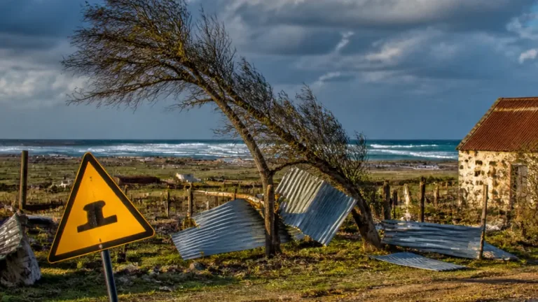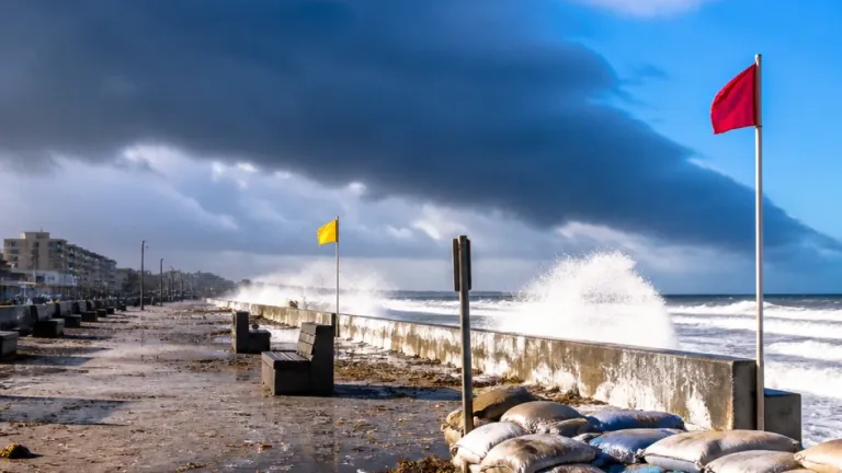
Act now: secure loose items, avoid low-lying coastal areas during rough seas and postpone non-essential travel where strong winds or heavy showers are expected. A cut-off low developing west of the country is set to bring wet, windy and cooler conditions to parts of the Western and Northern Cape from Sunday into Monday (13–14/09/2026), with impacts felt along the south-western coast and into neighbouring provinces.
What to expect today
Spring continues to show a wide mix of weather across the country. Interior areas will warm up under sunshine while coastal provinces will be wetter. Gauteng, Limpopo and Mpumalanga are mostly clear; the Free State, Northern Cape and North West will be cloudier; and the Western and Eastern Cape will see rain. Major cities sharing rainfall include Cape Town, Gqeberha and Durban. Kimberley is the warmest noted location at 30°C, while Bloemfontein had the coldest start at 9°C.
Warnings and advisories
South African Weather Service (SAWS) advisories and a Level 2 warning are in place for parts of the Western and Northern Cape and inland north-western areas. The source lists specific localities and hazards:
- Areas mentioned under advisories: Grabouw, Garies, Pofadder and Springbok.
- Yellow (Level 2) warning: damaging winds expected in north-eastern parts of the Northern Cape and western parts of the North West, with potential for localised damage to formal and informal dwellings and temporary structures.
- Intermittent showers and thundershowers with heavy downpours at times; possible small hail and lightning.
- Significant temperature drops over high-lying areas, windy coastal and interior conditions, and very rough seas south of Table Bay with waves reaching 4.0–4.5 m.
Safety advice
Practical steps to reduce risk during the next 24–48 hours:
- Secure loose items around homes and yards to prevent wind damage.
- Avoid parking under trees or near unstable structures during strong gusts.
- Small-stock farmers should move animals to sheltered areas where possible.
- Refrain from entering the sea where surf is high; coastal routes and piers may be hazardous.
- Plan for sudden heavy showers when travelling and take care on wet, slippery roads.
Short-term outlook by example locations
The national summary highlights conditions for several centres. Below is a condensed view of the day’s notable observations and the near-term trend as provided in the source.
| Location | Today (High/Low) | Note |
|---|---|---|
| Kimberley | 30°C | Warmest reported centre |
| Bloemfontein | 9°C (start of day) | Coldest start reported |
| Johannesburg (Gauteng) | 26°C / 11°C | Mostly clear today; showers and thundershowers possible into the week |
The seven-day outline for Gauteng in the source shows a pattern of mainly clear conditions today followed by periods of showers and thundershowers on several days next week, and a brief return to clearer skies mid-week. This illustrates that while the immediate threat is concentrated in the south-west, unstable weather will affect other provinces intermittently.
Who will be most affected
Communities along the Western and Northern Cape coast and adjacent interior areas should prepare for wet and windy conditions, with small-scale farmers and residents in informal settlements particularly vulnerable to strong gusts. Maritime activities and coastal recreation will be affected by very rough seas south of Table Bay.
Monitor updates from the South African Weather Service for any changes to warnings and for detailed local forecasts. If you are in or travelling to the affected areas, check road conditions and allow extra time for journeys. Follow municipal and emergency-service instructions should any local evacuations or road closures be announced.
Stay informed and take simple precautions — tying down loose items, avoiding dangerous coastlines and preparing for sudden heavy showers can reduce harm and disruption.