The South African Weather Service (SAWS) has issued impact-based warnings as a cut-off low pressure system develops off the west coast and begins to influence weather across the country. The system is expected to bring cooler conditions, intermittent showers and strong winds to parts of the Western and Northern Cape and to produce gusty winds that will affect the western areas of the North West province.
Warnings affecting the North West and surrounding areas
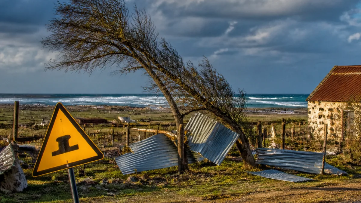
SAWS has placed parts of the country under two notable warnings that are relevant to communities in and around the North West. A Yellow Level 2 Warning for damaging winds is expected to affect the north-eastern Northern Cape and the western parts of the North West. The agency says such winds can cause localised damage to formal and informal settlements and to temporary structures.
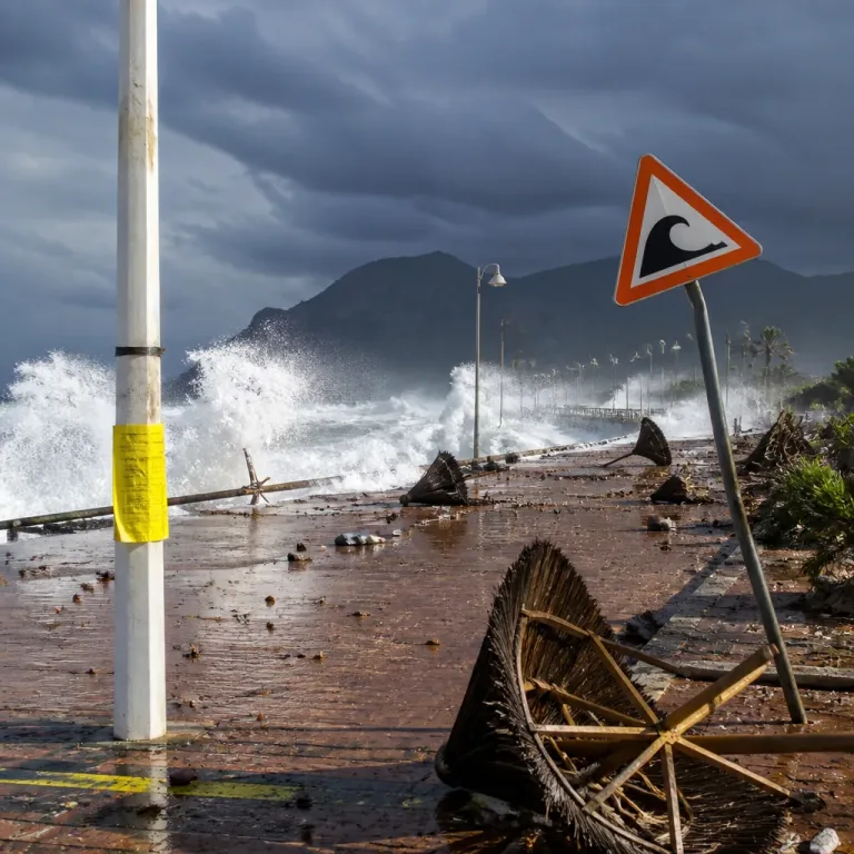
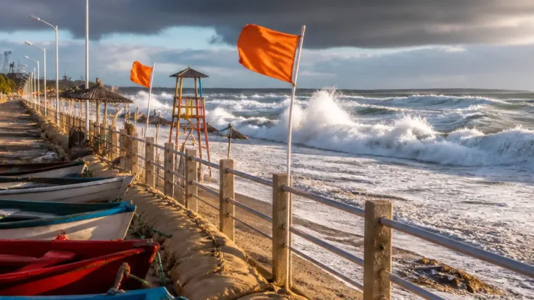
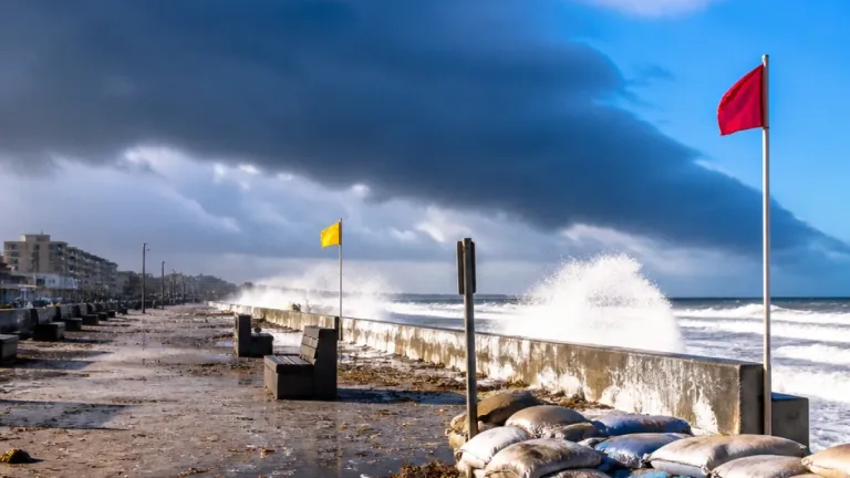
Coastal regions between Table Bay and Cape Agulhas are under a Yellow Level 1 Warning for winds and waves, which will make navigation difficult for small vessels and present a risk of capsizing.
What the cut-off low will bring
SAWS forecasts that the developing cut-off low will bring:
- intermittent showers and thundershowers, at times with heavy downpours;
- possible small hail and lightning in affected areas;
- a significant drop in temperatures over high-lying terrain;
- gusty inland winds and very rough seas off the south-west coast, with wave heights reaching 4.0 to 4.5 m south of Table Bay.
Authorities have specifically warned that temporary and poorly secured structures in both formal and informal settlements are most at risk from strong gusts. Small stock and other vulnerable livestock should be monitored as a precaution where grazing areas are exposed to high winds and heavy rain.
Provincial outlook
Across the provinces SAWS expects a mix of fine and warm spells, with cloud building in the afternoons and scattered showers or storms in some areas. The forecast summary for the nine provinces includes:
| Province | Short outlook |
|---|---|
| Gauteng | Fine and warm; UVB index: High |
| Mpumalanga | Morning fog patches eastern parts; otherwise fine and warm |
| Limpopo | Morning fog patches south-east; otherwise fine and warm |
| North West | Fine and warm, becoming partly cloudy in the afternoon; western parts under gusty wind warning |
| Free State | Fine and warm, becoming partly cloudy with isolated showers and thundershowers south-west |
| Northern Cape | Partly cloudy, warm to hot; isolated showers and storms central and western parts |
Who should take extra care
SAWS cautions the public, particularly residents of vulnerable settlements and small-stock farmers, to prepare for strong winds and sudden heavy showers. The combination of gusty winds and sudden downpours increases the risk of localised flooding, damage to unsecured structures and disruption to outdoor activities.
Practical steps households and small-scale farmers can take include:
- securing loose roofing, fencing and temporary shelters;
- moving livestock to sheltered grazing or securing feed and water supplies;
- avoiding travel in known flood-prone areas during heavy rains and heeding road closure signs;
- keeping updated with SAWS alerts and local municipal advisories.
Sea-users between Table Bay and Cape Agulhas should be especially cautious: small vessels face a higher risk of capsizing under the forecast conditions and should avoid going to sea if possible.
SAWS notes the cut-off low will mainly affect the Western and Northern Cape from Sunday into Monday (13–14/09/2026), but its influence extends to adjacent provinces through gusty winds and unstable afternoon weather. Residents are advised to monitor updates and to follow directions from municipal disaster-management centres.
Local emergency services and municipal officials typically coordinate responses during such weather events; communities should keep contact details for their local ward councillor or municipal disaster management centre at hand and report damage promptly so assistance can be prioritised where needed.