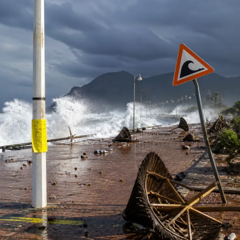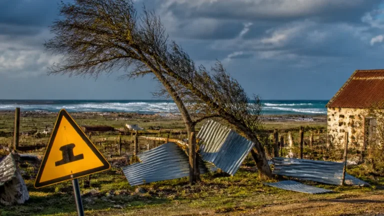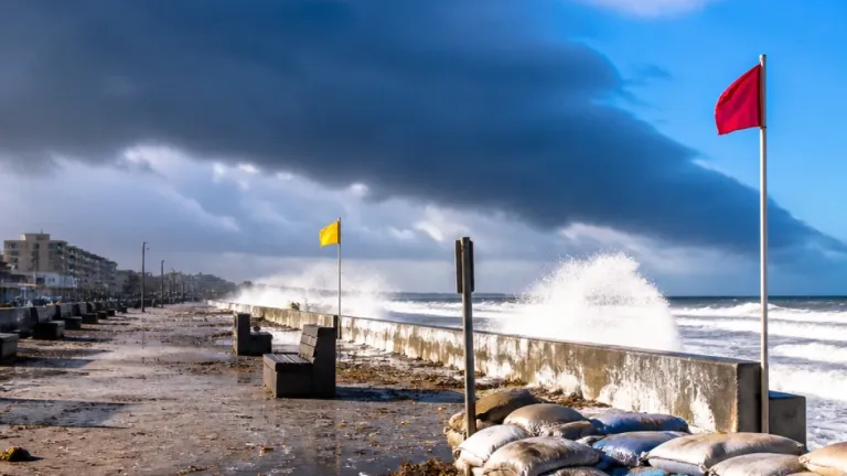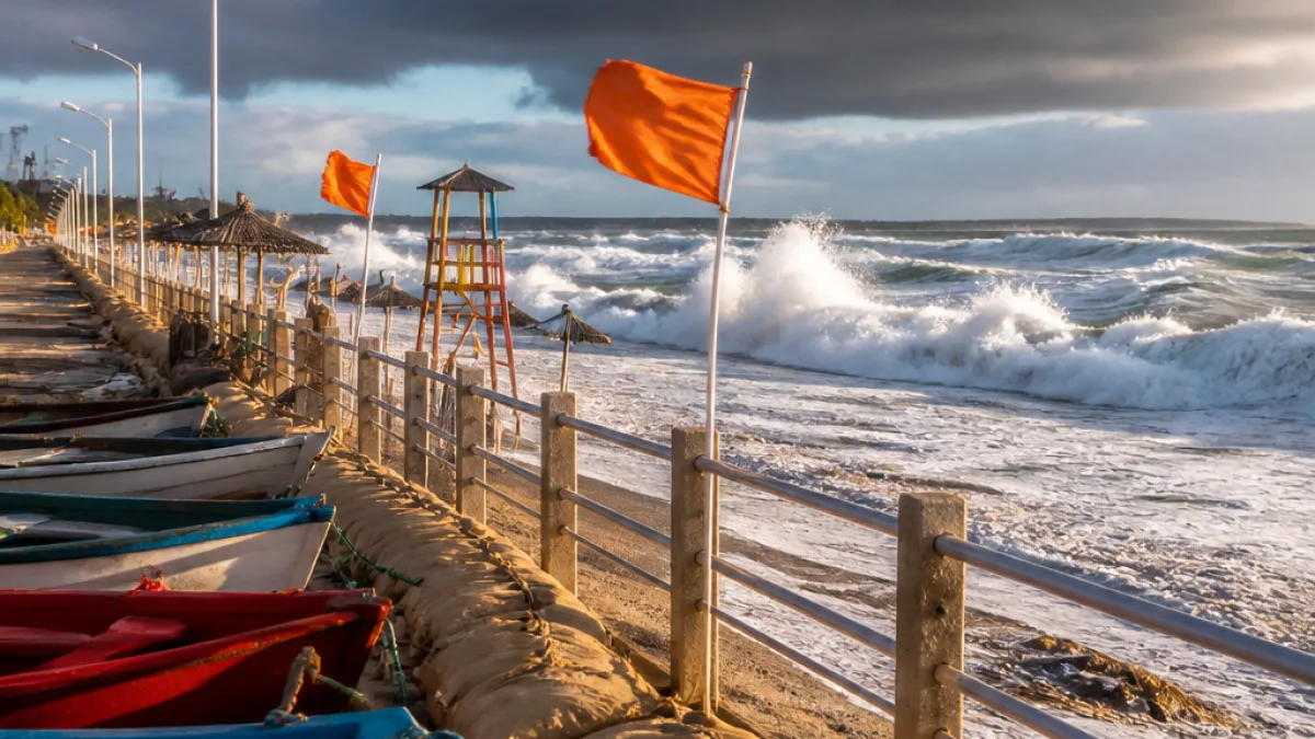
The South African Weather Service has warned that a cut-off low system will make landfall on Sunday and bring a potentially disruptive spell of weather to the Western and Eastern Cape coasts early next week. The system is expected to produce heavy rain, gale-force winds and dangerous seas, posing hazards for beachgoers, small vessels and low-lying coastal communities.
Immediate risks for coastal communities
Forecasters said waves of more than 4 metres are likely along parts of the south‑western coast, with gale‑force winds along the coastline. The combination of elevated sea states, strong onshore winds and heavy rain will increase the risk of coastal flooding, beach erosion and hazardous conditions at sea.
- Heavy rain: widespread falls expected as the system moves onshore from Sunday.
- Gale‑force winds: forecast along south‑western coasts, with strong gusts possible in exposed areas.
- Dangerous seas: waves in excess of 4m likely, creating peril for small craft and swimmers.
Authorities and residents in coastal towns are being advised to monitor weather updates and heed warnings from local emergency services. Small vessels and informal fishing operations should consider avoiding sea travel while the system is active.
National picture and downstream effects
While the cut‑off low is concentrated on the Western and Eastern Cape coasts, the Weather Service expects the system to move inland from Monday, bringing cooler conditions and rain to other parts of the country during the week.
“I know people are going to be worried about Gauteng province. Gauteng will only be affected from Tuesday onwards, mainly with rainfall and lower temperatures. At the moment, there’s nothing significant expected for Gauteng, as well as Mpumalanga,”
The senior forecaster, Tokelo Chiloane, said the inland progression will see a sharp drop in temperatures where the system tracks. At this stage, Gauteng and Mpumalanga are not expected to face significant impacts until later in the week.
What residents should do
Practical steps advised by forecasters and disaster management officials include:
- Stay informed via official Weather Service updates and local municipal alerts.
- Avoid coastal areas and beaches while warnings are in force; swimming and rock‑pool activities are particularly dangerous.
- Small‑scale fishers and recreational boaters should postpone trips until seas subside and local maritime authorities give the all‑clear.
- Secure loose outdoor items and prepare for possible power interruptions caused by falling trees or wind damage.
In the Western Cape the approaching system is likely to provide some relief to declining dam levels, but the priority for emergency services will be public safety while the severe conditions persist.
Data snapshot
| Feature | Expected impact |
|---|---|
| Waves | More than 4m along south‑western coast |
| Winds | Gale‑force along coastal sections |
| Timing | System makes landfall on Sunday; moves inland from Monday |
Local municipalities and disaster management centres in the Eastern Cape should prepare for storm‑related calls, particularly in low‑lying coastal wards and informal settlement areas close to the shoreline. Road users are also urged to exercise caution; heavy rain combined with strong winds can reduce visibility and create hazardous driving conditions.
This developing situation will be monitored closely. Residents are encouraged to follow updates from the South African Weather Service and their nearest municipal disaster centre for warnings specific to their area.
City: Gqeberha
Reporting from Gqeberha.