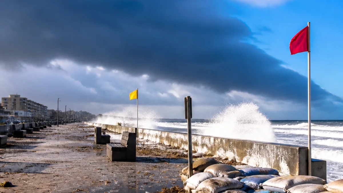
The South African Weather Service (SAWS) has warned that a cut-off low weather system will affect large parts of the country from Sunday into Tuesday, bringing colder temperatures, heavy rainfall, damaging winds and rough seas. The system is expected to make landfall over the western parts of the country before moving eastwards, placing the Eastern Cape among the provinces likely to experience deteriorating conditions from Monday.
How the system works
SAWS senior forecaster Tokelo Chiloane said cut-off lows are common during seasonal transitions and carry cold air from upper levels of the atmosphere down to the surface. That combination of cold upper-air energy and available moisture produces showers, thunderstorms and strong winds.
“Cut-off lows are dominant or frequent during the transition seasons, meaning that they occur in autumn as well as spring. The cut-off low system, by its nature, is a cold system, so it brings cold air from the upper levels and brings it down.”
Chiloane warned that the Northern Cape and Western Cape will be among the first provinces affected, with a 60% to 80% chance of showers and thundershowers in affected areas from Sunday to Monday, and an advisory for very cold temperatures in escarpment areas between the two provinces. The system is then expected to track east, with the Eastern Cape, Free State, Gauteng, Mpumalanga, North West and KwaZulu-Natal facing showers, thunderstorms and colder temperatures from Monday.
Local impacts and likely hazards
For the Eastern Cape, forecasters have highlighted the following risks:
- Heavy downpours that could cause localised flooding in low-lying and poorly drained areas;
- Damaging winds capable of toppling trees, causing localized structural damage and affecting high-sided vehicles;
- Colder temperatures — particularly overnight and at higher elevations — raising the prospect of uncomfortable conditions for residents without adequate heating;
- Rough to high seas and gale-force winds along exposed west and south-west coasts, making coastal activities hazardous.
Parts of the Eastern Cape coast were also flagged in a separate weekend outlook as having an increased chance of rain, with strong coastal winds indicated along sections of the province. Wind speeds noted for the wider coastal belt in that briefing reached about 40km/h along sections of the Eastern Cape coast, while the Western Cape coast could see gusts of around 55km/h.
| Area | Chance of showers/thundershowers |
|---|---|
| Northern & Western Cape (initial impact) | 60%–80% (Sun–Mon) |
| Eastern Cape (eastward move) | Showers, thunderstorms likely from Monday |
What residents and authorities should consider
Municipalities, emergency services and residents along river channels, coastal strips and in informal settlements should monitor SAWS advisories and local municipal alerts. Practical measures include clearing storm drains where possible, securing loose outdoor items, checking gutters and ensuring that vulnerable family members have access to warm shelter.
Mariners, small craft operators and coastal communities are advised to heed sea and wind warnings — the system is expected to produce rough to high seas and gale-force winds along west and south-west coasts before shifting east. People planning travel on affected days should allow extra time and exercise caution on flooded or debris-strewn roads.
Precautions for commuters and infrastructure
Local road and transport authorities should prepare for possible interruptions from flooding and fallen trees. In urban areas, heavy rainfall can quickly overwhelm drains and leave roads waterlogged; drivers are reminded not to attempt crossing flooded roads. Power disruptions caused by high winds are a reasonable possibility, so residents should prepare for short-term outages.
SAWS said it was still assessing which specific areas would be covered by formal warnings for heavy rainfall and flooding; further advisories and updates are expected as the system develops and moves eastwards.
Given the seasonal nature of cut-off lows, the current event is consistent with the pattern of increased storminess during transition periods. Provincial disaster management centres and metros should monitor river levels and be ready to activate response plans where communities are at risk.
Residents are urged to follow the SAWS website and official municipal channels for the latest warnings and to take precautions appropriate to their situation.