
Offshore storm expected to be a near miss for Washington
The Washington region is set to feel the edges of a nor'easter this weekend, but forecasters say the District is likely to avoid the storm’s most severe effects. The system is expected to strengthen off the Mid-Atlantic coast, producing the heaviest rain and strongest winds well to the north, particularly from Long Island into New England, according to Capital Weather.
Local officials and meteorologists caution, however, that a near miss does not mean no impact. The National Weather Service warned of breezy conditions across the area — especially east of I-95 — and said while conditions are expected to be mostly dry, a few showers cannot be ruled out as the nor'easter makes its closest approach.
“A developing Nor'easter offshore will produce breezy conditions across the region through this weekend, especially east of I-95,” the National Weather Service said.
Forecasters outlined a few focused concerns for Washington-area residents and officials:
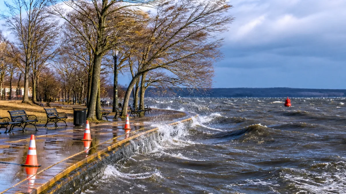
- Minor coastal flooding possible in low-lying areas along the tidal Potomac River and Chesapeake Bay.
- Gusty northeast winds could push water into tidal waterways and create elevated water levels near the shore.
- Higher rain chances and stronger winds remain more likely farther east and north, with the District and its immediate suburbs forecast to see limited precipitation.
What to expect locally
Wind gusts in the Washington region are expected to be modest compared with areas closer to the storm track, with some spots potentially seeing gusts around 25 to 30 mph. That level of wind can cause tree limbs to fall and make travel uncomfortable for high-profile vehicles, but is not typically associated with widespread outages or structural damage.
Where water and tides matter most — along the Potomac and Chesapeake Bay shoreline — even a slight push of water from persistent northeast winds can lead to nuisance flooding at low-lying streets, parks and boat ramps. Those living or working near the water should monitor tide forecasts and local advisories.
| Impact | Expected severity for Washington |
|---|---|
| Rain | Limited for the District; higher near Chesapeake Bay and eastern Maryland |
| Wind | Gusts around 25–30 mph in some areas |
| Coastal flooding | Minor, localized in low-lying tidal areas |
Meteorologists noted that nor'easters are coastal storms named for the strong northeasterly winds they produce, and while they are often associated with winter snowfall, they can develop in the fall and at other times of year. Some forecasters are watching the system to see whether it becomes the first nor'easter of the season if it follows the projected track.
What Washington residents should do
City and regional officials usually recommend residents take basic precautions ahead of coastal or windy storms: secure outdoor furniture, trim loose branches near homes, avoid driving through flooded streets and keep an eye on local alerts. Boaters and waterfront businesses should pay particular attention to tide forecasts and any marine advisories.
At this stage, forecasters say most of the Washington area will see only breezy conditions and limited rain. Residents should continue to monitor updates from the National Weather Service and local news outlets as the system approaches and forecast details are refined.
Local travelers, event organizers and property owners along the tidal waterways may want to prepare for nuisance flooding and gusty winds this weekend, even if the capital largely avoids the storm’s core impacts.














