
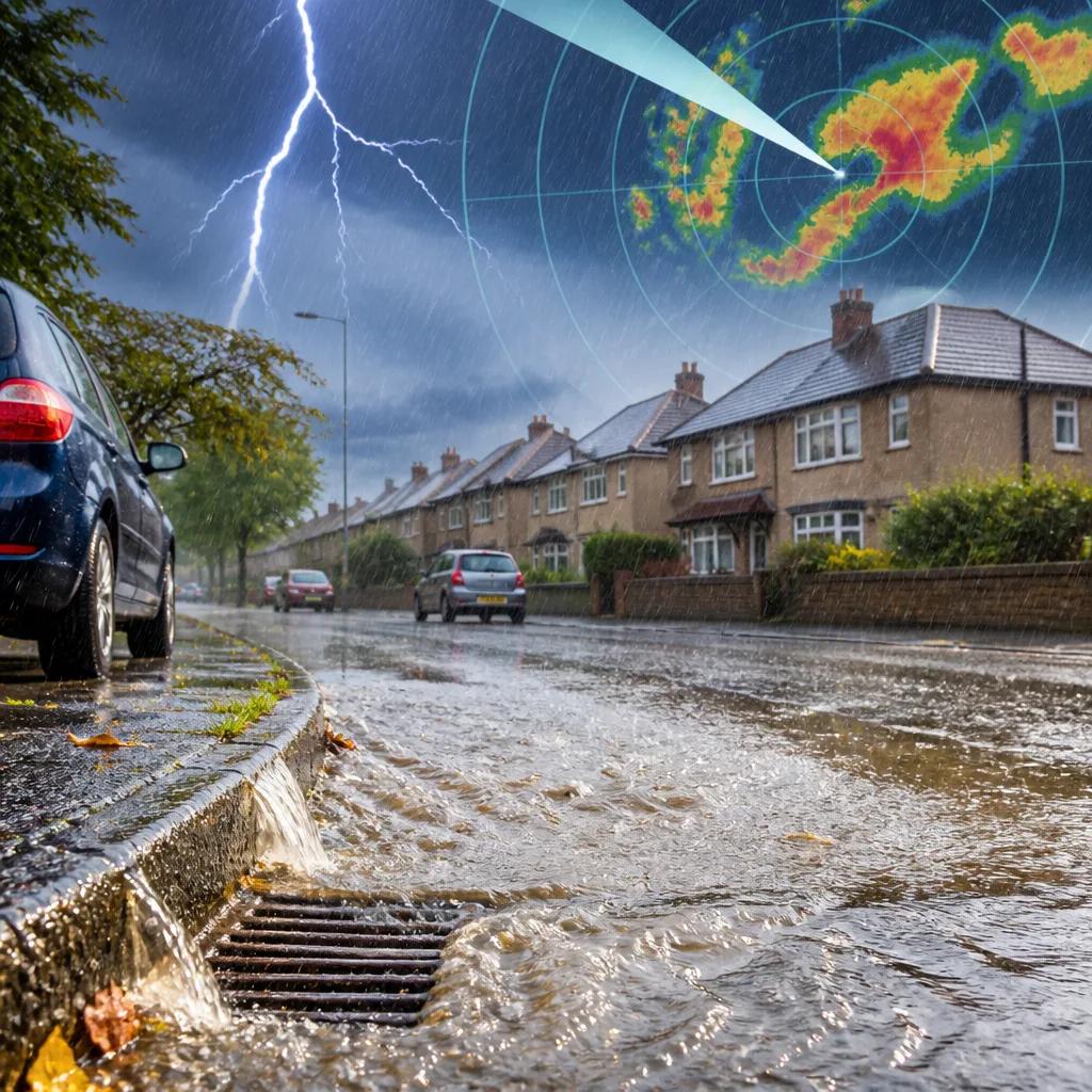
The National Weather Service (Greenville–Spartanburg) issued a weather alert for Catawba County on Saturday afternoon warning of thunderstorms producing very heavy rain and an elevated lightning risk. The advisory, issued at 12:29pm, was in force until 1:00pm.
What the watch says and what to expect
Radar observations noted a cluster of storms moving eastwards at around 10mph, bringing intense, short-lived bursts of rain across the Hickory area and surrounding communities. The primary hazards are rapid surface flooding in locations with poor drainage and a risk of flash rises on small streams. Lightning risk is also significant while storms are nearby.
“At 12:27 p.m., Doppler radar tracked a series of thunderstorms with very heavy rainfall across the Hickory area. The storms were moving east at 10 mph,”
The NWS warned that low-lying underpasses, ditches and areas with limited drainage can fill quickly during these downpours. Road users are urged not to attempt to cross flooded highways or subways where water obscures the road surface; small streams may rise rapidly and pose additional danger.
Clear, practical safety steps
When thunderstorms are approaching, the priorities are to seek a safe indoor location and avoid exposure to lightning and fast-moving flood water. The NWS guidance included the following immediate actions:
- Move indoors as soon as thunder is heard or conditions look threatening; have a plan to reach shelter quickly.
- Once inside, avoid contact with corded phones, plumbing, windows and doors until the storm has passed.
- Do not drive through flooded roads — even shallow water can disable a vehicle and conceal hazards.
- Wait at least 30 minutes after the last observed lightning or thunder before returning outdoors.
For people who cannot reach a sturdy building, the NWS reiterates how to reduce risk outdoors:
- Avoid open fields, hilltops, ridges and other elevated places.
- Keep well away from tall isolated trees or other prominent objects that could attract a strike.
- In forests, remain near lower trees rather than standing in the open.
- If with others, spread out so a single lightning strike is less likely to affect multiple people.
- When camping, choose lower ground such as a valley or ravine; remember that tents do not protect against lightning.
- Keep a distance from water, wet articles and metal objects — while they do not attract lightning, they can conduct electricity.
Context and consequences
Lightning is a persistent summer hazard in the United States: recent NWS figures indicate roughly 25 million cloud-to-ground strikes occur nationwide each year, with the season producing the majority of those incidents and an average of about 20 fatalities annually. The likelihood of a strike rises as a storm draws closer and peaks when the storm is overhead; the risk then diminishes as it moves away.
Because the threat here is associated with very heavy rainfall over a short period, localised flash flooding is the main concern. Even when an alert lasts only an hour, the consequences can be acute: water levels in underpasses and small watercourses can increase rapidly, and roads that appear passable may conceal deep water or debris.
| Item | Detail |
|---|---|
| Alert issued | 12:29pm (NWS Greenville–Spartanburg) |
| Area affected | Catawba County, including Hickory area |
| Threats | Very heavy rain, rapid flooding of poor drainage areas, lightning |
| Storm movement | East at ~10mph (as observed at 12:27pm) |
| Alert valid until | 1:00pm |
Practical advice for the public
If you live, work or travel in Catawba County during the warning period, check local radio, television and official NWS social channels for updates. Refrain from driving through flooded roads, find safe indoor shelter away from windows, and postpone outdoor activities until the threat has clearly passed and the 30-minute waiting guideline has been observed.
Storms of this type can be short-lived but intense; staying informed and acting quickly on official advice significantly reduces risk. Emergency services and meteorological agencies will issue further guidance if conditions change.









