
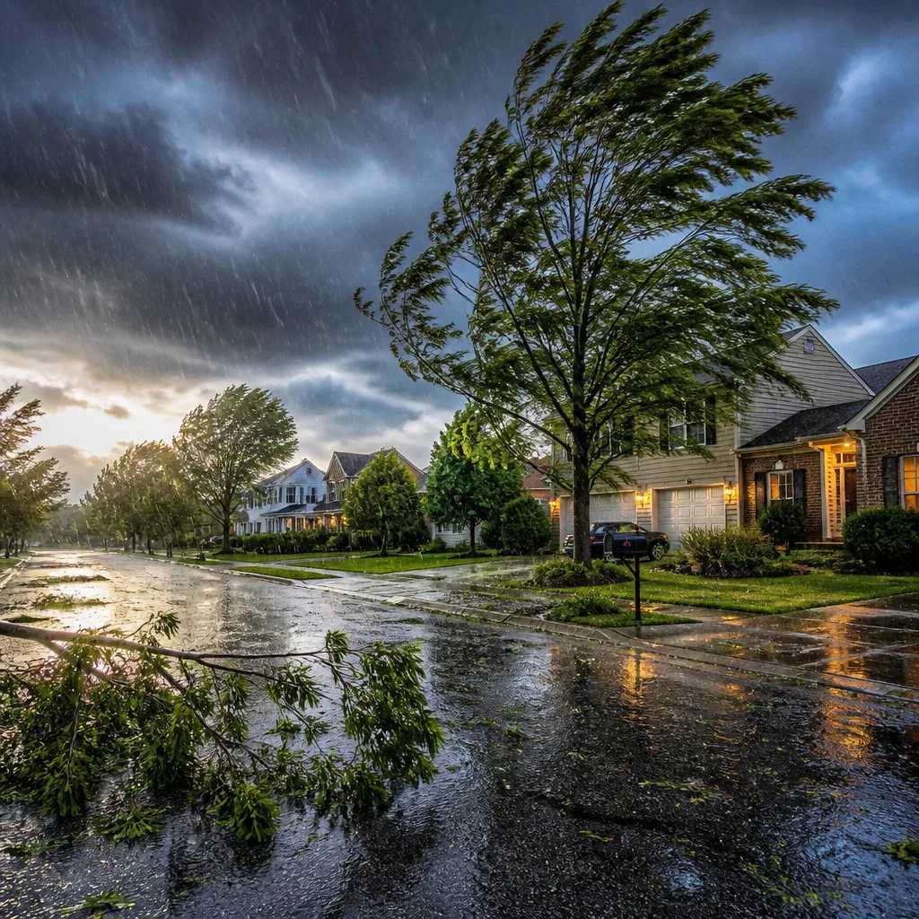
Expect storms to arrive Thursday afternoon into the evening across Maryland, bringing the greatest risk of damaging wind gusts and heavy downpours, with a small but real possibility of a tornado. The Storm Prediction Centre has placed the area under a SLIGHT risk (2 out of 5), signalling that organised severe thunderstorms are likely rather than isolated cells.
What to expect and when
Thunderstorms are forecast to develop and move through the region from the mid to late afternoon and continue into the evening. The principal hazards are:
- Damaging wind gusts capable of bringing down branches or causing local power outages
- Heavy rainfall leading to rapid surface water or flash flooding in poorly drained urban locations
- Low-end tornado risk — uncommon but possible within the stronger storm cores
Expect temperatures in the mid to upper 80s Fahrenheit ahead of the storms, helping to fuel instability through the afternoon. The axis of maximum risk is during the PM peak heating period into the evening rush, when storms are typically most vigorous.
| Time window | Primary threats | Confidence |
|---|---|---|
| Afternoon (mid‑late) | Lightning, heavy rain, gusty winds | Medium |
| Evening | Damaging gusts, embedded tornado risk, flash flooding | Medium |
| Friday | Drying and cooler | High |
Practical guidance — how to prepare
This is an event where simple, precautionary steps will reduce risk and disruption. Practical measures to take now include:
- Secure or bring inside loose garden furniture, bins and other items that can be blown about by strong gusts.
- Charge phones and power banks and keep a torch handy in case of local power cuts.
- If you are driving, plan for sudden heavy rain and reduced visibility; avoid driving through floodwater.
- Monitor weather updates from local broadcasters and the national weather service, and be ready to move to a safe place if a tornado or severe thunderstorm warning is issued.
For those with outdoor events or travel planned for Thursday afternoon and evening, consider contingencies: postponing if possible, or at least having a nearby indoor location available. Organisers should anticipate short-notice cancellations or delays.
Forecaster confidence and what could change
Forecasters are reasonably confident that thunderstorms will develop and affect the area during the stated period; however, the precise timing and severity of individual storms remain uncertain until they are nearer in time. The SLIGHT risk indicates a higher-than-normal chance of organised severe storms but is not the highest level of alert.
Key factors that could increase or reduce impacts include small shifts in the storm track, the timing of frontal passages, and how quickly convection becomes organised. If storms consolidate into a strong line, damaging winds and a greater area of disruption would be more likely. Conversely, if development remains scattered, impacts would be more localised.
After a brief respite on Friday, model guidance indicates another round of storminess may be possible on Saturday, with a trend towards cooler and drier conditions next week. Keep watching updates over the next 24–48 hours for refinements to timing and local risk.
Stay informed
Monitor official warnings from emergency services and the national weather agency. When a warning is issued:
- Treat it as prompt to act — do not wait until the last minute.
- Move indoors away from windows if dangerous winds or tornado warnings are reported.
- Report any severe impacts to local authorities if it is safe to do so.
We will continue to track developments and provide updates as warnings are issued or conditions evolve. The best immediate actions are to secure loose items, keep devices charged, and be ready to change plans should storms intensify.









