Africa does not primarily lack scientific knowledge to address land degradation and drought, a Nigerian geography professor told delegates at COP17 in Ulaanbaatar — but the continent does suffer from critical gaps in data continuity, predictive capacity and the institutions needed to turn evidence into action.
From satellites to the farm gate: the missing links
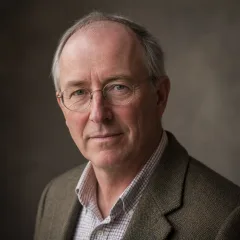
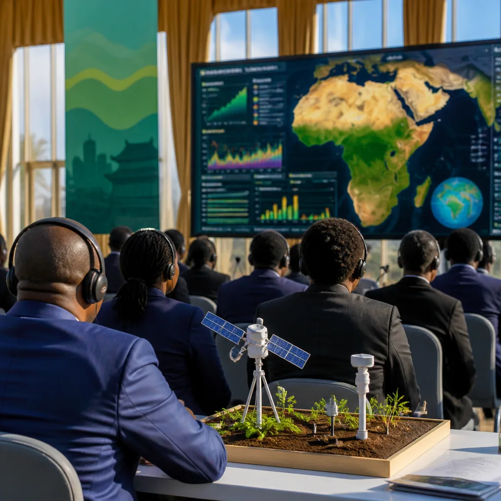
Speaking on the sidelines of the UN climate talks, Oluseyi Ifatimehin, Professor of Geography (Environmental Resource Planning) at Kogi State University and Science and Technology Correspondent to the UNCCD, argued the problem is not availability of remote sensing per se but the absence of dense, continuous and interoperable ground datasets that make satellite observations useful at local scales.
“Satellite data are increasingly available, but they need to be combined with reliable ground observations to produce information that is useful at the farm, watershed and community scales,” he said.
“From my perspective, Africa does not primarily suffer from a lack of scientific knowledge. The bigger problems are gaps in data continuity, local-scale evidence, technology deployment and the capacity to translate evidence into decisions.”
Ifatimehin set out three interlocking weaknesses that limit Africa’s ability to prevent and remediate land degradation:
- Data continuity and local-scale evidence: sparse ground observations on soil health, groundwater, vegetation and land-use change make it hard to create actionable intelligence at the level of farms and communities.
- Predictive capacity: existing systems tend to answer where degradation has occurred rather than where and when it will occur next and how severe it will be.
- Sustained investment and institutional capacity: a shortage of funding for laboratories, monitoring networks, data infrastructure and technical staff hampers long-term response.
Practical steps proposed
To close those gaps, Ifatimehin urged countries to build stronger national and regional land and drought observatories that integrate satellite and ground data, strengthen universities and research institutions, and develop clear outcome indicators. Examples of such indicators, he said, could include restored hectares, changes in soil organic carbon and vegetation recovery, though he emphasised the need for measures that are comparable and actionable.
| Gap | What is needed |
|---|---|
| Data continuity | Dense, interoperable datasets combining satellite and ground observations |
| Predictive capacity | Tools to forecast where, when and how severe degradation or drought will be |
| Institutional investment | Long-term funding for labs, monitoring networks and technical personnel |
Ifatimehin also highlighted the need to move beyond descriptive science towards decision-focused questions: not only where degradation has happened, but where it is likely to happen next, when it will occur, how severe it will be and what farmers and governments should do now. That shift demands different methods — and different investments.
The interview underlined a recurring theme at COP17: global observations and high-resolution satellite imagery are valuable, but their utility is limited unless countries invest in ground truthing, predictive modelling tailored to local circumstances, and mechanisms that translate scientific outputs into policy and practice.
For African governments, Ifatimehin recommended prioritising national and regional observatories, integrating multiple data streams, and strengthening the research and monitoring backbone of policy. Without those basic building blocks, the professor warned, well-meaning interventions risk remaining generic rather than tailored and timely.