
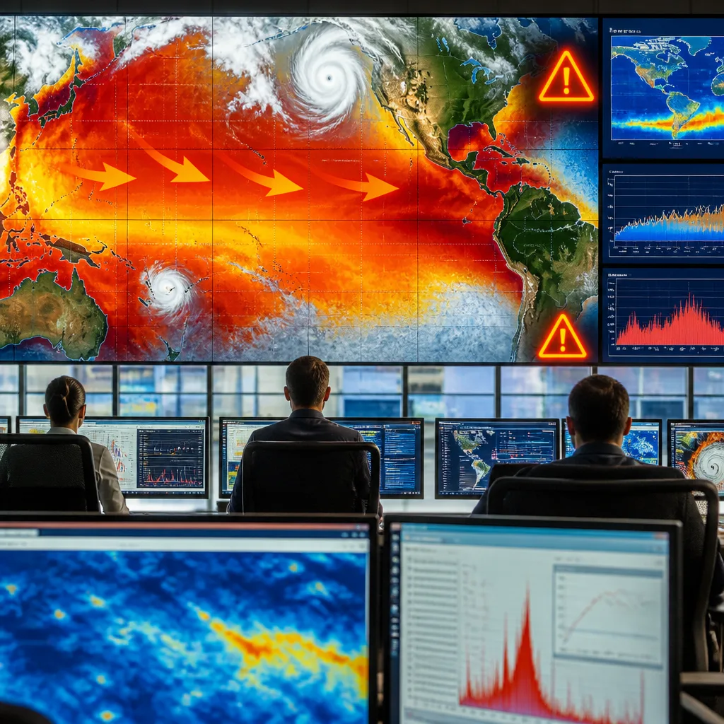
What to expect: a powerful El Niño is building in the tropical Pacific and is likely to influence weather on multiple continents over the coming months. Agencies around the world are closely monitoring unusually swift warming of surface waters, a process that typically alters rainfall distribution, raises temperatures and can change storm patterns. The confidence in a significant event forming is high, but the precise regional effects and their timing remain uncertain.
How El Niño works and why this one matters
El Niño develops when large areas of the equatorial Pacific become substantially warmer than average. This reduces the usual east‑to‑west trade winds, allowing warm water to accumulate in the eastern and central tropical Pacific. When that ocean heat is released to the atmosphere it can trigger far‑reaching changes in weather — from enhanced rainfall in some regions to droughts in others, and altered tropical cyclone and storm patterns.
Forecasters are particularly concerned because this episode has strengthened exceptionally quickly. Rapid intensification increases the risk of stronger-than-usual impacts, though the exact pattern of effects differs from one El Niño to another.
Observed thresholds and historical comparisons
Scientists use a specific Pacific index to determine whether conditions meet the criteria for El Niño. The commonly monitored area is known among meteorologists as NINO3.4. A commonly used threshold is when sea surface temperatures in that region exceed the long-term average by 0.5°C for three overlapping three-month periods; meeting that test signals an El Niño is in effect. Different agencies use slightly different regions and methods, and some include atmospheric signals as part of their assessment.
| Element | Typical criterion |
|---|---|
| Region monitored | NINO3.4 (central‑eastern tropical Pacific) |
| Temperature threshold | +0.5°C above normal (three overlapping three‑month averages) |
| Additional checks | Some agencies include atmospheric indicators or use alternate indices |
Likely impacts and sectors to watch
Past El Niño episodes show a mix of outcomes, and not all impacts are adverse everywhere. Nonetheless, there are consistent patterns that communities, businesses and planners should consider:
- Rainfall shifts: some regions typically experience wetter winters while others become drier; parts of the US Southwest, for instance, are often wetter in winter during El Niño years.
- Temperature changes: global and regional temperatures can be pushed above typical values as ocean heat is transferred to the atmosphere.
- Storm and cyclone behaviour: tropical cyclone activity and mid‑latitude storm tracks can be altered, affecting coastal and inland flooding risks.
- Economic and environmental effects: sectors such as agriculture, fisheries and winter tourism can be disrupted — fisheries by shifts in ocean ecology and ski seasons by reduced snowfall in some areas.
Historical strong El Niño events, for example those in the late 1990s and mid‑2010s, saw sea levels in parts of the tropical Pacific rise by more than 18 centimetres, illustrating the scale of oceanic change that can accompany a vigorous event.
What to do now
For the public and decision‑makers, sensible preparation focuses on monitoring official updates from national meteorological services and adapting plans where feasible. Actions to consider include:
- Staying informed about seasonal outlooks produced by recognised agencies.
- For water managers and farmers: reviewing water storage and crop plans in light of updated rainfall forecasts.
- For local authorities and emergency planners: examining flood and storm contingency arrangements and ensuring communities have clear guidance.
Forecast confidence that an El Niño is occurring is high, given the strength and speed of the ocean warming observed. However, predicting precise regional consequences — for example exactly where rainfall will increase or decrease, or how storm tracks will shift — carries more uncertainty. The coming months’ updates from meteorological agencies will refine seasonal outlooks and help target preparations.
Bottom line: this fast‑building El Niño warrants attention now. It is a natural climate event with the power to influence weather, water supplies and a range of economic activities across many countries. Remain attentive to official forecasts and update plans as agencies provide more detailed regional guidance.









