
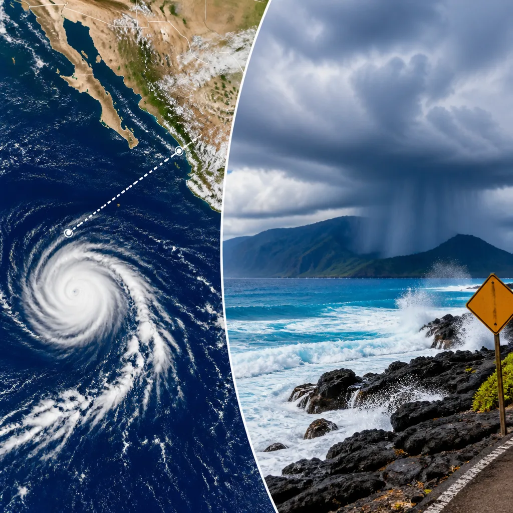
Tropical Storm Hernan has formed in the Pacific Ocean but is not currently a threat to land, while a separate disturbance — designated Potential Tropical Cyclone One-C — is tracking towards the Hawaiian Islands and may bring heavy rain, strong winds and dangerous surf from late Friday.
Where the systems are and what they may bring
The Miami-based National Hurricane Center (NHC) reported Hernan was located about 1,460 miles (2,350 kilometres) west of the southern tip of Mexico’s Baja California peninsula, with maximum sustained winds near 40 mph (64 kph) and moving westward. At present, the storm poses no direct threat to land.
Separately, the NHC described a less organised system, labelled Potential Tropical Cyclone One-C, at roughly 775 miles (1,247 kilometres) east-southeast of Hawaii. Winds were also close to 40 mph, but the centre judged it not yet sufficiently organised to be classified a tropical storm.
| System | Distance from land | Reported winds | Immediate risk |
|---|---|---|---|
| Hernan | 1,460 miles / 2,350 km west of Baja California | ~40 mph / 64 kph | No threat to land |
| Potential Tropical Cyclone One-C | 775 miles / 1,247 km east-southeast of Hawaii | ~40 mph / 64 kph | Heavy rain, wind, surf for Hawaii; possible landfall |
Forecast timing and hazards
Forecasters warned that the disturbance near Hawaii could begin affecting the islands late on Friday, with the greatest impacts expected through the weekend. There is a possibility it will strengthen sufficiently to be classed as a tropical storm before reaching the Big Island, with some models and the NHC indicating a potential landfall on the southern coast of the island as a tropical storm on Saturday.
The NHC highlighted rainfall outlooks that warrant concern: typical guidance indicates total accumulations of 5 to 10 inches (13 to 25 centimetres) across the island chain, with isolated areas potentially receiving up to 20 inches (51 centimetres). Such totals raise the risk of flash flooding and mudslides — hazards of particular consequence on steep terrain and in areas affected by previous wildfires where soils are unstable.
- Rainfall: 5–10 inches expected, up to 20 inches in spots.
- Wind: sustained winds around 40 mph reported; strengthening remains possible.
- Coastal impacts: dangerous surf and high surf advisory conditions likely.
What residents and visitors should do
Where this disturbance is expected to affect land, residents and visitors should monitor local official warnings and be prepared to take action. Practical steps include having an emergency kit ready, checking evacuation routes if you are in a flood-prone location, and avoiding travel through flooded roads. Mariners and coastal users should heed surf and small craft advisories; dangerous surf can produce rip currents and hazardous breaking waves.
Confidence in exact timing and intensity remains limited while the system is still organising. Forecasts for tropical systems can change rapidly as they interact with ocean temperatures and atmospheric conditions; therefore, people should refresh forecasts from the NHC and local Hawaiian emergency management authorities regularly.
Hernan, by contrast, is distant and moving westward away from land. It will be monitored for any changes in strength or track, but there is presently no indication it will pose a threat to populated areas.
In summary: monitor local guidance for Hawaii over the next 48–72 hours, prepare for heavy rain and potential flooding, and note that the Pacific currently hosts both a distant tropical storm and a nearer disturbance that could impact the island chain.









