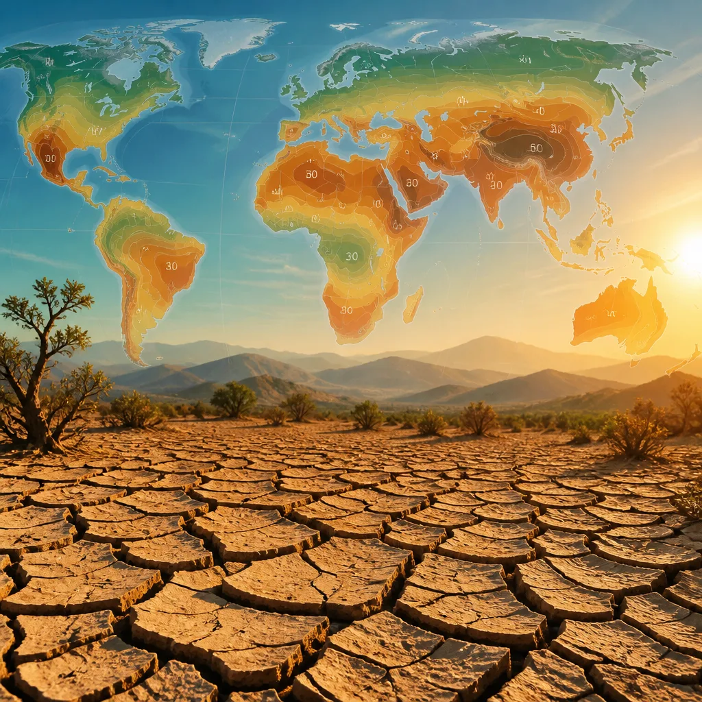
New projections published in Environmental Research Letters indicate that dryland climates could expand to cover more than 40% of the world's land surface by the close of the 21st century, with significant implications for water supply, ecosystems and agriculture.
How the researchers reached their estimate
The team, led by scientists at the Chinese Academy of Forestry, used updated climate-model data to map present-day dryland distribution and to forecast shifts under future climatic conditions. They classified drylands using the aridity index (AI) — the ratio of precipitation to potential evapotranspiration — and designated areas with an AI below 0.65 as dryland.
The modelling indicates a poleward and elevational advance of arid conditions as the climate warms, with formerly moister regions moving into drier categories as evaporation and plant water loss outstrip precipitation.
"Expansion of dryland climatic conditions into formerly more humid regions may aggravate water scarcity, ecosystem degradation and desertification, posing challenges to global sustainable development," the authors write.
Key drivers and a surprising moderating influence
While warming generally drives greater evaporative demand and hence expands dry climates, the authors identify an unexpected countervailing effect: rising atmospheric carbon dioxide (CO2). Higher CO2 concentrations can reduce plant water loss by partially closing stomata and thus lower transpiration. In the models used, this physiological effect of CO2 acts to slow — though not halt — the projected expansion of drylands.
This result underscores that multiple processes interact in climate impacts assessments: changes in temperature and precipitation, shifts in evaporative demand, and biological responses to CO2 all shape future aridity.
Consequences for people and ecosystems
The conversion of more land to dryland conditions would intensify pressure on water resources, increase the risk of ecosystem degradation and raise the possibility of desertification in vulnerable regions. The authors stress the need for harmonised methods to estimate dryland extent and updated assessments to guide adaptation and sustainable development planning.
- Definition used: aridity index (AI) = precipitation / potential evapotranspiration; dryland if AI < 0.65.
- Projected coverage: drylands could exceed 40% of Earth’s land area by 2100.
- Notable influence: elevated CO2 partially offsets expansion by reducing plant water loss, in the models applied.
| Metric | Threshold/Value |
|---|---|
| Aridity index (AI) | Precipitation / potential evapotranspiration; dryland if AI < 0.65 |
| Projected dryland coverage by 2100 | Over 40% of land area |
The research team emphasises that estimates of present and future dryland extent vary with the data and methods used. Differences in climate inputs, definitions of aridity and vegetation responses all contribute to uncertainty. Nevertheless, the broad conclusion is robust across many studies: warming tends to expand areas that are water-limited.
For policymakers and land managers, the finding is a call to update vulnerability assessments and adaptation strategies. Areas that today are marginally humid may, in coming decades, face drier conditions that challenge crop viability, reduce streamflow and alter ecosystem services.
In short, the study offers a quantified, methodical forecast of a shifting global water balance — a reminder that climate change reshapes not only temperatures and sea level, but the very patterns of wet and dry on which societies and natural systems depend.