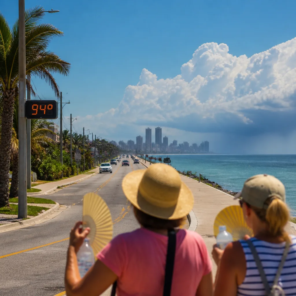
The official Heat Advisory for Sarasota and Manatee counties has been cancelled, but residents should expect more hot, humid weather over the coming days rather than instant relief. A persistent high-pressure pattern and dry low-level air will keep temperatures well above seasonal norms through the end of the week, with only a short-lived window for showers on Friday.
What to expect this week
Overnight temperatures will remain uncomfortably warm. Expect lows close to 79°F on Wednesday night, leaving little night-time relief. Daytime maxima are forecast to climb into the mid-90s °F on Thursday, several degrees above the local seasonal average of about 91°F. With high humidity, apparent temperatures (what it feels like) will be higher than the mercury alone suggests.
- Wednesday night: Warm and muggy; overnight low near 79°F.
- Thursday: Hot, humid and hazy; highs into the mid-90s.
- Friday: Best chance of scattered showers and thunderstorms, mainly inland during afternoon and evening.
- Saturday: Heat returns quickly; highs around 94°F with dry conditions re-establishing.
Where any rain is likely
The pattern shift due on Friday should briefly return more moisture and instability to the region, producing scattered storms. Coverage will not be uniform; inland areas are most likely to see storms, while coastal communities in Sarasota and Manatee counties can expect more limited shower activity. Any storms that do form could produce brief heavy rain, frequent lightning and locally gusty winds, but widespread severe weather is not indicated in current guidance.
| Period | Primary weather | Key impacts |
|---|---|---|
| Wed night | Warm, muggy | Little overnight cooling; discomfort sleeping outdoors |
| Thu | Hot, humid, hazy | Heat stress risk for outdoor workers and vulnerable people |
| Fri (afternoon/evening) | Scattered showers & thunderstorms (inland focus) | Short-lived relief; possible heavy rain and gusty winds in storms |
| Sat | Hot, mostly dry | Return to high temperatures; outdoor heat risk resumes |
Advice and safety precautions
Even though the formal advisory has been removed, the conditions remain hazardous for some groups. The combination of high humidity and elevated temperatures raises the risk of heat-related illness, particularly for older people, very young children, those with health conditions, and anyone doing strenuous outdoor work.
- Stay hydrated and take frequent breaks in shaded or air-conditioned areas.
- Avoid the hottest part of the day for strenuous activity; if you must work outdoors, increase rest breaks and watch for heat exhaustion symptoms.
- Check on neighbours and family members who may be vulnerable, and ensure pets have cool water and shade.
- Use sun protection — hats and sunscreen — and be cautious near roads and surfaces that retain heat.
Marine and coastal outlook
Boaters and those using local waters should find generally favourable conditions on Thursday, with light chop expected and no significant marine hazards forecast for the local coastal waters. Nevertheless, anyone heading offshore should monitor updated marine guidance and keep an eye on weather during the Friday afternoon window when convective activity will be more likely inland.
Tropical update
Forecasters are noting an uptick in tropical activity across the Atlantic basin. Importantly, there are currently no active tropical threats to land for the region. This situation bears watching as the season progresses, but at present there is no direct danger from any tropical system.
Confidence in the short-term forecast (temperature and the Friday rain chance) is moderate-high because the ridge and subsequent pattern shift are well indicated in model guidance. The timing and coverage of Friday’s showers are less certain, so keep an eye on local updates if you have plans that could be affected.
In short: the Heat Advisory may be gone, but the heat is not. Expect another warm, sticky day or two, plan to stay cool and hydrated, and watch for isolated inland storms on Friday that could bring temporary relief.