South Florida is under a heat advisory as forecasters warn of prolonged hot and humid conditions and track several areas of potential tropical development in the Atlantic.
What to expect today
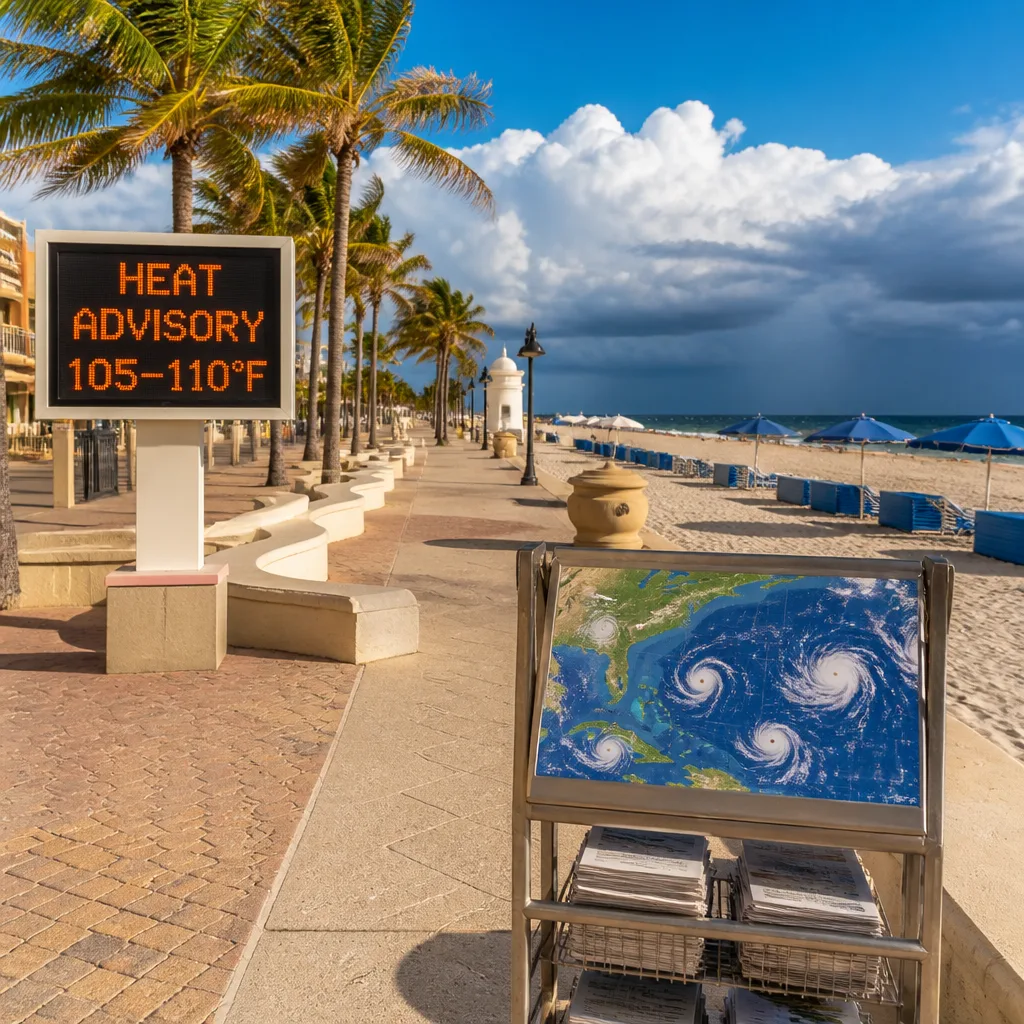
Local authorities issued a heat advisory for Broward and Miami‑Dade counties that runs from noon until 7pm. The advisory reflects elevated heat indices — widely reported at 105°F to 110°F — which can pose a health risk for those who are exposed or engaged in strenuous activity.
Despite the oppressive heat, forecasters say the chance of rain has increased compared with recent days and scattered showers and thunderstorms are expected to develop as the sea‑breeze weakens and moisture builds inland. There is a low risk of rip currents along Atlantic beaches, and at present there are no marine advisories for offshore or Keys waters.
Short-term outlook and impacts
- Temperatures: Highs are expected to reach the low‑90s Fahrenheit across the region, with the combination of heat and humidity making it feel like the 100s.
- Rain: Scattered showers and thunderstorms are possible today and into Thursday, offering a chance of short‑lived relief in some areas.
- Beaches and boating: Rip currents are possible but currently assessed as a low risk; there are no current warnings for recreational boaters.
Practical precautions remain important. Those planning outdoor activity should take frequent breaks, stay hydrated and be prepared to move indoors if a storm develops. Employers and event organisers should consider protective measures for outdoor workers and vulnerable groups.
Tropical outlook
The NEXT Weather team is monitoring three areas in the tropics. Of particular interest is a tropical wave in the central Atlantic, situated about 800 miles southwest of the Cabo Verde islands. Forecasters assess this feature as having a high potential of becoming a tropical depression within the next couple of days as it moves westward to west‑northwestward across the central tropical Atlantic.
That system is expected to encounter stronger wind shear and a mass of Saharan dust later in the weekend and into early next week. Those factors typically inhibit development, which forecasters say could limit strengthening once the system reaches that region.
A second wave in the central subtropical Atlantic carries a medium potential for development over the next seven days but is expected to move eastward, while a third area is also being tracked though details were not expanded on in the latest briefing.
| Feature | Current assessment |
|---|---|
| Heat advisory | Broward & Miami‑Dade, noon–7pm; heat indices 105–110°F |
| Primary tropical wave | Located ~800 miles SW of Cabo Verde; high chance of depression in a couple of days |
| Later conditions | Expected stronger wind shear and Saharan dust this weekend/early next week |
Confidence and what to watch
The immediate heat threat for South Florida is clear and supported by current observations; the level of confidence in short‑term thunderstorm activity is moderate as localised sea‑breeze interactions can be hard to predict precisely. Confidence in the primary tropical wave developing into a depression over the next 48–72 hours is sufficiently high for forecasters to flag it, but subsequent evolution will depend on environmental factors — notably wind shear and the arrival of Saharan dust — that are expected to become more hostile to development later in the period.
Residents, mariners and visitors should monitor updates from local weather services and National Hurricane Center advisories as the situation evolves, and take sensible precautions against heat stress and sudden storms.