
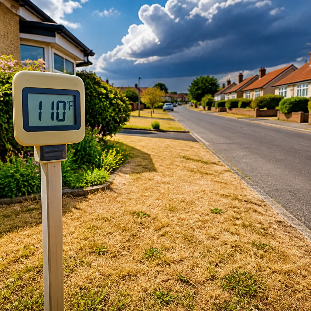
An extreme heat warning is in force across parts of central Alabama as daytime temperatures are forecast to reach the upper 90s to lower 100s, with heat index values expected between 105°F and 113°F. The state's First Alert Weather Team has signalled that the heat will be the dominant hazard today, while scattered storms could bring brief severe risks later in the afternoon and evening.
What to expect today
The morning will be warm and humid, with temperatures beginning in the 70s. Rapid heating through the day will push actual air temperatures into the mid-90s and, in some locations, above 100°F. Because humidity will remain high, the perceived temperature — the heat index — will climb well above the air temperature, increasing the risk of heat-related illness for anyone outdoors or in poorly ventilated spaces.
- Forecast highs: mid-90s to lower 100s.
- Heat index: expected to range from 105°F to 113°F.
- Record highs for the date: Birmingham 102°F (1995), Tuscaloosa 104°F (2000), Anniston 101°F (2000).
There is potential for locations such as Birmingham to approach or reach the century mark; if Birmingham tops 100°F today it would be the first occurrence since 20 August 2025. Stay aware of local updates if you have plans outdoors.
Storms later — a secondary threat
Although the day is dominated by heat, scattered showers and thunderstorms are expected to develop during the afternoon and persist into the evening. The Storm Prediction Center has placed far northeast Alabama under a marginal (level 1 of 5) severe risk. The principal severe threat from these storms is damaging wind gusts near 60 mph, with isolated strong to severe storms possible between approximately 14:00 and 22:00 local time.
The arrival of these storm systems will provide some relief from the heat in affected areas but can also increase hazards through sudden downpours, gusty winds and lightning. Anyone in the path of storms should monitor watches and warnings and avoid driving through heavy rain.
| City | Historic record (date) | Today’s forecast |
|---|---|---|
| Birmingham | 102°F (1995) | Upper 90s–around 100°F |
| Tuscaloosa | 104°F (2000) | Upper 90s–lower 100s |
| Anniston | 101°F (2000) | Upper 90s |
Short-term outlook and public advice
Heat is expected to persist through the week. Highs will remain in the 90s for several days, and heat indices near or above 105°F are likely to continue. Several waves of rain and thunderstorms are forecast beginning midweek; a frontal passage between Wednesday and Friday is expected to increase shower and storm chances and should lower temperatures to more typical summer levels by the weekend.
Practical precautions to reduce heat risk include:
- Stay hydrated and avoid strenuous activity during the hottest parts of the day.
- Seek air-conditioned locations if possible; check on elderly or vulnerable neighbours.
- If you must be outdoors, take frequent breaks in shade and wear lightweight clothing.
- Monitor local forecasts and hazard alerts in case storms develop rapidly.
The combination of extreme heat and the possibility of later storms creates a two-fold hazard: prolonged exposure to high temperatures, and short-lived but intense convective events. Confidence in the heat forecast for the next 24–48 hours is high; the timing and coverage of afternoon and evening thunderstorms carry greater uncertainty, and residents should follow updates from local meteorological services for the latest watches and warnings.
Authorities and weather services continue to urge caution over the coming days. Those living, working or travelling in central Alabama should make heat safety plans now and be prepared for a change to stormier conditions midweek.









