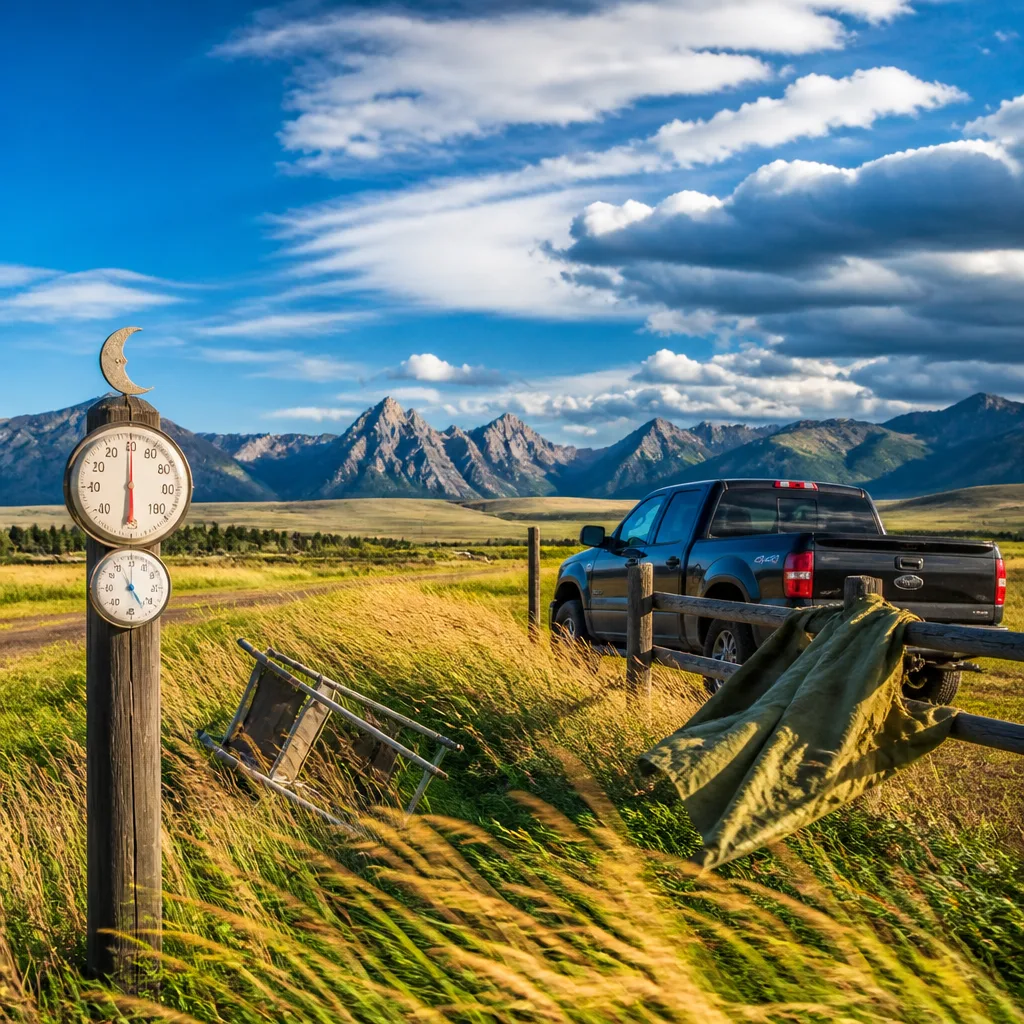
Sunshine and brisk winds will be the headline for much of Wyoming on Sunday, with most communities seeing warm daytime temperatures but blustery conditions that could make it feel cooler. While the majority of the state stays dry through the afternoon, there is a risk of showers moving in for some areas after dark and significant overnight cooling in higher valleys.
What to expect today and tonight
Daytime readings generally sit in the low 70s to upper 80s Fahrenheit, but exposure to strong gusts will be a feature for many. Overnight, cloud trends and a weak disturbance will bring a chance of rain to parts of the state, though most locations will only see a slight or brief sprinkle. Temperatures will fall unevenly, with lowlands remaining mild while higher-elevation sites drop into the 30s.
Key regional notes
- Central Wyoming (Casper, Lander, Shoshoni): Sunny and gusty through the afternoon with highs around the mid-80s at lower elevations. Wind gusts may reach the mid-20s (mph). Overnight there is a greater likelihood of rain in the central corridor, and winds remain lively.
- Southwest (Evanston, Rock Springs, South Pass): Sunny to increasing cloudiness and breezy conditions. Evanston may see the strongest gusts with potential up to 38 mph. Some locations could pick up rain late at night or in the early hours.
- Western valleys (Pinedale, Afton, La Barge): A bright day with persistent breezes; the coldest overnights are expected here, with lows in the low-to-mid 30s.
- Northwest (Dubois): Mostly sunny but with a slight chance of an afternoon shower. Winds will be noticeable, and overnight remains dry for most.
Selected forecasts (high / overnight low / peak gust)
| Location | High (°F) | Overnight low (°F) | Peak gust (mph) |
|---|---|---|---|
| Casper | ~85 | ~61 | ~28 |
| Lander | ~85 | ~53 | ~26 |
| Shoshoni | ~89 | ~54 | ~25 |
| Evanston | ~77 | ~40 | ~38 |
| Rock Springs | ~82 | ~45 | ~22 |
| South Pass | ~75 | ~42 | ~37 |
| Pinedale | ~76 | ~34 | ~26 |
| Afton | ~77 | ~33 | ~21 |
| La Barge | ~78 | ~34 | ~31 |
| Dubois | ~74 | — | ~29 |
These figures are rounded and represent the general guidance for the named communities; local conditions and elevation will affect actual readings.
Impacts and practical advice
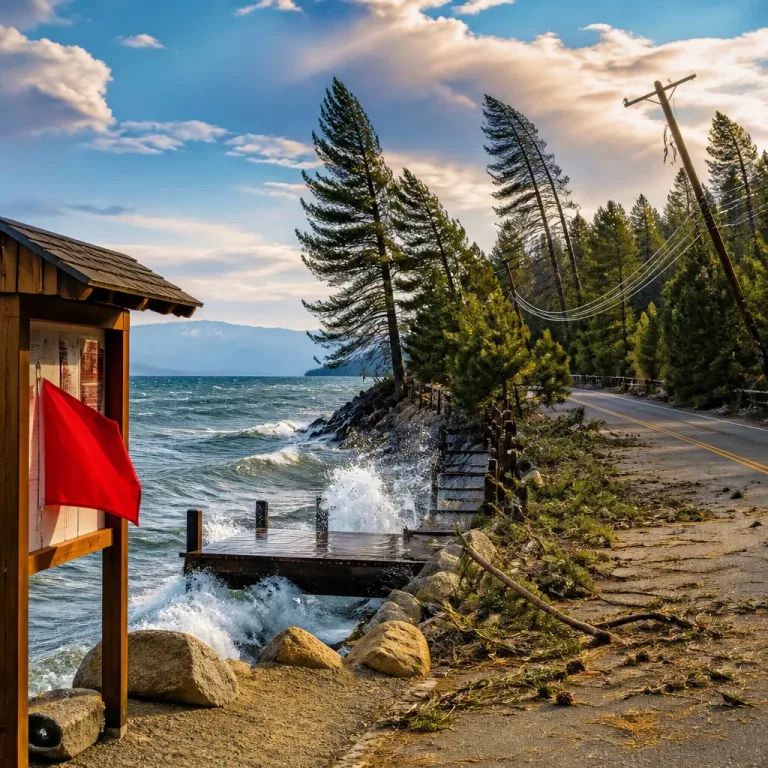
Gusty winds increase the risk of:
- Blowing dust and reduced visibility in dry areas;
- Difficulty for high-sided vehicles on exposed routes and mountain passes;
- Delayed outdoor activities where secure anchoring is needed (canopies, signage, temporary structures).
What to do:
- Secure loose outdoor items and be cautious when driving, particularly if you are in a high vehicle or towing.
- Plan for cooler overnight temperatures if you are camping or working outdoors at higher elevations; expect lows near the freezing mark in the coldest valleys.
- Keep an eye on short-term updates if you are in central or southwest Wyoming, where the chance of late evening or early-morning rain is higher.
Confidence in the broad pattern — a sunny, windy day followed by patchy overnight showers and strong diurnal cooling in elevated terrain — is moderate. Small-scale timing of the showers and exact gusts will depend on local terrain and where the weak disturbance tracks overnight. Check the latest local forecasts before travel or outdoor plans, and be prepared for gusty conditions through the period.
Summary: A sunny, windy Sunday for most of Wyoming with highs in the 70s–80s, isolated overnight rain for some areas and chilly lows, especially at higher altitudes. Take care on the roads and be ready for sudden gusts.