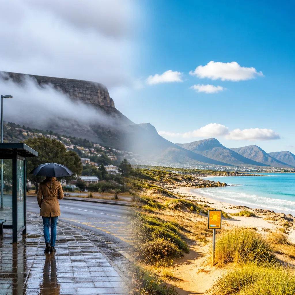
The South African Weather Service is forecasting a split pattern across the country, with much of the central and eastern interior expecting cool, cloudy conditions and isolated rain while the Western and some coastal parts of the Cape provinces enjoy warm, sunny weather. Authorities have not issued any severe weather warnings or fire-danger alerts for the day.
What to expect today
Across the central and eastern interior — including Gauteng, Mpumalanga, Limpopo, the Free State and parts of the North West — skies are likely to be predominantly cloudy with the possibility of isolated showers or light rain. Morning fog is expected in places along the escarpment and in parts of the eastern Free State.
- Gauteng: Cloudy and cool; isolated showers possible.
- Mpumalanga and Limpopo: Morning fog on the escarpment; cloudy and cool thereafter with isolated rain.
- North West: Cloudy and cool in the morning, improving into the afternoon with a chance of isolated showers in the east.
- Free State: Cloudy to partly cloudy with isolated showers, except in western parts; morning fog possible in the east.
- Western and Eastern Cape: Generally warm and sunny, with the Western Cape seeing very high UVB levels.
Confidence and hazards
Forecasters report a relatively low risk of widespread severe weather. The outlook calls for only scattered, light rain or showers in the interior, with many areas remaining dry. There is a 30% chance of measurable precipitation across parts of Limpopo, Mpumalanga, Gauteng, the eastern Free State, KwaZulu‑Natal and portions of the Eastern Cape — a probability that signals isolated rather than widespread rainfall.
Key local hazards to be aware of:
- Reduced visibility in areas of morning fog, especially near the escarpment and in eastern Free State;
- Rapid changes in temperature from cool interior mornings to milder afternoons;
- Very high UV exposure for the Western Cape during sunny periods.
Practical advice
Commuters and those travelling in the interior should allow extra time for journeys where fog or light rain could reduce visibility. Drivers are advised to use dipped headlights in fog and to be prepared for variable road surface conditions where light rain falls.
For outdoor plans in the Western Cape, take sun-protection precautions. With a reported very high UVB sunburn index in the province, wear suncream, a hat and sunglasses and seek shade during the middle of the day.
Organisers of outdoor events in the eastern interior should keep contingency plans ready should isolated showers develop; however, widespread cancellations are unlikely based on the current forecast.
Simple outlook table
| Region | Conditions | Main concern |
|---|---|---|
| Gauteng, Mpumalanga, Limpopo | Cloudy, cool; isolated showers; morning fog | Reduced visibility; light rain |
| Free State, North West | Cloudy to partly cloudy; isolated showers (mainly east) | Local showers; fog in east Free State |
| Western & Eastern Cape | Warm, mostly sunny | Very high UV exposure (Western Cape) |
Overall confidence in the headline pattern is moderate: models and observations agree on a broadly stable split between cooler interior air and warmer coastal conditions. The most uncertain element remains the exact timing and location of isolated showers in the eastern interior; these are typically short‑lived and scattered in nature.
Keep an eye on local forecasts if you live in or are travelling to the areas listed, and follow standard precautions for fog, sudden light rain and strong sun. There are currently no reports of severe or widespread weather disturbances nationwide.