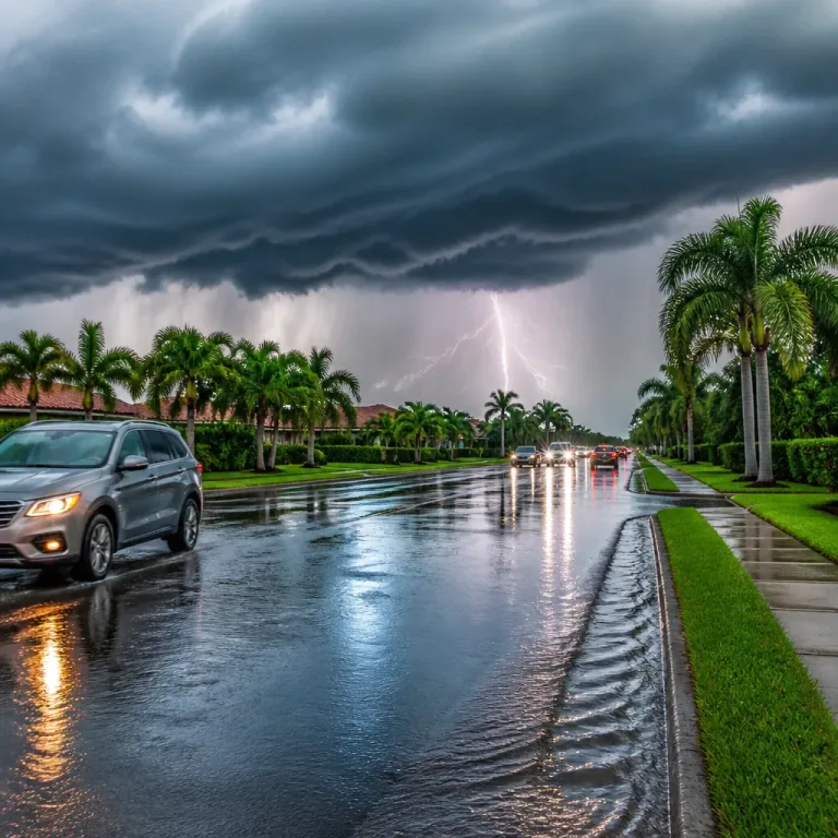
The National Weather Service has confirmed an eighth tornado from severe storms that swept parts of upstate New York on Wednesday, as forecasters expect a quieter and cooler Labour Day weekend for the region.
What happened — and what to expect
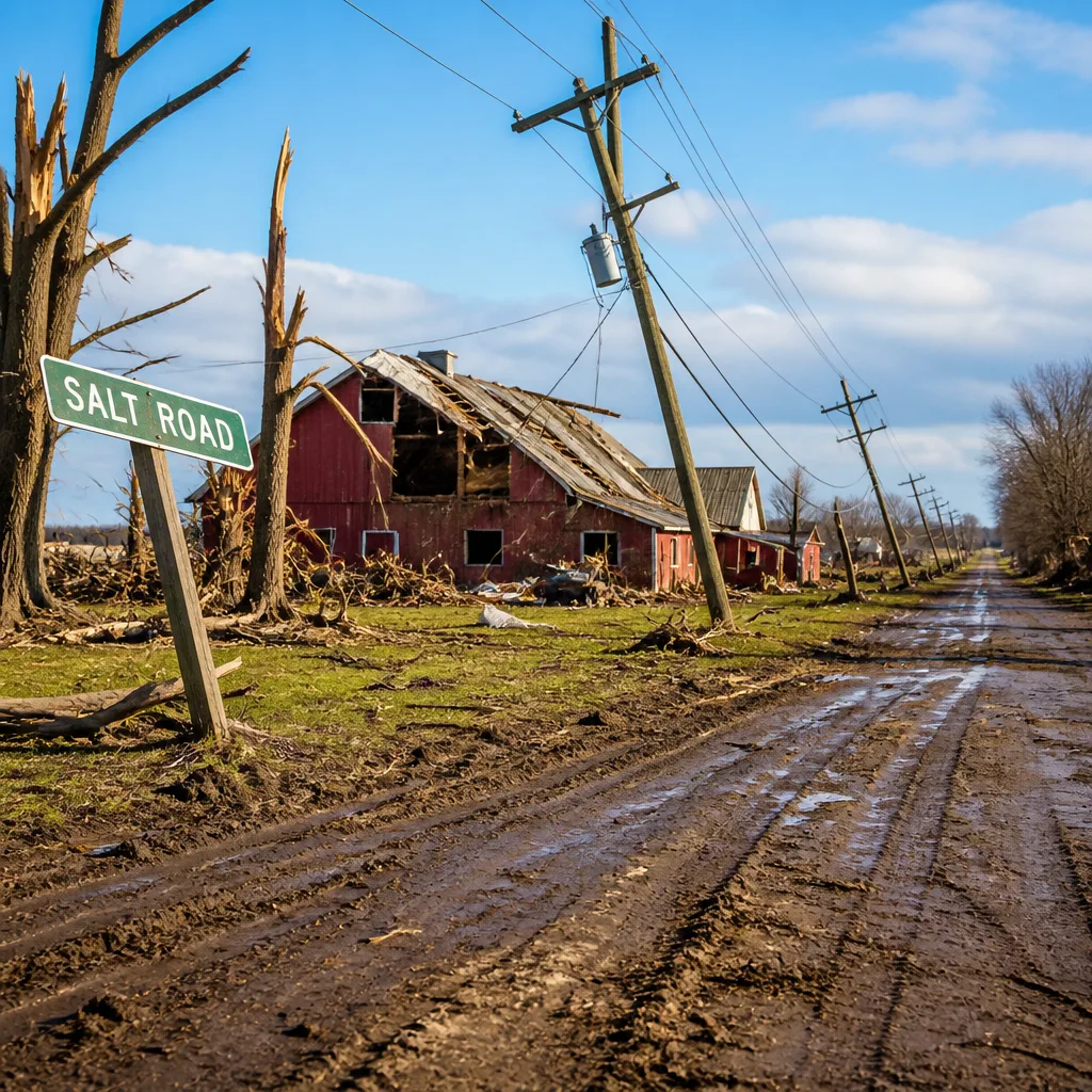
Officials said the latest tornado began near Salt Road in Webster and ended near North Lincoln Road in Ontario. It was assessed as an EF1 event, with peak winds of 105 mph, and was on the ground for a little over 3 miles. The confirmation brings the total number of tornadoes associated with the system to eight.
These tornadoes affected a cluster of counties across western New York, with reports spanning Niagara, Orleans, Genesee, Wyoming, Livingston, Monroe and Wayne counties. The sequence of tornadoes was described by local forecasters as a rare and notable outbreak for the area.
Short-term outlook: quieter, but cooler
After the active midweek weather, forecasters anticipate a transition to much calmer conditions. A pulse of cooler air arriving late on Saturday is expected to produce some lake-enhanced cloudiness and the possibility of a brief shower or two overnight into early Sunday morning. Drier air should then dominate, allowing skies to clear and sunshine to return.
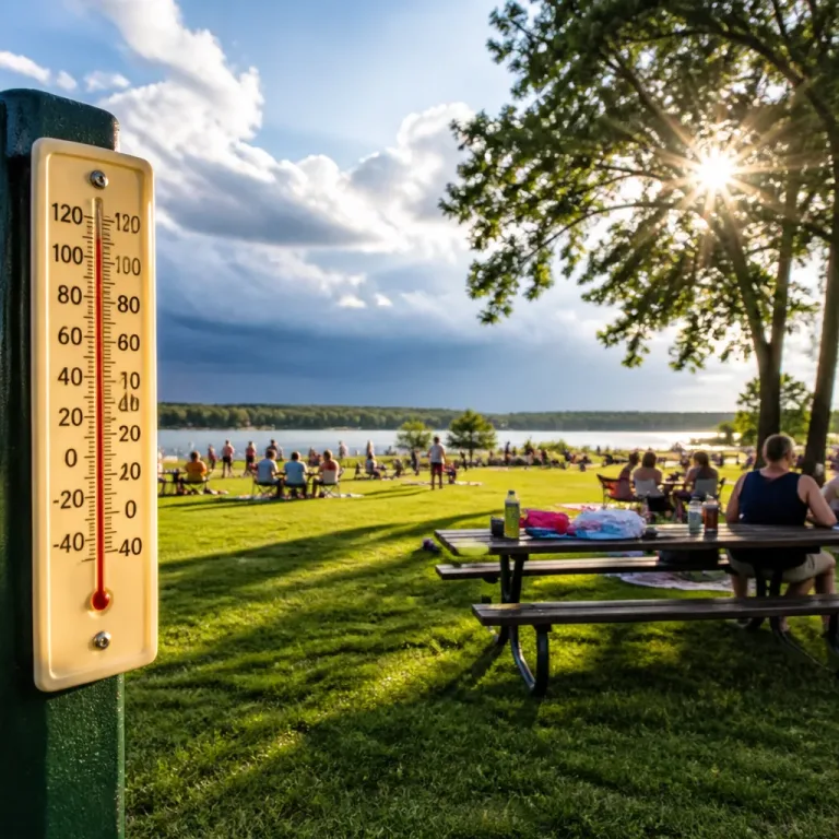
Temperature guidance issued for the immediate holiday period indicates largely comfortable readings, driven by the cooler airmass and dry conditions:
- Sunday: mostly sunny; highs around the lower 70s (°F).
- Monday (Labour Day): cool start with morning lows in the lower 50s away from the lakes and upper 40s in parts of the Finger Lakes; afternoon highs rebounding to the mid 70s.
- Tuesday: seasonably mild and dry.
- Wednesday: next chance of rain as a wave of low pressure moves through, followed by another push of more autumn-like air late in the week.
| Day | Expectation | Temperatures |
|---|---|---|
| Sunday | Mostly sunny after morning clouds; brief showers possible early | Highs low 70s (°F) |
| Monday | Cool morning then sunny and pleasant | Morning lows upper 40s–low 50s; highs mid 70s |
| Tuesday | Dry and mild | Seasonable, mild |
| Wednesday | Chance of rain with low pressure; cooler air follows late week | Turning more autumnal by Thursday/Friday |
Practical advice and preparedness
While the immediate threat of additional tornadoes from this particular system has passed, the event is a reminder that severe weather can occur far from areas typically associated with frequent tornadoes. Residents in affected counties should consider the following:
- Check local National Weather Service products and public safety messages for any ongoing recovery notices or damage assessments.
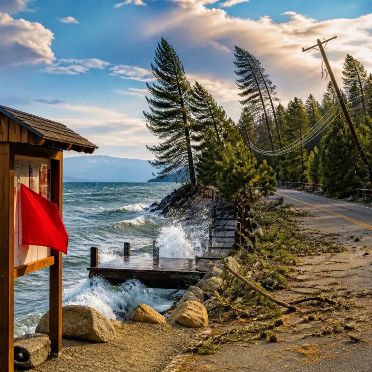
- Inspect homes and property for wind or debris damage and report hazards—downed power lines or unstable structures— to local authorities.
- For the holiday weekend, keep an eye on forecasts if you plan to travel or spend time outdoors, as lake-enhanced clouds can cause localised showers in the overnight/early-morning window.
Forecast confidence is moderate for the broad pattern of cooler, drier weather through Tuesday, with increasing uncertainty by midweek when the next low-pressure system approaches. Forecasters note that timing and intensity of the Wednesday system will determine how quickly conditions turn more autumn-like late in the week.
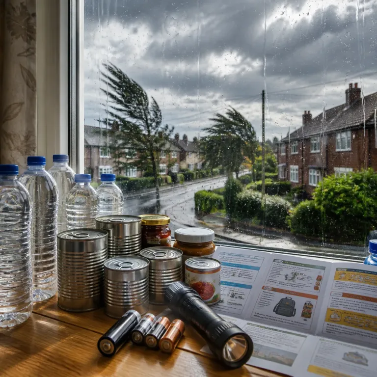
This episode underlines the value of staying weather-aware even in regions where severe convective storms are relatively uncommon. Simple preparedness—having a plan, maintaining access to official advisories and securing loose outdoor items—remains the best defence against damage and disruption.
We will continue to monitor official updates from the National Weather Service and regional forecasters and will report any significant changes to the outlook for the coming week.