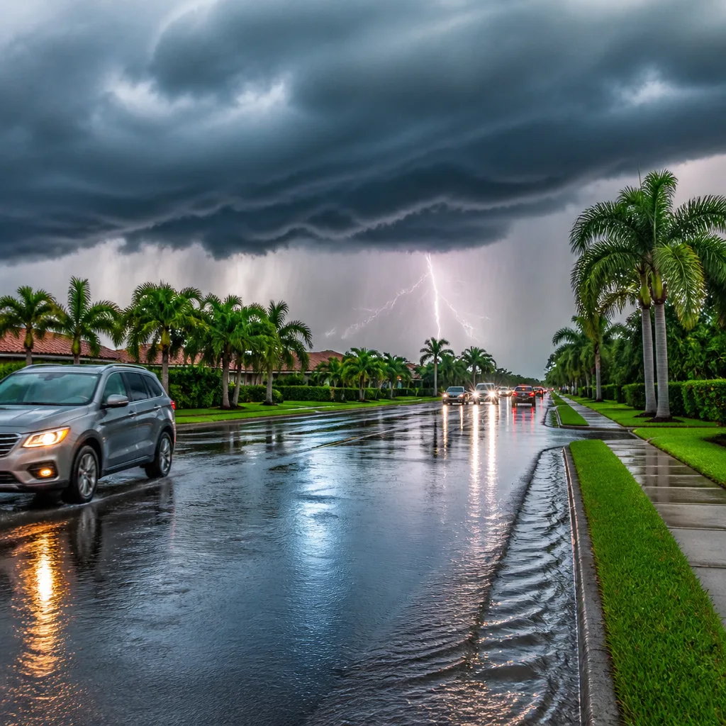
Around a 70% chance of scattered downpours and thunderstorms is forecast for Central Florida this afternoon and evening, with the main band of heavier activity expected between about 13:00 and 21:00.
What to expect this afternoon and evening
Showers are already possible near the coast this morning, but meteorologists expect the most organised and persistent downpours to arrive by midday and continue into the evening. The storms are likely to be slow moving, which raises the risk of intense local rainfall where cells train over the same location.
| Key window | Expected rainfall | Other hazards |
|---|---|---|
| 13:00–21:00 | Average 1–2 inches (≈25–50 mm); isolated amounts could exceed 3–4 inches (≈75–100+ mm) | Frequent lightning, gusty winds, potential delays to outdoor events |
Where storms remain slow or align in a training pattern, neighbourhoods could see rapid accumulations well above the average. That increases the risk of surface flooding on roads and in low‑lying areas.
Temperatures and humidity
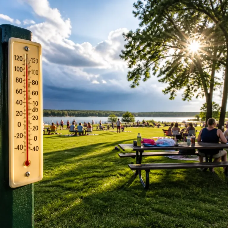
Daytime temperatures will be slightly above seasonal norms. Inland areas are forecast to reach about 90–93°F (≈32–34°C), while coastal beaches should peak nearer 87–90°F (≈31–32°C). With high humidity, heat indices could push values into the low 100s Fahrenheit — roughly 103–106°F (≈39–41°C) — leaving conditions uncomfortably muggy.
Timing and practical advice
If you have outdoor plans this afternoon or evening — particularly high‑school football games and other evening events — be prepared for interruptions. Lightning and heavy downpours could cause delays or postponements.
- Move indoors if you hear thunder; lightning can strike from storms several miles away.
- Allow extra travel time and be cautious of standing water and flooded roads.
- Keep an eye on local weather warnings and any advisories from event organisers.
“The National Hurricane Center expects no tropical cyclone development across the Atlantic, Caribbean, or Gulf over the next 7 days.”
Wider seasonal context
Friday falls just after the climatological peak of the Atlantic hurricane season (9–11 September). Despite the local thunderstorm threat, the wider Atlantic basin currently shows little organised tropical activity. Forecasters cite extensive Saharan dust and areas of strong wind shear that are inhibiting tropical development at present.
That picture could change with time — tropical systems can develop rapidly when conditions relax — but for the coming week the National Hurricane Center does not anticipate tropical cyclone formation in the Atlantic, Gulf or Caribbean.
Forecast confidence and follow‑up
Confidence is moderate for the timing and the overall likelihood of storms this afternoon and evening, but lower for the precise placement of the heaviest cells. Slow storm motion is the key uncertainty: if storms align and train, some neighbourhoods will receive significantly higher rainfall than the forecast average.
Monitor local forecasts and advisories through the evening. Emergency services and storm teams are likely to issue updates if severe lightning, flash flooding or damaging gusts are observed.
Summary table of immediate impacts:
| Impact | Likelihood |
|---|---|
| Frequent lightning | High |
| Heavy rainfall (1–2 in typical) | High |
| Isolated very heavy totals (3–4+ in) | Moderate — dependent on training storms |
| Delays to outdoor events | Moderate–High |
Keep devices charged, have a safe indoor shelter identified, and avoid driving through standing water. Local media and weather teams will provide any severe watch or warning updates through the afternoon and evening.