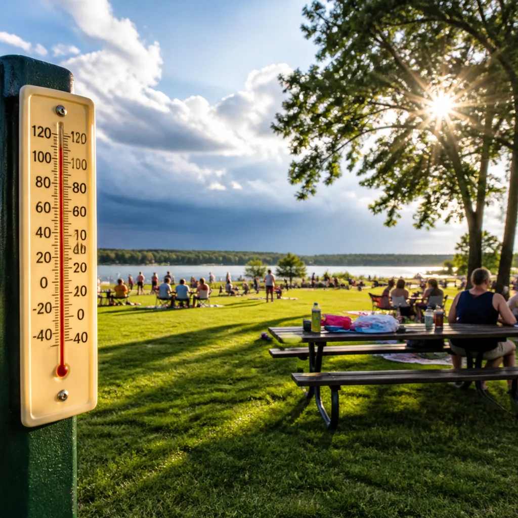
Sunny, comfortable conditions are expected across much of Indiana on Monday as many people make the most of the Labour Day holiday. Daytime temperatures should reach the lower 80s Fahrenheit while humidity remains modest, making for generally pleasant outdoor conditions.
What to expect tonight and Tuesday
Skies will be mainly clear overnight and residents can expect mild conditions, with low temperatures settling into the mid-60s. The calm night will be short-lived: a warm front pushing in from the south will turn winds more southwesterly and begin to increase humidity during Tuesday.
Temperatures will respond to that change. By Tuesday afternoon forecast highs are set to climb into the upper 80s to around 90°F, which is a noticeable step up from today. Night-time lows Tuesday are expected to be warmer too, generally in the upper 60s to around 70°F.
Midweek: frontal boundary and storm risk
The main forecast uncertainty and hazard this week centres on a frontal boundary approaching from the west. Forecasters are monitoring the boundary for development of showers and thunderstorms mainly late Wednesday afternoon and into the evening.
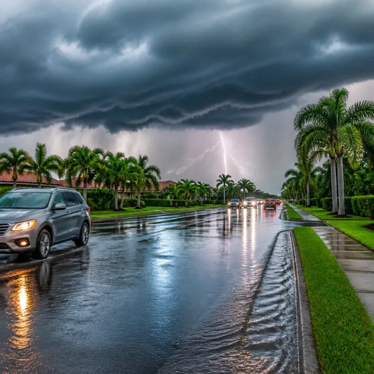
National and regional briefings have identified a level risk of severe weather for much of the state on Wednesday. That indicates a heightened probability of organised storms capable of producing damaging winds, hail or torrential rainfall in some locations. Rain and thunder are expected to taper overnight as the front moves through.
Practical steps to take now:
- Keep an eye on short-term forecasts and any severe weather warnings issued by the local National Weather Service or Met Office equivalents; details may change as the frontal timing becomes clearer.
- Have a simple plan for sudden heavy rain or strong winds — secure outdoor items, and avoid travel through flooded roads.
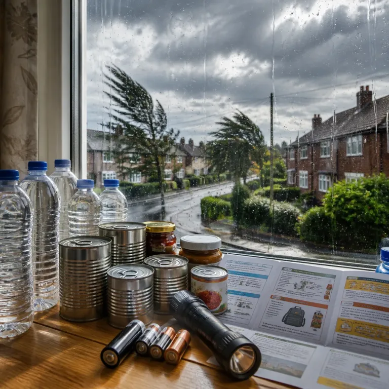
- Charge mobile phones and ensure a battery-operated radio or reliable app is available to receive alerts if power or mobile networks are affected.
Rest of the week and weekend outlook
Following the frontal passage, the immediate risk of organised storms should decline, though scattered showers and a few storms are possible on Thursday, particularly across southern counties during the afternoon. Beyond that, the forecast trend is toward drier conditions for the weekend.
Event organisers and sports fans can take some comfort from the outlook: barring isolated activity, conditions look largely favourable for evening high school football on Friday, college fixtures on Saturday and the NFL season opener on Sunday — though those planning travel later in the week should remain alert to any Wednesday warnings.
| Day | Forecast | Temperatures (°F) |
|---|---|---|
| Monday (Labour Day) | Sunny, pleasant | High: lower 80s · Low: mid 60s |
| Tuesday | Mostly sunny, warmer | High: upper 80s–around 90 · Low: upper 60s–around 70 |
| Wednesday | Front brings showers & storms, severe risk late | Variable |
| Thursday | Isolated morning showers; scattered afternoon storms south | Variable |
| Friday–Sunday | Mostly dry with a stray shower possible Saturday | Generally warm |
The forecast confidence is moderate. Timing and severity of Wednesday's storms remain subject to change as models and observations update. The key driver is the interaction between the incoming frontal boundary and the warm, increasingly humid air mass over the region; slight shifts in that interaction could substantially alter where severe weather is most likely.
Stay informed through official weather warnings and local broadcasters in the 24–48 hours before the frontal arrival. Preparedness now will reduce disruption if a line of severe storms does occur.