Remote-sensing study identifies large swathes of degraded land across the state
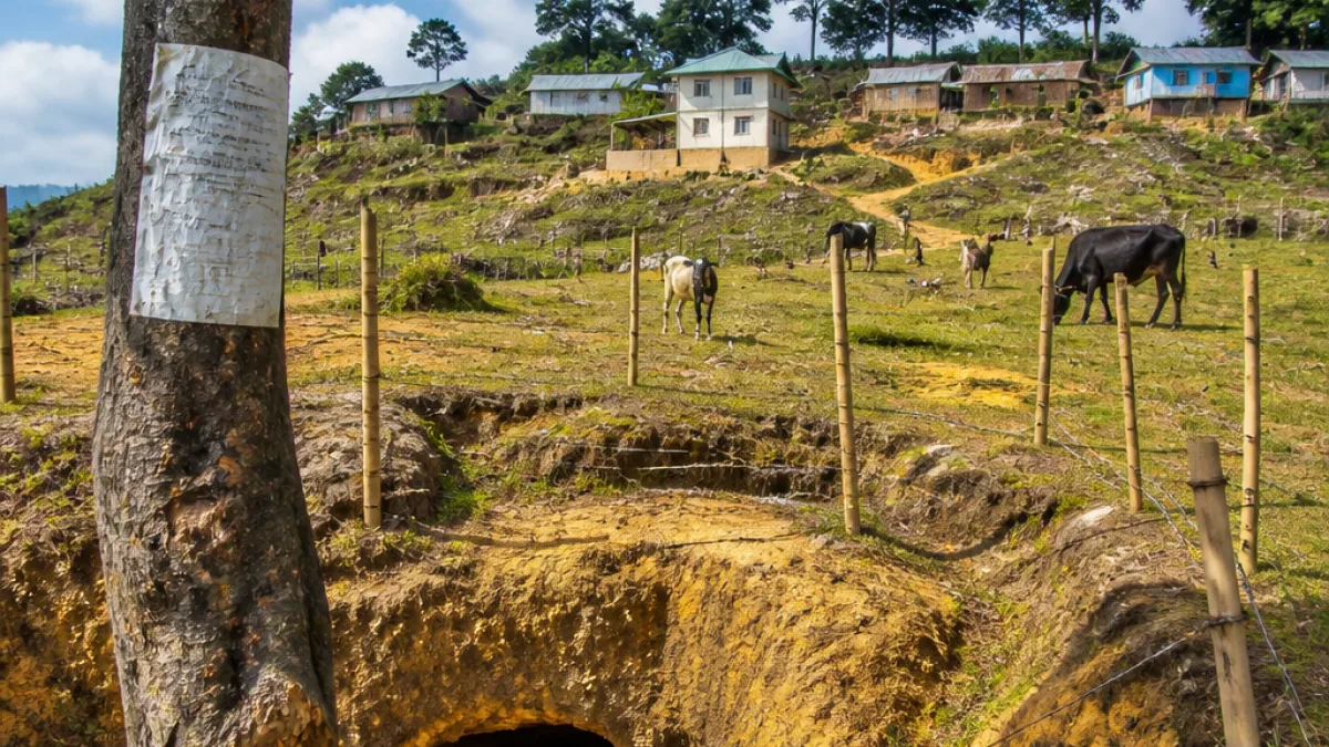
A recent geospatial study has identified 3,40,673 hectares of land in Meghalaya as cultivable wasteland — roughly 15.2% of the state’s geographical area — raising options for agricultural expansion alongside calls for careful assessment before conversion.
The mapping exercise was carried out by researchers from the North-Eastern Hill University (NEHU), Tura, and the North Eastern Space Applications Centre (NESAC), Umiam. Their paper, titled Identification of Cultivable Wastelands in Meghalaya, India Using Geospatial Technology for Agricultural Reclamation, was published in the Journal of Geography, Environment and Earth Science International and is based on satellite imagery from 2025–26 processed through remote sensing and Geographic Information System (GIS) techniques.
According to the study, the identified wastelands were classified into four land-cover categories. The distribution shows a predominance of degraded scrubland, which the authors say represents the most immediate potential resource for reclamation efforts, subject to further field verification and environmental assessment.
| Category | Area (hectares) | Share of mapped wasteland (%) |
|---|---|---|
| Sparse scrubland | 2,06,595 | 60.64 |
| Dense scrubland | 99,489 | 29.20 |
| Shifting cultivation areas | 34,331 | 10.07 |
| Grasslands / grazing lands | 258 | 0.08 |
| Total | 3,40,673 | 100 |
The two scrubland classes — sparse and dense — together constitute nearly 90% of the mapped cultivable wasteland. The researchers prioritised sparse scrubland for reclamation, followed by dense scrub, while noting that other categories such as shifting cultivation pockets and grasslands require distinct consideration.
Researchers urge field checks and nuanced planning before conversion
While the mapping provides a spatial inventory that could guide planners, the authors caution against treating the mapped parcels as land that is immediately fit for cropping. They emphasise the need for ground-truthing — on-site surveys to verify soil quality, slope, hydrology and biodiversity value — before any reclamation or conversion is attempted.
Experts involved in the study argue that simple, blanket conversion of scrubland to farmland risks unintended environmental and social consequences. Factors such as erosion susceptibility on steep slopes, downstream hydrological impacts, existing common-property uses and the livelihoods of communities that depend on grazing or non-timber forest products must be assessed.
- Mapping was performed using satellite imagery from 2025–26 and GIS analysis.
- Sparse scrubland is the largest single category identified, with 2,06,595 hectares.
- Researchers recommend prioritised, site-specific reclamation after field verification.
The study’s inventory could inform state-level agricultural and land-management planning by signalling areas where degraded land might be restored for productive use without expanding pressure on existing cultivated tracts. It also offers a baseline for monitoring reclamation efforts and designing interventions such as soil conservation, agroforestry or pasture improvement tailored to local conditions.
Meghalaya’s terrain and customary land-holding patterns add complexity to reclamation strategies. Much land in the state is held under community or clan-based customary systems, and land-use change decisions often involve local institutions. The researchers did not propose a single reclamation model; instead, their classification is intended to focus further assessments on parcels with the best technical potential for reclamation.
The mapping will be of interest to multiple stakeholders including the state agriculture department, the Forest and Environment department, local governing bodies, NGOs working on sustainable livelihoods and soil and water conservation, as well as agencies planning investments in rural development.
As a next step the authors recommend integrating the geospatial inventory with field surveys to produce site-level reclamation plans that balance agricultural goals with soil and water protection and community needs. Such an approach, they argue, would help expand productive land without undermining the environmental services or customary rights that sustain many hill communities.