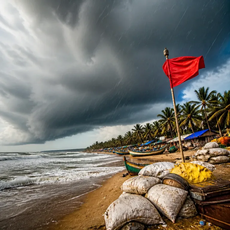
IMD alert: heavy to extremely heavy rain for Chhattisgarh
The India Meteorological Department (IMD) has forecast a fresh spell of widespread rain across Chhattisgarh on Friday, 14 August, cautioning that some areas may receive extremely heavy rainfall leading to localised flooding and waterlogging. The agency said isolated pockets in the State could record more than 20 cm of rain over a 24‑hour period.
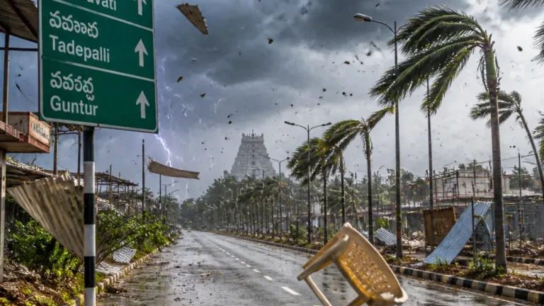
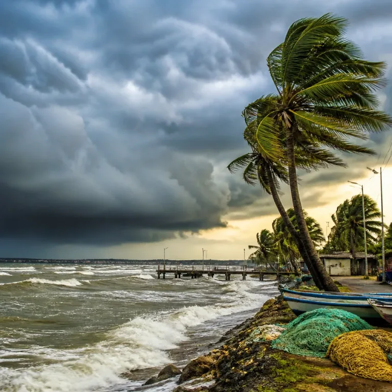
The forecast comes as a low‑pressure system/depression moves inland from coastal West Bengal and is expected to trigger very heavy to extremely heavy showers over parts of central and eastern India, the IMD said. Alongside the heavy rain, gusty winds are likely to accompany the downpours in affected districts.
Regions at risk and expected conditions
According to the IMD outlook collated for the region, the highest intensity of rainfall is expected over Chhattisgarh, with very heavy rain also likely in neighbouring Odisha and Jharkhand. The agency has additionally flagged the Gangetic West Bengal region for widespread heavy rain and gusts.
| Region | Expected intensity (24‑hour) | Notes |
|---|---|---|
| Chhattisgarh | Very heavy to extremely heavy (isolated >20 cm) | Highest risk of flooding and waterlogging |
| Odisha, Jharkhand | Very heavy | Localised disruption possible |
| Gangetic West Bengal | Very heavy; gusts up to 60 kmph possible | Wind and rain to affect low‑lying areas |
Broader national picture the IMD outlined
- Parts of the Konkan‑Goa belt, including Mumbai, are likely to receive widespread rain with heavy spells.
- Delhi is expected to remain largely cloudy and see light showers in some areas, with temperatures between 26°C and 35°C.
- Very heavy rain is forecast over sub‑Himalayan West Bengal and Sikkim; heavy showers are likely in Punjab, Haryana, Uttar Pradesh and eastern Rajasthan.
- Widespread rainfall is expected across the Northeast, while parts of southern India may experience localized strong winds and thunderstorms.
Local impact and likely disruptions
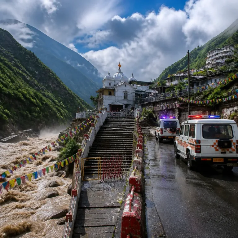
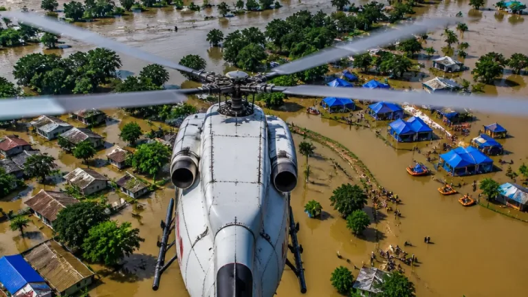
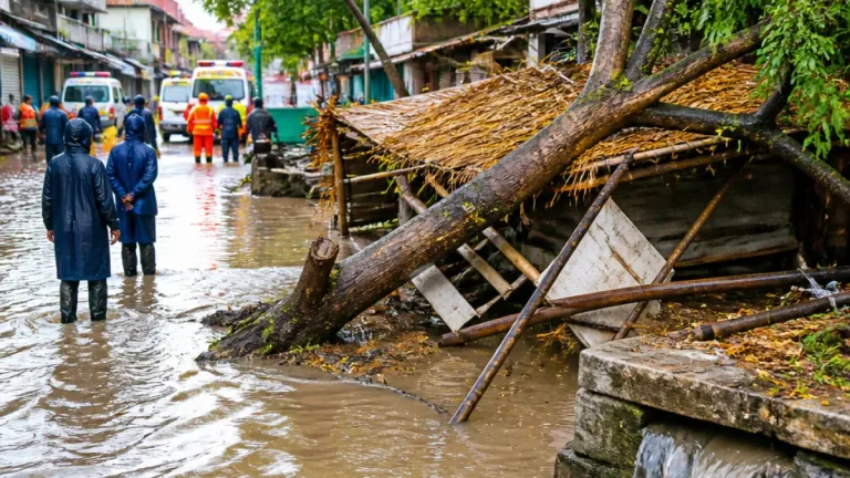
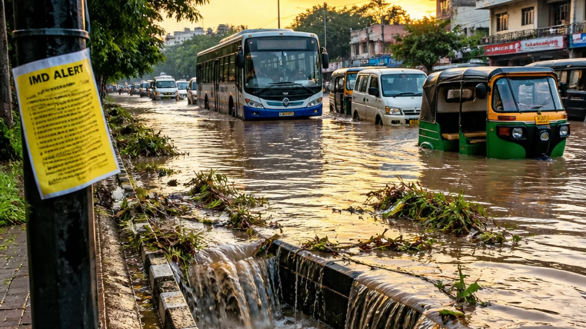
When the IMD warns of isolated falls exceeding 20 cm, the most immediate concerns for the State are flash flooding, overflowing drains and short‑duration urban waterlogging. Rural roads and low‑lying agricultural land may be inundated quickly. The combination of heavy rain and strong winds can also bring down trees and disrupt power lines in exposed locations.
Transport services — road, rail and local bus networks — often face delays during such spells. Motorists should be prepared for reduced visibility and slippery surfaces, while pedestrians should avoid walking through moving water or trying to cross flooded stretches.
Practical precautions for residents
- Keep mobile phones charged and maintain contact with neighbours and family members, especially elderly or vulnerable persons.
- Avoid non‑essential travel during peak showers; do not attempt to drive through flooded roads.
- Move valuables and electricity‑dependent medical devices to higher ground if your home is in a low‑lying area.
- Secure loose outdoor objects that could be blown by gusty winds; stay away from tree lines and unsecured hoardings.
- Follow local administration advisories on evacuation or sheltering if issued; keep emergency numbers handy.
Local authorities and district disaster management teams are likely to monitor river levels and urban drainage systems closely over the next 24–48 hours. Residents should keep an ear on official bulletins from the State government, district collectors and the IMD for updates and any travel advisories.
Weather brief: what to expect in the next 48 hours
The IMD’s short‑range guidance indicates that the wet spell will persist across the Himalayan belt, with very heavy falls forecast over Himachal Pradesh and Uttarakhand and heavy showers elsewhere in the mountain states. Coastal and southern regions will see scattered thunderstorms and strong winds in places.
For Chhattisgarh, the immediate 24‑hour window around Friday, 14 August is the period of maximum concern. Residents and local agencies should treat the IMD alert as a signal to complete last‑minute precautions and be ready for rapid weather changes.
We will update further as local district bulletins and the IMD release any revised warnings or situation reports.