
Shimla: Himachal Pradesh has identified 67 vulnerable glacial lakes in its high-altitude regions and is working to install early warning systems for four of the most critical lakes located in Kinnaur and Lahaul-Spiti, officials said on Saturday.
Monitoring and technology gaps
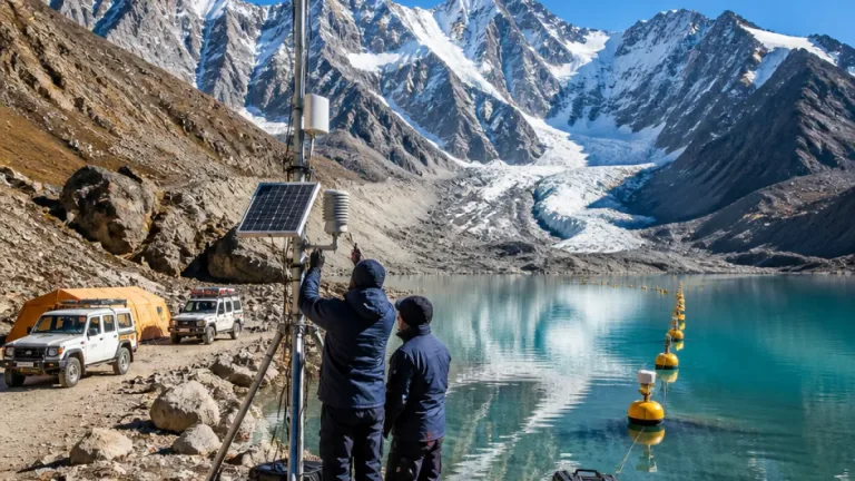
Pushpinder Rana, Special Secretary (Disaster Management), said the state is analysing the identified lakes — all above 10 hectares in area — using satellite imagery and other scientific data to detect signs that could raise the risk of glacial lake outburst floods (GLOFs). The authorities are exploring technical options to deploy sensors and transmit real-time information from remote locations where conventional communication networks are absent.
"Number bada hai, chinta ka vishay toh hai hi (The figure is huge, it's a matter of concern)," Rana said, according to an official briefing in Shimla.
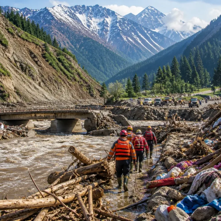
Glacial lake outburst floods occur when water stored in or around a glacial lake is suddenly released, producing a rapid surge of water downstream. Such events can trigger flash floods, damage infrastructure and threaten settlements along valley floors.
Why early warning matters in Himachal
Officials said recent Himalayan disasters have underlined that major incidents can evolve without the conventional warning signs such as heavy rainfall. In this context, continuous monitoring and timely alerts are considered essential for risk reduction in fragile mountain environments.
- Scope: 67 lakes identified across high-altitude parts of the state, all exceeding 10 hectares.
- Priority action: Early-warning systems planned for four of the most vulnerable lakes in Kinnaur and Lahaul-Spiti.
- Monitoring tools: Satellite imagery and other scientific datasets are being used for remote assessment; sensors and real-time telemetry are being examined for ground-level alerts.
Practical challenges cited
Rana highlighted two central challenges: the scale of the problem and the remoteness of many lakes. Several of the identified water bodies lie in areas without reliable mobile or wired communication, complicating efforts to transmit live data to disaster-management centres.
"Until we find an innovative way to move forward on this, we will not be able to take effective steps," the official said, signalling that technical feasibility and logistics remain under review.
Implications for communities and infrastructure
GLOFs can travel rapidly down steep Himalayan catchments and impact hydropower projects, roads, bridges and downstream habitations. While the state is yet to publish a district-wise list in this report, the focus on Kinnaur and Lahaul-Spiti reflects concern for watersheds that feed major river systems and host critical infrastructure.
| Detail | Reported figure / action |
|---|---|
| Vulnerable glacial lakes identified | 67 (each > 10 hectares) |
| Lakes chosen for early-warning systems | 4 (in Kinnaur and Lahaul-Spiti) |
| Primary monitoring methods | Satellite imagery, scientific datasets, proposed on-site sensors |
Next steps and expectations
The Disaster Management department is continuing analysis of satellite-derived and ancillary scientific data to assess evolving risks in the identified lakes. Technical solutions under consideration include sensor networks and telemetry systems capable of working from locations without standard communication infrastructure, although specific vendors, timelines and budgets were not disclosed.
Officials said that until concrete, field-tested technological options are identified and deployed, mitigation measures will be limited. The state centre for climate change will continue to assess the lakes and coordinate with disaster-management agencies to refine monitoring and response plans.
For residents and local authorities downstream of high-altitude lakes, the development underscores the need to strengthen local preparedness, evacuation planning and infrastructure resilience while technological systems are designed and tested.