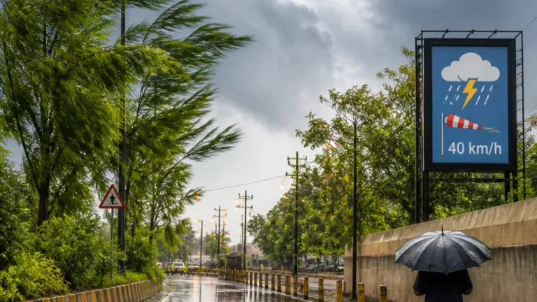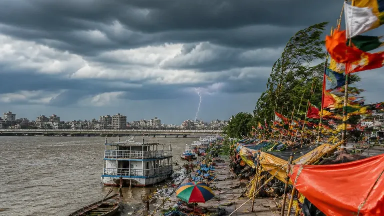
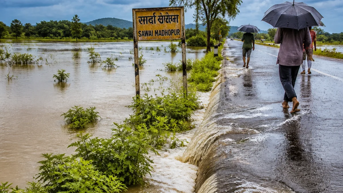
Jaipur — Parts of eastern Rajasthan experienced heavy to very heavy rainfall on Friday, with Khandar in Sawai Madhopur logging the highest 24-hour total of 130 mm, the Meteorological Centre in Jaipur reported. Light to moderate showers were recorded at several other locations across the region.
Where rain fell and what was recorded
During the 24-hour period ending Friday morning, the MeT office reported isolated heavy rainfall in districts across eastern and central Rajasthan. Besides Khandar, light to moderate precipitation was observed in parts of Alwar, Bharatpur, Deeg, Dausa, Dholpur, Jaipur, Sikar, Bhilwara, Ajmer, Karauli, Tonk, Baran, Kota and Jhalawar divisions. Western Rajasthan remained largely dry during the same period.
- Khandar (Sawai Madhopur): 130 mm — highest 24-hour total reported.
- Other districts — light to moderate rainfall recorded at isolated places.
- Western districts largely dry.
Meteorological drivers and short-term outlook
The MeT office attributed the enhanced rainfall activity to a well-marked low-pressure area located over northern Madhya Pradesh and southern Uttar Pradesh, together with the position of the monsoon trough. These systems are contributing to instability and the potential for concentrated downpours in eastern and southeastern parts of Rajasthan.
For Friday and Saturday, the meteorological department indicated that heavy to very heavy rainfall is likely at isolated places across eastern and southeastern districts. Moderate to intense rainfall was specifically forecast for parts of Bharatpur, Jaipur, Ajmer and Kota divisions, and the Shekhawati region on Friday, with isolated very heavy falls possible in the Kota division.
| Area/Division | Short-term expectation (Sep 4–6) |
|---|---|
| Eastern & Southeastern Rajasthan | Heavy to very heavy rainfall at isolated places (Fri–Sat) |
| Bharatpur, Jaipur, Ajmer, Kota divisions | Moderate to intense rainfall; isolated very heavy in Kota |
| Shekhawati region | Moderate to intense rain expected (Fri) |
| Western Rajasthan | Largely dry; isolated light showers in some pockets |
Trend for the coming week
The MeT office said rainfall activity is predicted to diminish from September 6–7, although light to moderate rain may persist in parts of Bharatpur, Jaipur and Kota divisions. A further decrease in widespread activity is expected from September 8, with most of Rajasthan likely to see reduced monsoon showers.
Implications for residents and administration
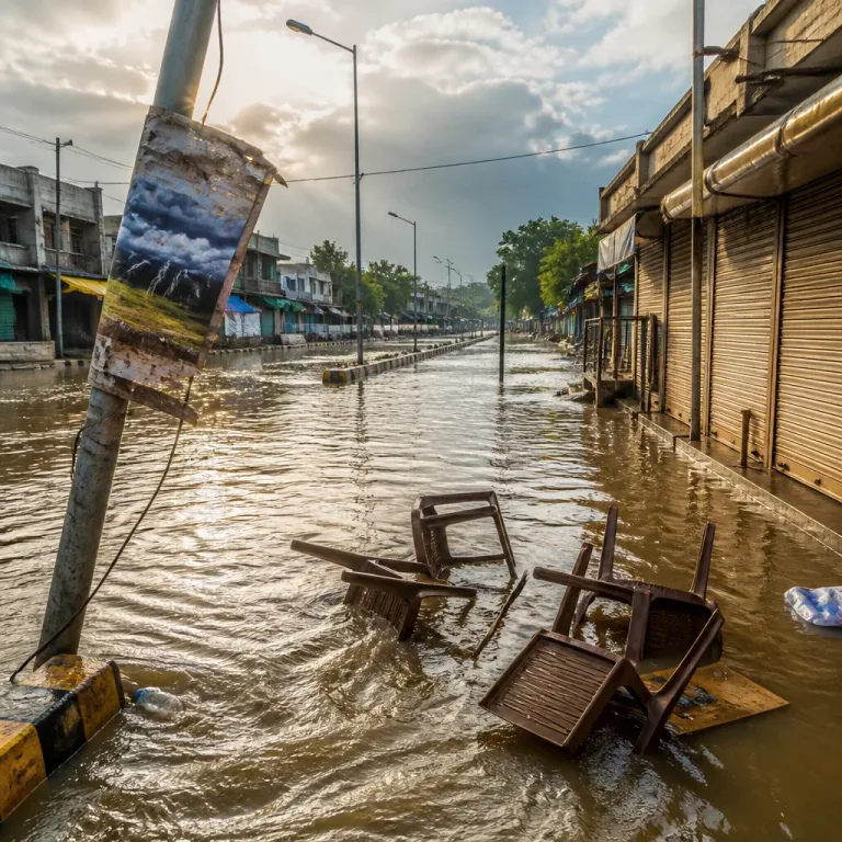
Local authorities in the affected eastern districts should remain vigilant for flooding in low-lying areas, waterlogging in urban localities and possible disruption to road transport where heavy downpours occur. Farmers in the catchment areas ought to monitor fields for waterlogging and take precautions to protect standing crops where feasible. Residents are advised to keep updated with district administration advisories and avoid crossing swollen streams or nullahs during and immediately after intense rain.
- Expect isolated heavy to very heavy rainfall through Saturday in eastern and southeastern Rajasthan.
- Rainfall intensity likely to ease from September 6–7, with further decline from September 8.
- Western Rajasthan to remain largely dry over the next few days.
The present weather pattern reflects the late-monsoon interaction of a low-pressure area with the monsoon trough, concentrating convective activity over eastern parts of the state. Travellers and local administrations are advised to follow weather updates from the Meteorological Centre, Jaipur, for any changes to the forecast and warnings.