New Delhi: A low-pressure area over the northwest and adjoining west-central Bay of Bengal is set to influence weather across large parts of the country, the India Meteorological Department (IMD) said on Saturday, bringing multiple spells of rain and the risk of thunderstorms to the national capital region and heavier showers to coastal Odisha and Andhra Pradesh.
Delhi-NCR and north India
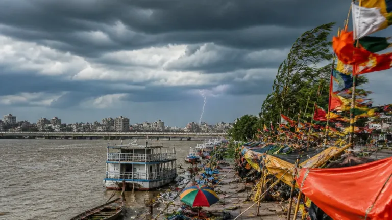
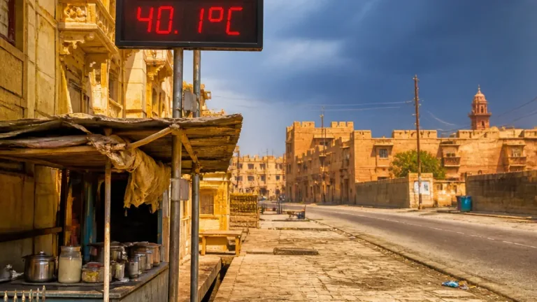
The IMD forecast that Delhi-NCR will remain mostly cloudy with light to very light rain at isolated locations on Saturday. A spell of rain is likely between afternoon and evening, accompanied by the possibility of thunderstorm and lightning. The agency placed the day maximum temperature at about 30°C–32°C and the minimum at 24°C–26°C.
Neighbouring Haryana and Chandigarh were also expected to receive isolated to scattered rainfall through September 17, with a chance of isolated heavy rain on Sunday and Monday, the IMD added. Other northern and central areas where rain was likely in some pockets included Punjab, Uttar Pradesh, Madhya Pradesh and Gujarat.
Odisha and Andhra Pradesh: stronger impact
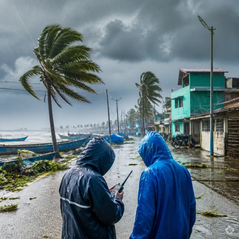
The IMD said the low-pressure area is likely to become more pronounced and move west-northwestwards across Odisha and Andhra Pradesh, producing light to moderate rain or thundershowers at many places in these states. The coast saw heavy showers, with reports of intense rainfall in Puri city.
For Coastal Andhra Pradesh and Yanam, the IMD warned of strong winds with sustained speeds of 50–60 kmph and gusts up to 70 kmph on September 12. A yellow warning—indicating potential for disturbance but not an immediate severe threat—was issued for the Baleshwar region.
Wider spread of rain
The weather system was also linked with rainfall chances in parts of Andhra Pradesh, Telangana, Karnataka and other southern districts. The IMD said heavier showers are possible over the next two to three days in several areas, although persistence and exact locations of heavy rain are subject to change as the system evolves.
| Area | Expected conditions | Notable figures |
|---|---|---|
| Delhi-NCR | Mostly cloudy; light to very light rain at isolated places; thunderstorm possible | Max 30°C–32°C; Min 24°C–26°C |
| Coastal Andhra & Yanam | Light to moderate rain; strong winds | Winds 50–60 kmph; gusts up to 70 kmph |
| Baleshwar (Odisha) | Yellow warning issued | Heavy rain likely in short periods |
- Who should take precautions: people in coastal Andhra, Yanam and parts of Odisha where strong winds and heavy showers are expected.
- Immediate actions: secure loose outdoor items, avoid venturing into rough seas or low-lying flood-prone areas, and follow local authority advisories.
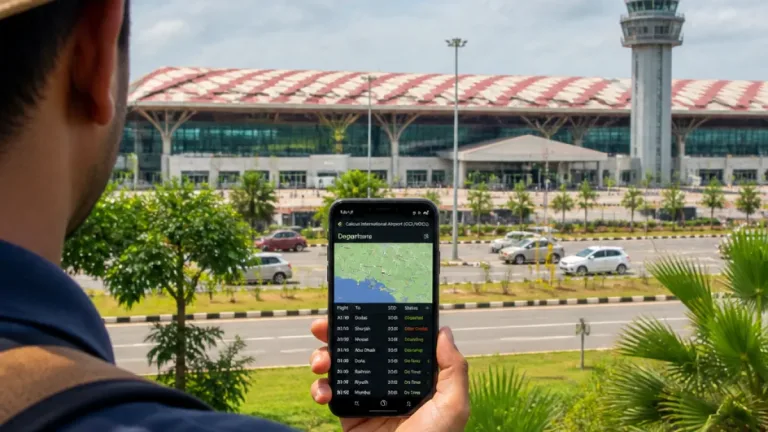
- For travellers and event organisers: expect intermittent disruptions — allow extra time for road travel and check flight or local event updates.
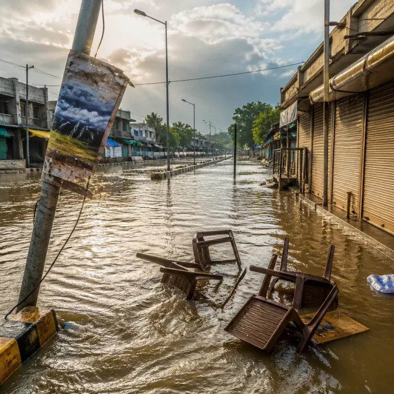
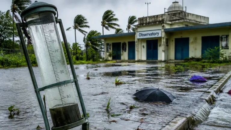
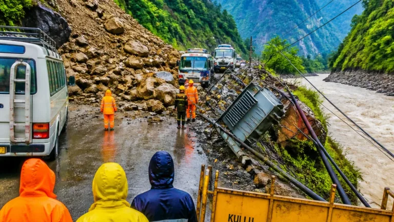
In addition to direct hazards from heavy rain and gusty winds, the IMD cautioned that the low-pressure area could cause localised flooding in susceptible districts if intense showers occur in short durations. The situation in flood-affected Bihar remains serious, with reports and images from Purnia underlining ongoing inundation; authorities in affected districts continue relief operations and monitoring.
Residents in the affected states are advised to keep abreast of updated forecasts from the IMD and heed warnings issued by district administrations. The IMD classifies advisories such as "yellow" as a watch for potential disruptive weather; this should prompt preparedness measures rather than immediate evacuation in most cases.
For those in areas expecting thunderstorms, the basic safety measures include staying indoors during lightning, avoiding standing under trees or near tall isolated structures, unplugging sensitive electrical appliances if lightning is expected, and keeping emergency contact numbers handy. Motorists are advised to drive cautiously on wet roads and maintain safe distances from other vehicles.
The IMD will continue to monitor the low-pressure area and issue further updates on intensity and track. Citizens should follow local weather bulletins and district-level advisories for the latest official guidance.