New Delhi: The India Meteorological Department has issued an alert as a low-pressure area that formed over the Bay of Bengal has tracked inland and is now expected to carry deep moisture into central and western India, triggering an active spell of monsoon rainfall across Gujarat, Maharashtra and neighbouring regions.
System position and movement
At 0830 IST on September 13, the IMD located the system over southwest Madhya Pradesh and adjoining north Vidarbha. The agency forecasts the system will move west-northwestwards, crossing parts of southeast Rajasthan and entering north Gujarat within the next 24 hours. The IMD described the origin of the circulation as a system that developed over the northwest and west-central Bay of Bengal, near the coasts of south Odisha and north Andhra Pradesh.
Where and how heavy the rain will be
The weather department has warned of widespread to fairly widespread rainfall over Gujarat, Saurashtra and Kutch during September 13–15. Specific expectations include:
- Isolated extremely heavy rainfall over parts of Gujarat on September 13.
- Very heavy rain across Gujarat on September 14.
- Very heavy showers over Saurashtra and Kutch on September 13 and 14.
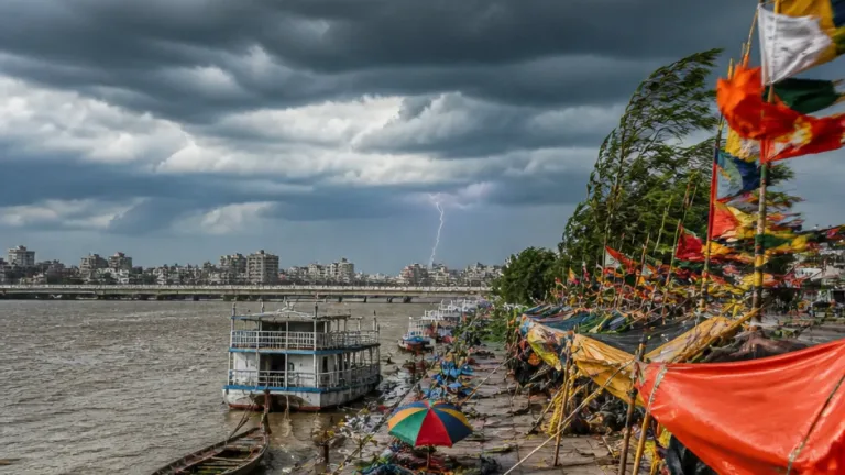
The IMD also flagged the likelihood of heavy to very heavy showers in parts of Maharashtra, and indicated thunderstorms, lightning and strong gusts accompanying the rain over central and western belts.
| Region | Expected intensity | Timing |
|---|---|---|
| Gujarat (including Saurashtra & Kutch) | Very heavy; isolated extremely heavy | 13–15 September (peak on 13–14) |
| Maharashtra (parts) | Heavy to very heavy | Ongoing through 13–14 September |
| Central / western India | Widespread rainfall, thunderstorms, gusty winds | Next 24–48 hours |
Hazards and precautions
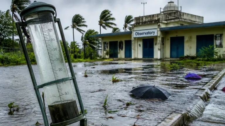
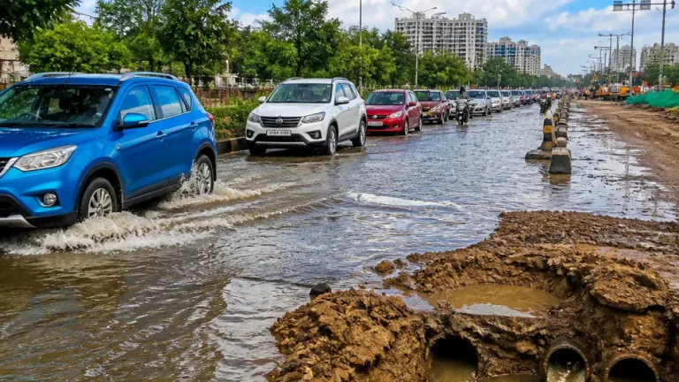
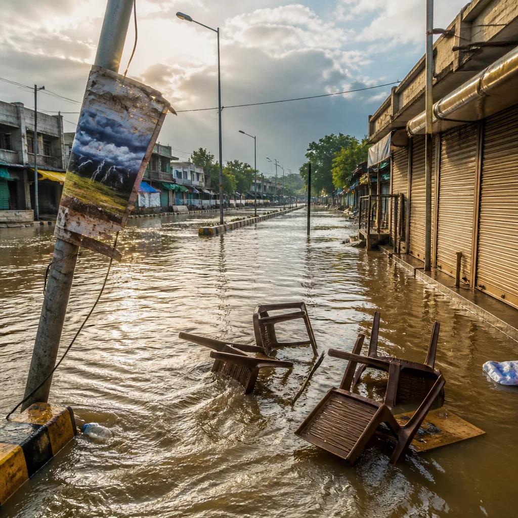
The IMD has cautioned that associated hazards will include thunderstorms, lightning and gusty winds, which may reach strong speeds in some locations. The combination of intense rain and gusts raises risks of localised inundation, urban flooding, waterlogging, surface run-off and disruption to road and rail movement.
Practical measures advised for the public and local authorities include:
- Keep updated with local IMD bulletins and state emergency advisories.
- Avoid non-essential travel during heavy spells; expect delays on roads and rail links.
- Secure loose outdoor items and take shelter during thunderstorms; stay away from tall isolated trees and open fields.
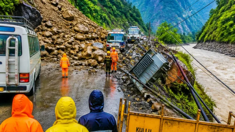
- Authorities should prepare drainage clearing, deploy local disaster response teams and be ready for swift rescue operations in low-lying areas.
Given the forecast of extremely heavy falls at isolated places in Gujarat on September 13, areas prone to flash flooding and riverine rise should be placed on higher alert. The IMD classifies this as an active monsoon episode rather than the monsoon withdrawal phase, meaning further heavy spells are possible while the system persists.
What this means for the monsoon
Forecasters note that although the southwest monsoon is entering its later period, low-pressure systems moving inland can still produce intense rainfall before withdrawal sets in. The present circulation is carrying moisture from the Bay of Bengal deep into the subcontinent, temporarily energising rainfall over central and western states.
Citizens in affected districts are advised to follow updates from the IMD and state disaster management authorities. In heavy storms, immediate action — seeking safe shelter, avoiding flooded roads, and not touching fallen electrical lines — can reduce harm.
Priya Venkatesan
Weather Desk Editor