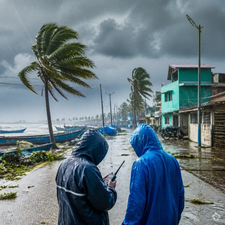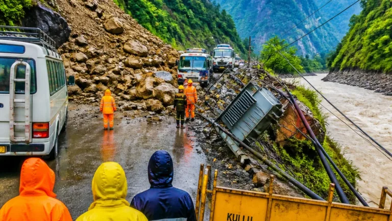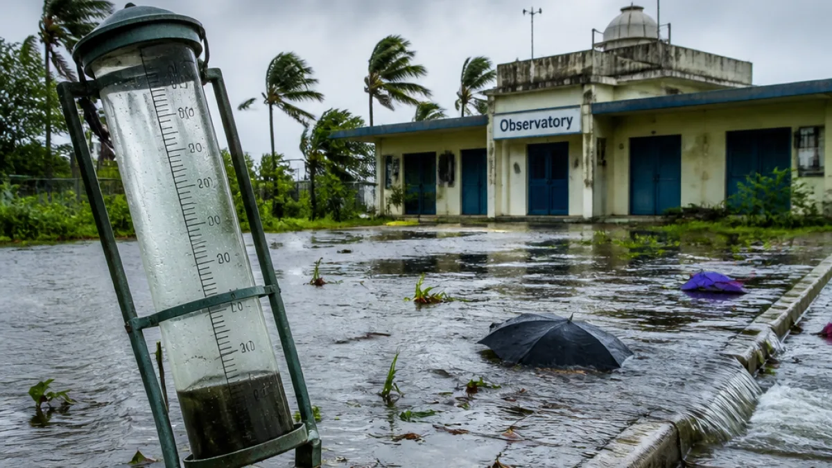
Bareilly recorded an unprecedented 24-hour rainfall of 381.1 mm till 8.30 am on Monday, the India Meteorological Department (IMD) said, marking the highest single-day precipitation measured at any observatory in the country during that period and surpassing the district’s previous 2005 record of 267 mm.
Scope of the rainfall and statewide context
The IMD report showed the exceptional downpour at the Bareilly observatory alongside a fresh all-time single-day record for neighbouring Shahjahanpur, which logged 227 mm. District-level summaries in the IMD release listed Bareilly district with 66 mm and Shahjahanpur with 58.6 mm in the 24-hour assessment that accompanies the observatory data.
The heavy rains have contributed to Uttar Pradesh moving into a surplus monsoon position since June 1, with the state receiving 645 mm against a long-period average of 641.4 mm — a 1% positive deviation. The IMD data show regional differences: West UP has recorded 654.1 mm against a normal of 592 mm (10% surplus), while East UP stands at 638.6 mm against a normal of 676.7 mm (6% deficient).
| Location | 24-hour rainfall (mm) |
|---|---|
| Bareilly (observatory) | 381.1 |
| Shahjahanpur (observatory) | 227.0 |
| Mahsi (Bahraich) | 175 |
| Muhammadi (Kheri) | 156 |
| Aliganj (Etah) | 135 |
| Chhibramau (Kannauj) | 110 |
| Bansi tehsil (Siddharth Nagar) | 102.2 |
Forecast and immediate concerns
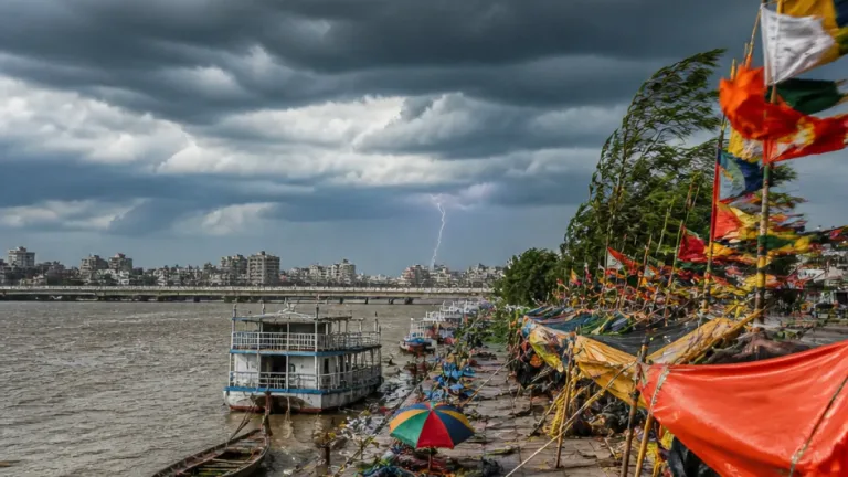
The IMD and regional meteorological officials linked the downpour to a low-pressure area centred over central Uttar Pradesh. The Regional Meteorological Centre in Lucknow warned that the system could trigger further intense rain for parts of the northern Terai and eastern Uttar Pradesh.
"Heavy to very heavy rainfall is likely at isolated places in the northern Terai region over the next 24 hours," said Atul Kumar Singh, senior scientist at the Regional Meteorological Centre, Lucknow.
The IMD issued an orange alert covering five districts in the region earlier in its advisory cycle and highlighted continuing risk of heavy to very heavy rain at isolated places in eastern UP over the following 48 hours. Officials added the spell is expected to weaken after this window, with a notable decline in rainfall activity across the state thereafter.
- Districts remain varied in monsoon status: 22 have deficient or large deficient rainfall, 36 are within normal range, and 17 have recorded excess or large excess rainfall so far this season, according to IMD data.
- Local authorities and disaster-management teams are likely to monitor rivers, drains and urban low-lying areas closely as heavy rain episodes can produce flash flooding and disrupt transport.
- Affected sectors include urban drainage, agriculture in low-lying tracts and road connectivity, particularly in Terai and adjacent districts.
Implications for Bareilly
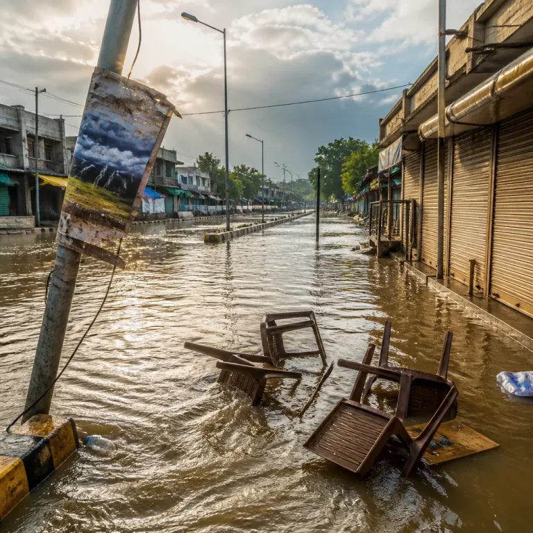
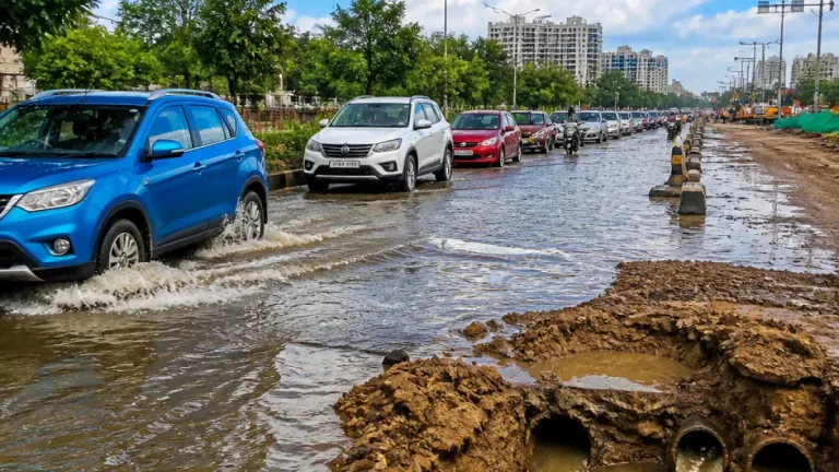
For Bareilly city and the surrounding district, a record 24-hour total raises immediate concerns over urban inundation, waterlogging on arterial and residential streets, and pressure on drains and pumps. The IMD figure provides a benchmark for municipal and district emergency planners to assess response needs and reprioritise pumping and relief work.
While the IMD forecast suggests the heaviest phase may be near-term and localised, authorities typically advise residents in low-lying zones to remain vigilant and limit non-essential travel during orange or red alerts. Further official advisories from district administration, power and public-works departments are expected should the system track as forecast.
The rainfall numbers underline the uneven character of this monsoon in Uttar Pradesh: surplus rain in western parts of the state has not uniformly translated into adequate precipitation across eastern districts, which remain short of long-period averages. The regional pattern will be crucial for agricultural planning and reservoir management in the months ahead.
The IMD will continue to monitor the low-pressure area and update warnings as necessary. District-level agencies in Bareilly and neighbouring areas have been placed on alert to respond to any emergent flooding or infrastructure damage.