
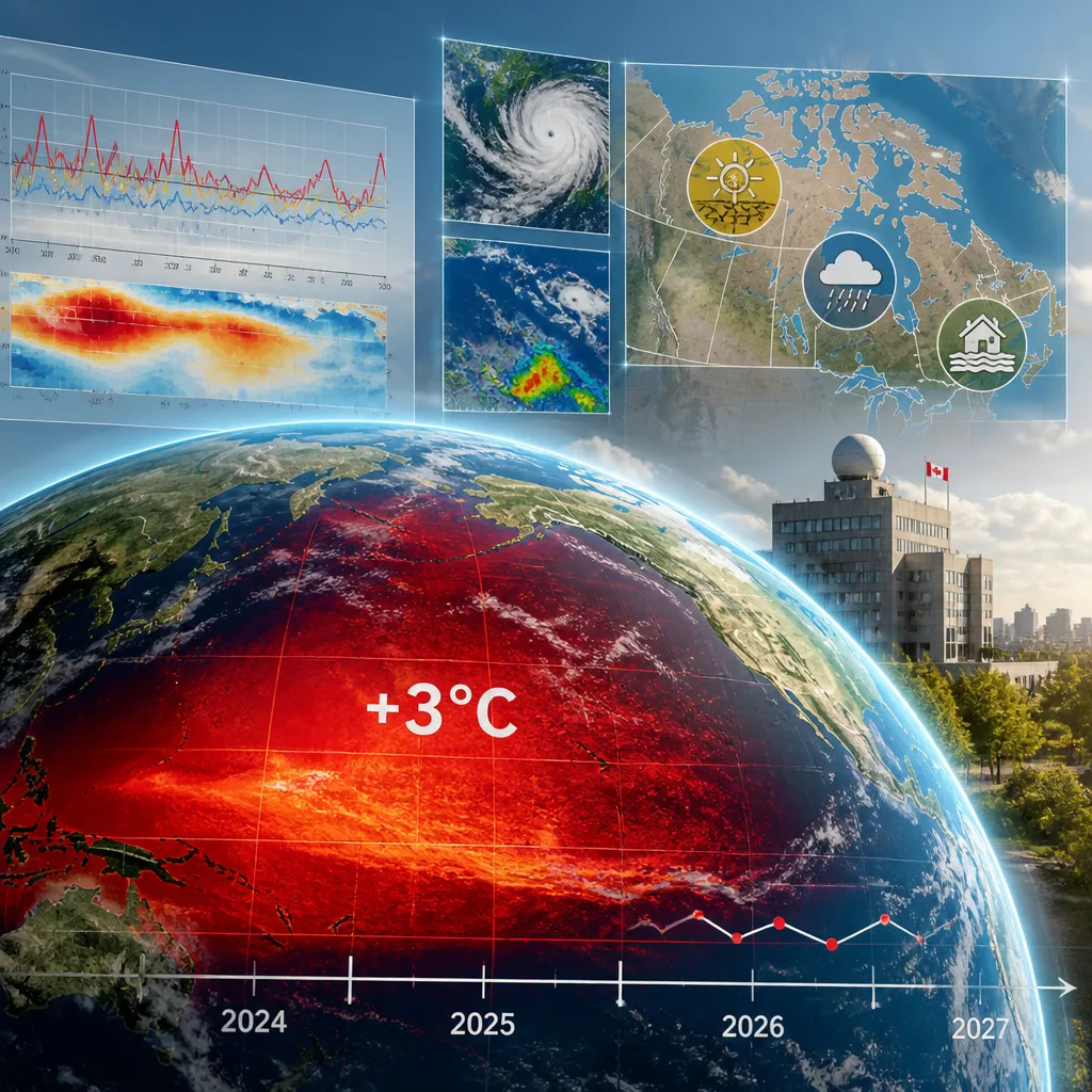
Britain’s national weather service says the current El Niño has the potential to be the largest in over a century, with sea surface temperatures in the tropical Pacific projected to rise well above historical norms and to influence global weather patterns into 2027.
What the Met Office is forecasting
The Met Office said long‑range models indicate the Pacific will warm substantially this year, producing an anomaly that could exceed 3 °C above baseline values — a magnitude that, if realised, would exceed past modern records for El Niño strength. The agency warned that such an event would have widespread consequences for temperature and rainfall patterns worldwide.
“We are expecting the biggest El Nino for over a century, peaking at something over three degrees -- that is unheard of in modern climate records.”
The statement emphasises that El Niño is a naturally occurring ocean‑atmosphere phenomenon but that its impacts are amplified by the long‑term warming trend from human‑driven climate change. The Met Office cautioned that the combined effect could intensify heat and precipitation extremes in many regions.
How big is big?
Key figures from observational data and forecasts help put the situation in context:
| Indicator | Value |
|---|---|
| Current Pacific anomaly (approx.) | 2.6 °C |
| Forecast peak in some models | 3.9 °C |
| 2015 El Niño peak (for comparison) | ~3.0 °C |
Climate monitoring dashboards that aggregate observational records and model output show Pacific temperatures already running noticeably above the 30‑year baseline. Some forecasting ensembles project a peak that would surpass the 2015 event, which remains one of the strongest El Niños in the modern record.
Likely global and Canadian consequences
El Niño reorganises large‑scale wind, pressure and rainfall patterns across the tropics and into the mid latitudes. Historically, such events are linked to:
- warmer global average temperatures and an increased chance of record annual heat;
- drier conditions in southeast Asia, Australia and parts of southern Africa;
- wetter conditions in the Horn of Africa, parts of the southern United States and along the western coasts of South America.
For Canada, El Niño phases often influence the strength and position of the jet stream, which can alter winter precipitation and temperature patterns across the country. Typical signals include milder than average winters in parts of western Canada and southern Ontario, but exact impacts depend on the event’s strength, timing and interactions with other climate drivers.
Meteorologists note that an unusually strong El Niño could magnify established teleconnections, but regional outcomes remain uncertain. Seasonal forecasts will continue to be updated as models evolve through the autumn and early winter.
Context and caution
Scientists emphasise that El Niño is part of a natural oscillation; however, they also underscore that the background warming of the climate system increases the stakes. A record‑scale El Niño would add to the cumulative stresses of a warming world, potentially pushing heat and precipitation extremes beyond previous thresholds in some regions.
Forecast agencies and climate services will continue to monitor ocean heat content, atmospheric responses and model projections. Canadian emergency managers, public health officials and infrastructure planners typically watch such long‑range signals closely to refine seasonal preparedness for wildfire risk, flooding, heat events and impacts on agriculture.
Updates from national meteorological services and international climate monitoring platforms are expected in the coming weeks as more observational data are assimilated and model agreement improves. Seasonal outlooks for Canada will be adjusted accordingly to reflect the evolving strength and timing of the El Niño signal.










