Whitehorse city planning and residents were given a fresh technical challenge to evidence presented at the Aug. 24 public hearing on proposed bylaw 2026‑25 when a geologist with direct experience in the Whitehorse Copper Belt submitted comments disputing key claims made at that session.
Three factual points raised
The geologist, who coordinated the 1998 mineral assessment of the City of Whitehorse for the territorial government, told the Yukon News that three important facts were not addressed during the hearing. Those items touch on mapping, the Official Community Plan and terminology used in testimony — each of which could shape how council and the public understand the bylaw's effects.
- Redesignation requests and mapping: The submission notes that Gladiator has requested redesignation of three parcels that are fully permitted through the Yukon Environmental and Socio-economic Assessment Board (YESAB). The geologist says these parcels include areas city administrators already agree were incorrectly mapped in the Official Community Plan (OCP).
- Age of the OCP: The writer emphasises the current OCP is only about two years old and has already been amended, arguing it should not be treated as immutable.
- Use of ESA terminology: The letter says some of the environmental‑sensitivity terminology used in the hearing went uncorrected and that certain polygons in the mapping reflect areas that, according to city administration, do not meet the city's definition of an environmentally sensitive area (ESA).
“Field investigations of the specific work areas, in regions known as Arctic Chief, Gem and Little Chief (Map 4, 5 and 6), revealed these sites have been significantly impacted by previous mineral resource activities and / or clear‑cutting for fire protection. Based on field investigations, and in the opinion of Administration, these areas do not meet the intent of the ESA definition.” — from the Whitehorse 13‑June‑29 Committee‑package.
What the submission says — and what it means for Whitehorse
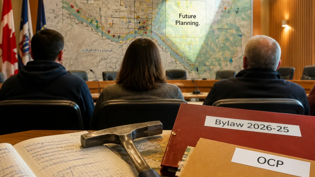
According to the geologist's letter, the redesignation requests were focused on parcels that overlap areas the city admits were incorrectly mapped. The city administration, after what the writer calls "ground truthing," proposed changing the designation of those areas to "Future Planning". The geologist suggests the amendment request does not target other ESAs that meet the city’s definition, implying the scope of the bylaw change may be narrower than some speakers at the hearing suggested.
The writer further argues that mineral exploration within city limits was permitted prior to the current OCP and has a long history in and around Whitehorse. By stressing the OCP's recent adoption — about two years old — the submission frames the plan as amendable and part of an ongoing planning process rather than a permanent settlement of land‑use policy.
Key details at a glance
| Issue | Point raised |
|---|---|
| Mapping / parcel redesignation | Gladiator requests concern three parcels; city administration agrees some areas were incorrectly mapped and proposes "Future Planning" |
| OCP age | Current OCP is about two years old and has already been amended |
| ESA definitions | Certain areas overlapped by the redesignation requests do not, after field investigation, meet the city’s ESA definition |
The geologist's submission emphasises that some of the polygon outlines in ESA mapping reflect overlaps where the city acknowledges inaccuracies, rather than a wholesale targeting of all environmentally sensitive areas. That distinction could affect how council members, affected landowners and the public weigh environmental concerns against economic or resource interests.
Next steps and local context
The bylaw under debate — 2026‑25 — remains before municipal decision‑makers, who will consider public hearing input, technical submissions and administration recommendations. The geologist’s intervention adds a technical lens to the record and may prompt councillors and city staff to revisit mapping details and the administrative rationale documented in committee packages.
For Whitehorse residents, the debate underscores a recurring tension in northern planning: balancing resource and exploration history with contemporary environmental protections and community land‑use priorities. The city’s willingness to revise mapping after ground truthing shows planners are working from evolving information, but it also raises questions about how clearly that information is communicated during public processes.
Council is expected to consider all submissions as it moves forward. In the meantime, the geologist’s note and the committee materials it cites will be part of the public record that Whitehorse residents and stakeholders can examine as the municipality shapes its land‑use framework.