Yellowknife — Leaders in the Northwest Territories and two Indigenous governments have agreed on a new proposed alignment for an all-season road to Nunavut, a project billed as an economic and security corridor that would link the N.W.T. highway system with Grays Bay Road and Port. The territory's finance minister said the government supports the route and emphasised the pragmatic need to choose a path that will be built.
Agreement follows Indigenous-led reprioritization
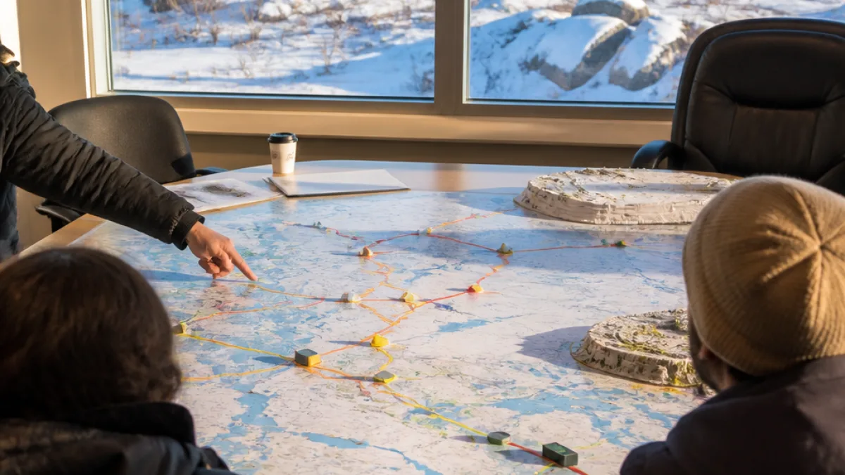
The Tłı̨chǫ government and the Yellowknives Dene First Nation announced on Saturday that they have reached consensus on a proposed location for what is being called the Arctic economic and security corridor. The proposed driveable connection is described as about 400 kilometres long and would connect the Grays Bay Road and Port in Nunavut with the Northwest Territories highway system.
The territorial government previously favoured a more eastern alignment that would have routed the corridor through the Slave Geological Province, an area the government had said offered the greatest economic benefit. That plan was paused about a year ago at the request of the two Indigenous governments while they sought an alternative that would avoid sensitive caribou habitat.
Territorial response: buildable route is paramount
At a news conference, Finance Minister Caroline Wawzonek defended the change in direction and said the N.W.T. government is on board with the Indigenous-led choice.
“The best road, the most economical road, the most prosperous road is the road that gets built,”
Wawzonek said the territory paused its initial plans because the Tłı̨chǫ government and Yellowknives Dene First Nation asked for time to find a route they considered viable. “It was at the request of these two First Nations saying ‘let us find a path that’s actually going to get a road,’” she said.
Economic opportunity balanced with wildlife protection
Officials framed the new alignment as a compromise that protects sensitive caribou habitat while still offering economic potential. The corridor is being promoted as both an economic and national-security asset: a permanent, year-round link between the N.W.T. and the eastern Arctic.
Timelines for design, approvals and construction remain unclear. The announcement did not include firm dates, funding commitments or detailed engineering plans. For now, the agreement is a political and technical milestone rather than the start of construction.
What is known about the proposed corridor
| Feature | Detail |
|---|---|
| Length | Approximately 400 kilometres |
| Endpoints | Grays Bay Road and Port (Nunavut) to N.W.T. highway system |
| Status | Consensus on proposed route announced by Tłı̨chǫ and Yellowknives Dene; territorial government supportive |
Local voices and the road ahead
The change parallels broader trends in northern infrastructure planning, where territorial officials, federal agencies and Indigenous governments increasingly seek to balance resource access and community economic development with environmental stewardship and Indigenous rights. In this instance, the Tłı̨chǫ and Yellowknives Dene First Nation played a decisive role in reshaping the proposed alignment.
Moving forward, the project will require further technical studies, environmental assessments, regulatory approvals and funding decisions. Key questions include how construction would be staged, who would pay for various components and how the corridor would be governed.
For communities across the N.W.T. and Nunavut, the corridor represents both opportunity and risk: improved year-round access could reduce transport costs, open new markets and support resource development, while changes to land use raise concerns about wildlife, traditional harvesting and community well-being.
- Indigenous consent and coordination shaped the new proposed alignment.
- Wildlife protection—notably caribou habitat—was cited as a key factor in rerouting.
- Timelines and funding for the project remain unresolved.
The announcement marks a significant step in a long-running conversation about northern connectivity. Whether the chosen path becomes a finished highway will depend on complex negotiations, financing and further technical work—but for now, territorial leaders and Indigenous governments say they have found a compromise that could finally move the project from plan to pavement.