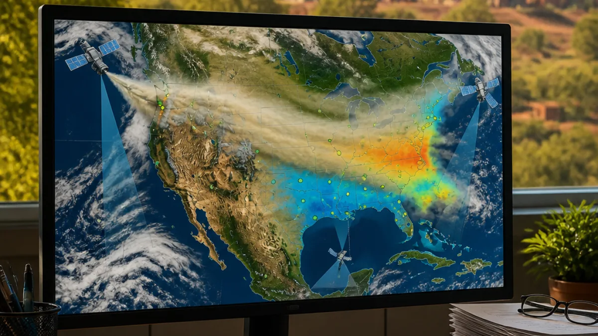
Wildfires burning across large parts of the Pacific Northwest have produced dense plumes of smoke that were carried far to the east by prevailing atmospheric circulation, satellite data analysed this week show. Persistent drought in the western United States helped create conditions favourable for rapid fire growth, and the resulting aerosols have produced elevated aerosol optical depth (AOD) values across much of North America.
Satellites reveal the scale and movement of smoke
Researchers using the Visible Infrared Imaging Radiometer Suite (VIIRS) aboard NOAA-21 compiled nearly two weeks of observations that show fires in the northwest generating smoke which then advected eastwards. The animation of VIIRS-derived AOD displays the most spatially detailed view of particle load, but — as the satellite shows only one view per day — it is complemented by data from geostationary sensors.
Analysts also used GOES-18 (Goes West) data processed with the CSPP Geo package to produce an animation of AOD values overlaid on true-colour imagery. The geostationary product provides much better temporal resolution than polar-orbiting satellites, helping fill gaps and capture fast-evolving plumes.
"The smoke is actually so thick that the algorithm doesn’t recognise it as smoke and instead masks out those regions as clouds."
That observation, made while comparing AOD overlays and true-colour images, highlights a limitation of remote-sensing algorithms: extremely dense smoke can be misclassified as cloud, obscuring the true extent of aerosol loading in affected regions.
Ground networks confirm elevated particulate levels
Satellite retrievals were supported by ground-based monitoring networks. PurpleAir mapping, for example, showed higher-than-normal PM2.5 concentrations across parts of the United States and Canada during the episode. These ground measurements corroborate the satellite-derived AOD increases and are crucial for assessing local air-quality impacts in populated areas.
- NOAA-21 / VIIRS: high spatial resolution, single daily pass, detailed AOD retrievals.
- GOES-18: geostationary view, high temporal resolution, helps track rapid changes in plume position.
- Ground networks (PurpleAir, others): local PM2.5 readings used to confirm health-relevant concentrations.
| Platform | Strength | Limitation |
|---|---|---|
| NOAA-21 (VIIRS) | Detailed spatial AOD | One view per day |
| GOES-18 (Geostationary) | Frequent observations | Lower spatial resolution |
Why it matters beyond North America
While the fires and their immediate air-quality impacts are centred in North America, the episode illustrates broader points that are also relevant for South Africa and the North West province: drought and higher temperatures increase the risk of extensive fires, which in turn raise particulate pollution at distances downwind and can complicate weather forecasting and public-health responses.
Remote sensing — combining polar-orbiting and geostationary satellites with local monitoring networks — remains essential for timely situational awareness. Satellite products provide the big-picture transport pathways and atmospheric loading, while ground sensors indicate local exposure levels that matter for human health.
Practical implications for residents and authorities
Episodes of high regional smoke load have direct public-health consequences where they occur. Authorities and health services typically advise the following measures when PM2.5 is elevated:
- People with respiratory or cardiovascular conditions, the elderly and young children should reduce prolonged or heavy outdoor exertion.
- Keep windows and doors closed and use air purifiers where possible to reduce indoor particle concentrations.
- Follow local air-quality indices rather than visible smoke alone — sites such as government monitoring portals or reputable sensor networks give current PM2.5 values.
Although the North West province is not affected by smoke from North American wildfires, the event reinforces the need for robust local monitoring and preparedness as climate-driven extremes become more frequent. National and provincial services that combine satellite products with on-the-ground sensors will be better placed to warn communities and protect vulnerable workers and households when local fires or transboundary smoke events occur.
This satellite analysis is a timely reminder: when drought, heat and fire coincide, the atmospheric consequences can be continental in scale and are best managed through integrated observation networks and clear public-health guidance.