A powerful earthquake struck western Colombia early on 10 August, killing at least 77 people, flattening buildings in multiple cities and forcing the evacuation of hospitals and the suspension of flights at several airports.
What happened
The United States Geological Survey recorded the tremor as a 7.4-magnitude earthquake that originated near San José del Palmar, in the Chocó department, at a depth of 107km. The quake was felt across much of the country, including major cities well away from the epicentre.
"Significant casualties and damage are likely, and the disaster is potentially widespread," the USGS warned.
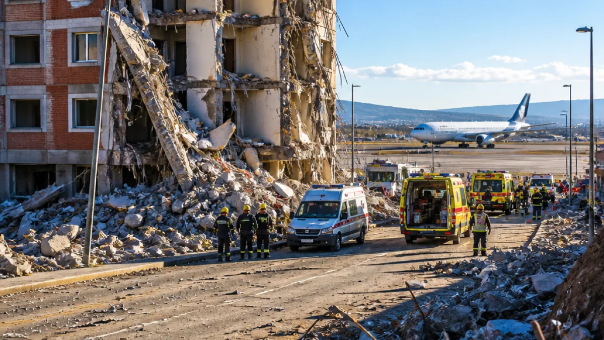
Images from social and broadcast media showed dramatic scenes: a cracked facade collapsing in the coffee centre of Pereira, the top of a Gothic cathedral tower coming down in Manizales, and medical staff wheeling patients in beds out of buildings in Cali. Authorities reported people trapped in rubble in several locations.
Human toll and local impacts
The highest single provincial toll reported came from Risaralda, in the coffee-growing region, where Governor Juan Diego Pátiño was quoted as saying 42 people had died. In Manizales, the capital of Caldas province, Mayor Jorge Eduardo Rojas reported three fatalities. Buenaventura, the country's main Pacific port, recorded at least one death when a building collapsed.
Officials said survivors were digging people from debris in multiple towns, and emergency services were stretched by simultaneous incidents across provinces.
Transport and service disruption
The quake prompted the temporary closure of at least six airports while authorities inspected infrastructure. Hospitals in some cities were evacuated as a precautionary measure, and dozens of buildings—residential and public—suffered structural damage.
- Magnitude: 7.4 (USGS)
- Depth: 107km
- Confirmed deaths: at least 77 (across multiple provinces)
- Worst-hit areas reported: Risaralda (42 fatalities), Manizales (Caldas, 3 fatalities), Buenaventura (1 fatality)
- Infrastructure: collapsed buildings, cathedral tower toppled, hospital evacuations, airports temporarily suspended
Political and regional context
The quake is the first major emergency for President Abelardo De La Espriella, who was sworn in days earlier. The scale of the disaster comes as memories are still fresh of recent seismic events in the region, increasing concern about readiness and response capacity across national and local authorities.
Colombia's Pacific and Andean regions are seismically active. The combination of urban centres built up near geological faults and older masonry structures increases vulnerability when significant quakes occur.
Known casualty breakdown
| Location | Reported deaths |
|---|---|
| Risaralda (province) | 42 |
| Manizales (Caldas) | 3 |
| Buenaventura | 1 |
| Other provinces / unspecified | 31 (to reach total of 77) |
Note: the table reflects figures reported publicly at the time of publication. Local authorities are continuing to assess casualties and damage.
What comes next
Rescue and search operations are likely to continue for days, particularly where buildings have collapsed. Emergency services will prioritise locating survivors in rubble, stabilising damaged structures and providing medical care and temporary shelter for displaced people.
International monitoring agencies and regional governments customarily offer technical assistance after major quakes. At this stage, Colombian officials are coordinating national response efforts while municipal teams focus on immediate life‑saving interventions.
The coming hours and days will be crucial for clarifying the full extent of human and structural damage, restoring critical services and preparing for possible aftershocks that could hamper rescue work.
Reports used in this article were sourced from the US Geological Survey and Colombian provincial and municipal officials as relayed through international news agencies.