
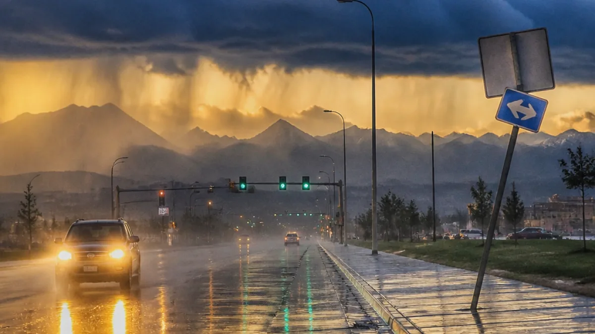
Storm system to bring prolonged rainfall and a marginal severe threat to Cheyenne
A potent upper-level low moving into Wyoming this weekend is expected to produce widespread, soaking rainfall and scattered thunderstorms across Cheyenne and much of southeast Wyoming, according to the National Weather Service in Cheyenne. The setup could yield locally heavy downpours and bring flooding concerns for parts of Laramie County.
The forecast calls for multiple rounds of precipitation beginning Saturday afternoon and continuing through Sunday night. Forecasters say easterly winds will push unusually moist air against the Laramie Range and Cheyenne Ridge, producing sustained atmospheric lift. Precipitable water values over Laramie County are expected to reach near-record levels for mid-September, increasing the potential for heavy, water-heavy rainfall.
Rain, gusty winds and small hail possible
The Weather Prediction Center has placed Cheyenne and areas east of the Laramie Range under a marginal risk for excessive rainfall on both Saturday and Sunday. The Storm Prediction Center highlighted Laramie County at a Level 1 out of 5 marginal risk for severe weather Saturday afternoon and evening, noting the possibility of localized damaging wind gusts and large hail in a few storms.
Forecasters also caution that extensive morning cloud cover and possible fog Saturday morning could limit daytime heating. That would likely keep afternoon high temperatures in the upper 60s to mid-70s and could moderate the overall potential for strong severe storms, though heavy rain and localized flooding remain primary threats.
What residents should expect and consider
- Timing: Multiple waves of rain and scattered thunderstorms from Saturday afternoon through Sunday night.
- Primary hazards: Heavy rainfall leading to localized flooding, gusty winds, and isolated hail.
- Temperatures: Daytime highs mainly in the 60s to mid-70s; cooler on Sunday behind a cold front.
Behind the cold front, cool northwesterly flow will push temperatures noticeably lower on Sunday, with highs expected to remain in the 60s under mostly cloudy skies. That same flow will bring another wave of steady rainfall and persistent breezy conditions into Sunday night.
Looking to the start of next week, the active, cool pattern is forecast to linger. Monday may bring a brief break in precipitation with temperatures staying in the 60s, but a secondary, weaker low-pressure system moving in from the southwest will keep conditions unsettled with scattered shower chances and below-average temperatures for much of the week.
Local impacts and preparedness steps
With precipitable water values near mid-September records and several rounds of rain expected, residents and businesses should prepare for slick roads, poor drainage issues and potential localized flooding in low-lying areas. Local agencies often remind residents to avoid driving through flooded roadways and to secure outdoor items in advance of gusty wind gusts.
Practical steps Cheyenne residents can take now include checking sump pumps, clearing gutters and storm drains where safe, reviewing travel plans for the weekend, and keeping emergency supplies on hand in case of localized power outages or isolated storm damage.
| Day | Main forecast | Concerns |
|---|---|---|
| Saturday | Onset of showers and storms in the afternoon | Heavy rain, localized flooding, marginal severe storms |
| Sunday | Cooler with steady rainfall, breezy | Persistent rain, flooding potential |
| Monday | Brief break; cooler | Scattered showers return later in week |
Local officials and emergency managers will monitor the situation as the system approaches. Residents are advised to follow updates from the National Weather Service in Cheyenne and local emergency channels for any watches or warnings that may be issued as the event unfolds.
WE NEWS will continue to report on developments and impacts to the Cheyenne area through the weekend.














