Massachusetts will enjoy a final burst of summer warmth this weekend before a shift to a more unsettled, storm-prone pattern takes hold across the state early next week. Conditions on Saturday were largely dry and comfortable, with low humidity and clear to partly sunny skies, but forecasters warn that several days of increased rain and thunderstorm chances are expected beginning Monday and continuing through midweek.
Weekend: pleasant, then warmer Sunday
Saturday brought generally mild conditions statewide, with dew points in the 40s and 50s keeping humidity low and making for comfortable outdoor conditions. Overnight lows were expected to fall into the 50s and low 60s under mainly clear skies.
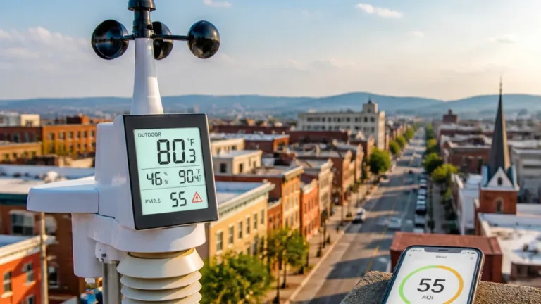
Sunday will feel notably warmer, with highs reaching the low to mid-80s as humidity begins to increase. Most of the day is forecast to remain dry, but a weak weather system approaching New England will lift rain chances late Sunday night. The highest likelihood of showers is expected along and south of Interstate 90, including the South Shore, Cape Cod and the Islands, with a slight chance of thunder near the south coast.
Monday: boundary passage, cooling east to west contrasts
A backdoor cold front sliding south from northern New England is forecast to arrive Monday morning, producing a contrast across the state. Western Massachusetts — including Springfield and parts of the Pioneer Valley — could still see daytime highs in the low 80s, while eastern sections of the state are expected to top out in the 70s and gradually cool through the afternoon. Forecasters expect some morning cloudiness but partial clearing later in the day, and Monday night should remain mostly dry.
Midweek threat: multiple rounds of storms, localized severe risk
The pattern turns more active from Tuesday through Thursday as a stalled front interacts with warmer, more humid air moving into the region. Forecasters expect multiple rounds of showers and thunderstorms during that interval, with the greatest potential for stronger storms across western Massachusetts.
The National Weather Service highlighted western Hampden County — including the Springfield area — with a 15% chance of severe weather on Wednesday. The most favorable area for stronger storms appears to be south and west of Worcester, where atmospheric instability could increase. Rain probabilities through the middle of the week range roughly from 30% to 60%, depending on location and timing.
| Day | Primary forecast | Notable details |
|---|---|---|
| Saturday night | Clear to partly cloudy | Lows: 50s–low 60s |
| Sunday | Warm, increasing humidity | Highs: low–mid 80s; late-night showers possible south |
| Monday | Backdoor cold front | West warmer (near 80°F), east cooler |
| Tue–Thu | Multiple showers and storms | Greatest severe threat: western MA; rain chances 30–60% |
Impacts and preparedness
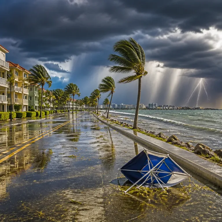
Authorities do not currently expect widespread severe weather, but the forecast does call for localized strong storms that could produce damaging winds, heavy rain and brief flooding where storms train or intensify. The western part of the state faces the highest marginal-to-slight severe risk on Wednesday, which could affect travel, outdoor plans and any late-week events.
Residents and visitors should monitor updates from the National Weather Service and local media for shifts in timing and intensity. Practical steps to prepare include:
- Keeping a battery-powered radio or mobile alerts enabled for watches and warnings
- Securing outdoor furniture and checking drainage around homes
- Adjusting travel plans if heavy rain or lightning is forecast during commutes or events
With the warm weekend ahead, the state will briefly feel like mid-summer before the atmosphere becomes more volatile. Forecasters emphasize that timing and placement of stronger storms remain subject to change, and they expect more definitive details as the week approaches.