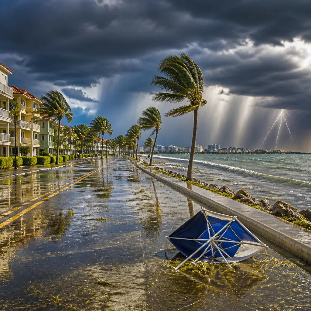
SARASOTA, Fla. — Forecasters have declared a First Alert Weather Day for Sunday through Tuesday — and potentially beyond — as tropical moisture streaming over Florida sets the stage for repeated rounds of afternoon and evening storms across the Suncoast.
Daily storms expected; heat and humidity remain high
Each day this week looks primed for the same pattern: a relatively quiet start followed by scattered showers and thunderstorms that develop as the sea-breeze boundaries collide across the peninsula. The most active periods are expected during the mid- to late afternoon, when storms commonly strengthen. Forecasters say some cells could produce strong winds and locally heavy rainfall.
Saturday demonstrated how volatile the pattern can be. Rain totals varied widely across the county, with readings of more than 3 inches on Sarasota’s east side, 0.86 inch at Sarasota Bradenton International Airport (SRQ) and 0.27 inch at Venice Airport. Those differences highlight how rainfall from these storms can be very localized.
- Daily timing: storms form in the early afternoon and intensify into the late afternoon and evening.
- Primary hazards: heavy rainfall in short periods, strong winds with some storms, and small-scale flash flooding where totals concentrate.
- Duration: thunderstorm chances are expected to remain high through Friday, with slightly drier air returning by the following Sunday.
Tropical systems keep moisture elevated
Tropical remnants are playing a role in maintaining the wet pattern. The remnants of Tropical Storm Dolly were situated well east of the Leeward Islands and moving toward the Bahamas. While forecasters judged the odds of redevelopment to be low — about 10 percent over seven days — the system could nevertheless deliver locally heavy showers and gusty winds to Puerto Rico and the Virgin Islands in the coming days.
In the Gulf of Mexico, a weak area of low pressure south-southwest of Pensacola also carried a low chance of development, on the order of 10 percent over seven days. Forecasters expect that feature to drift westward with slow or limited intensification, but its presence contributes additional Gulf moisture to the Florida peninsula.
| Observed rainfall (Saturday) | Amount |
|---|---|
| East side of Sarasota | >3.00 inches |
| Sarasota Bradenton Airport (SRQ) | 0.86 inch |
| Venice Airport | 0.27 inch |
Practical impacts and guidance
The persistent on-and-off storms will affect outdoor plans, recreation and travel across the region. Forecasting offices warned that the heat index will make conditions feel notably oppressive during the day, increasing the risk for heat-related stress for people active outdoors.
For those planning to be outside — including athletes and spectators — officials advised staying weather-aware, carrying rain gear, and having contingency plans for sudden storms. Local recreation forecasts pointed out that golf, tennis and other outdoor activities will face challenging conditions because of the timing and intensity of afternoon storms.
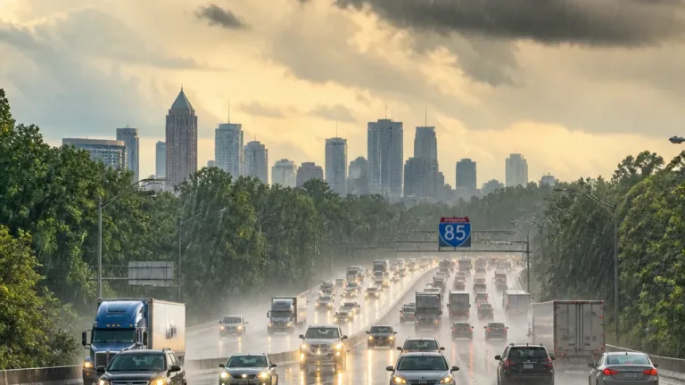
Motorists should be alert for sudden heavy downpours that reduce visibility and create ponding on roadways. Emergency-management agencies typically advise avoiding flooded streets and recognizing that rainfall amounts can vary significantly over short distances in this pattern.
While long-range outlooks show a modest decrease in storm coverage by next weekend, forecasters emphasize that the immediate week will bring repeated storm chances, and residents should monitor local updates for imminent warnings and advisories.
Key takeaways: Expect daily afternoon storms through at least Friday, localized heavy rainfall and gusty winds are possible, and two tropical features in the Atlantic and Gulf each carry a low (10 percent) chance of development over the next seven days but will help sustain moisture over Florida.