MISSOULA — A storm system moving into the Pacific Northwest will hold western Montana in a spell of cooler and wetter weather over the next several days, forecasters said Tuesday. The system has already pushed showers and thunderstorms into parts of the region and will maintain an active forecast through at least Friday.
What to expect this week
National Weather Service guidance and local meteorologists indicate the initial round of showers and thunderstorms could produce gusty winds near 30 to 40 mph and frequent lightning. A second wave is expected to develop around midday Wednesday and persist into the evening, with the potential for heavy rain at rates up to one-half inch per hour in localized bands.
Forecasters say bands of rain will continue to propagate into western Montana on Thursday and Friday. Cooler conditions will follow: daytime highs are expected to be limited to the 60s and 70s across most of the region, while overnight lows will drop into the 40s for many locations.
Snow possible at high elevations
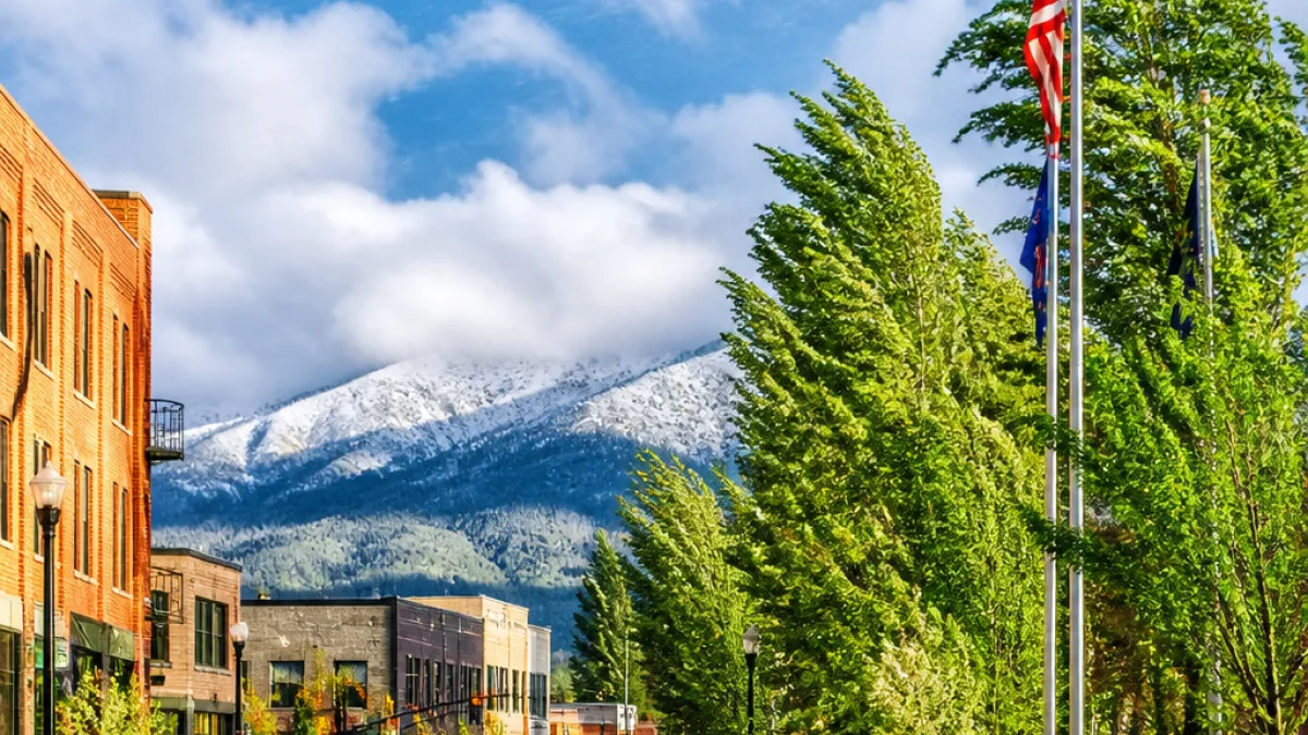
With the cooler air mass in place, meteorologists noted that a bit of snow is possible Thursday morning on the high peaks of the Bitterroot Mountains. Any accumulations would be confined to the highest terrain and are not expected to affect lower-elevation travel, though mountain travelers should be prepared for rapidly changing conditions.
Impacts on air quality and wildfires
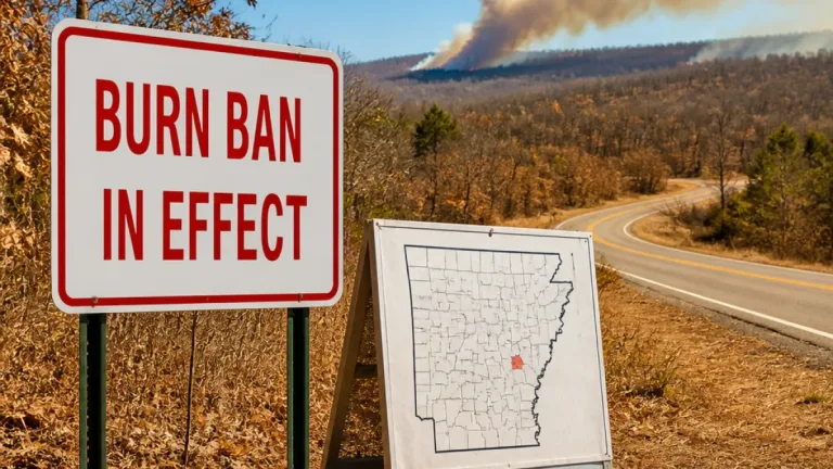
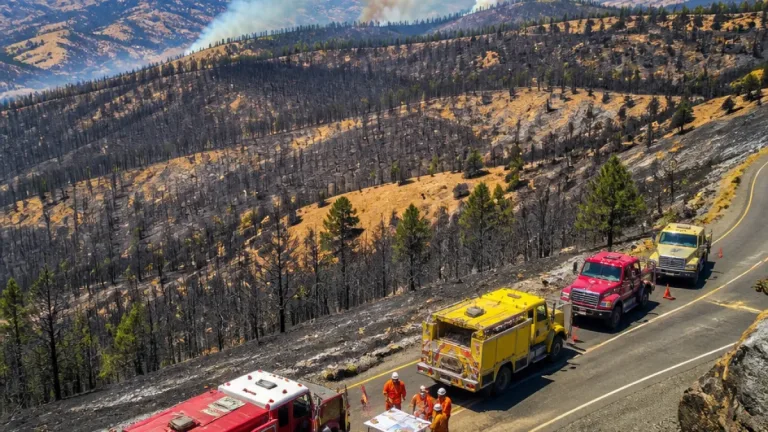
Rain over active fires in the Pacific Northwest and in Montana should help keep smoke away from populated areas through the rest of the week, according to weather briefings. However, forecasters cautioned that gusty conditions across southwest Montana on Wednesday and Thursday may allow some fires — including those currently named Nature Grove, Sand Creek and Bobcat Lakes — to remain more active than they otherwise would be under lighter winds.
- Wind gusts: 30–40 mph possible with initial storms.
- Heavy rain potential: up to 0.5 inch per hour in intense bands.
- Temperatures: highs in the 60s–70s, lows in the 40s.
- High-elevation snow: possible in Bitterroot peaks Thursday morning.
- Fire behavior: rain likely to reduce smoke, but gusts could sustain activity on some fires.
Timing and what residents should do
The first round of storms already moved into parts of western Montana Tuesday evening. A more widespread round begins around noon Wednesday and continues into the evening, with additional rain and scattered showers continuing through Thursday and Friday.
Residents are advised to monitor local forecasts and be prepared for gusty winds and localized heavy rainfall that may produce ponding on roads and reduced visibility. Motorists should reduce speed on wet pavement and allow extra stopping distance; drivers in mountain passes should be alert for sudden changes in visibility and the possibility of brief snowfall at the highest elevations.
Those living near active fire areas should remain aware of local fire advisories and evacuation notices issued by county authorities and fire agencies. While rain will likely limit smoke impacts this week, stronger winds can alter fire behavior.
Looking ahead
Forecasters are watching another system that is expected to influence the region on Monday and Tuesday of next week, which could bring additional widespread rain. Weather agencies said they will continue to monitor trends and update forecasts as model guidance evolves.
| Period | Primary impacts | Temperature range |
|---|---|---|
| Tuesday evening | Initial showers, thunderstorms; gusty winds | Evening: cooling into 40s |
| Wednesday (midday–evening) | Widespread storms; heavy rain up to 0.5"/hr | Highs: 60s–70s |
| Thursday–Friday | Bands of showers; possible mountain snow | Highs: 60s–70s; lows: 40s |
We will continue to track updates from the National Weather Service and local agencies as conditions evolve. Check county emergency pages and your local media outlets for the latest watches, warnings and road impacts.
— Travis Wheeler, State Correspondent