Damage from recent swells leaves Tamarack State Beach sand-starved and a city roadway at risk
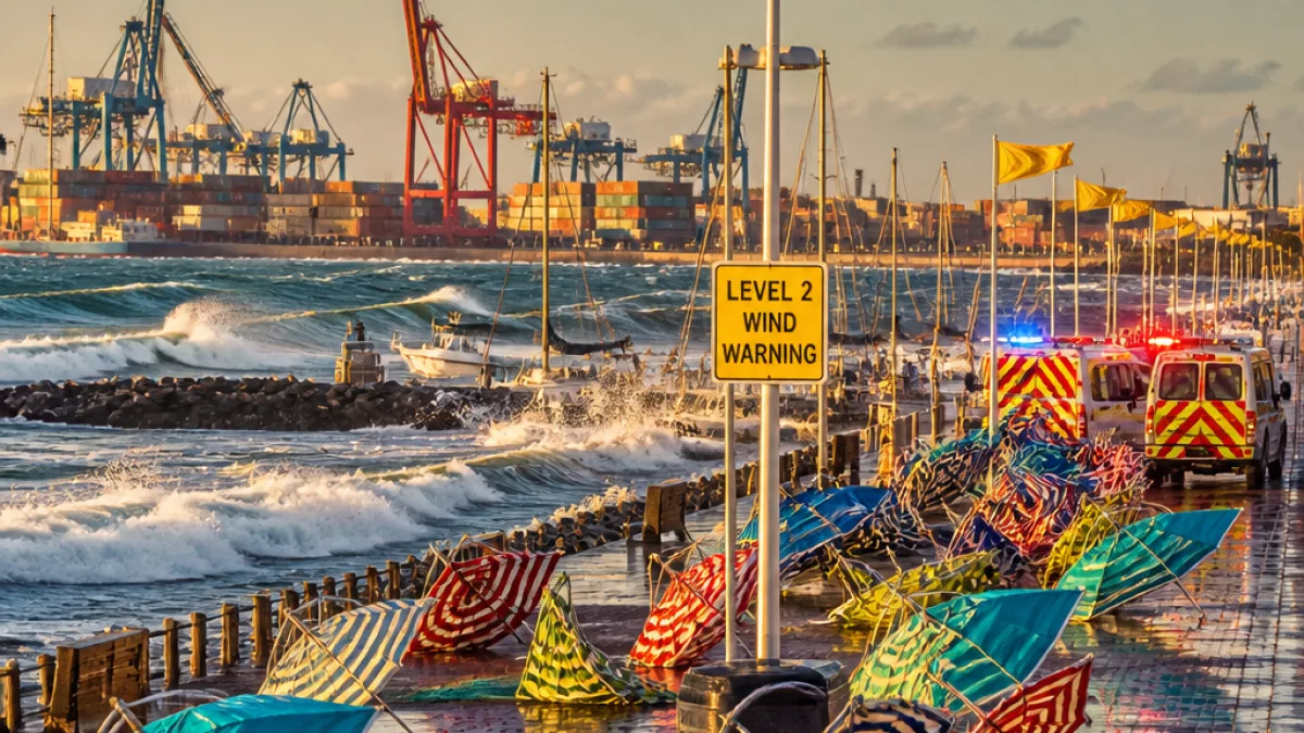
CARLSBAD — A series of powerful ocean swells tied to Hurricane Genevieve in August have left sections of Carlsbad’s shoreline significantly eroded and prompted emergency stabilization work along south Carlsbad Boulevard, city and state officials said.
The parking lot at Tamarack State Beach, at the intersection of Tamarack Avenue and Carlsbad Boulevard, was closed after waves removed large amounts of sand and exposed rock armor placed to protect the shoreline. The loss of sand also blocked off 35 parking spaces and scattered large riprap rocks onto the beach, creating unstable and unsafe conditions.
- Parking at Tamarack State Beach is closed through at least December while conditions are assessed and repairs proceed.
- State Parks reports a coastal engineering team has been hired and project bids are expected in November.
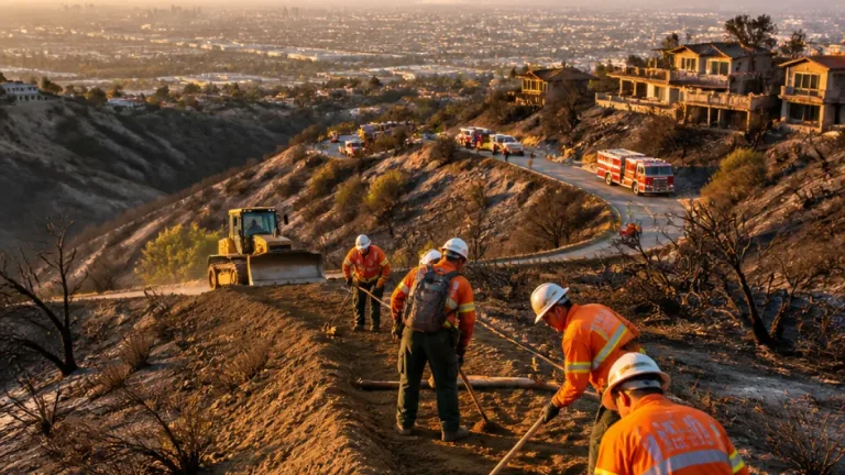
- The city has initiated emergency bluff stabilization north of the Las Encinas Creek bridge following a geotechnical report.
“The loss of sand, combined with wave action, caused the riprap protecting the shoreline to slough westward onto the beach.”
The comment, provided by a California State Parks spokesman, underscores how recently placed protective measures have been compromised by the storm-driven swells. State Parks owns about six miles of beach in Carlsbad and is responsible for the affected parking lot.
Previous sand placement did not prevent recent damage
The shoreline had been replenished in February 2025, when 400,000 cubic yards of sand were transported from dredging in Agua Hedionda Lagoon and pumped onto the beach. Despite that effort, the August swells removed enough material to expose the rock armor and create hazards for visitors and motorists.
State Parks Lt. Sean Homer briefed the Carlsbad Environmental Sustainability Commission on Oct. 1, saying a coastal engineer has been hired and that officials expect project bids in November with an aim to complete repairs by the end of December. The agency is monitoring conditions and continuing work with engineers to maintain safe public access.
“A coastal engineer has been hired, project bids are expected in November, and repairs are anticipated to be completed by the end of December.”
City response and public-safety implications
City Manager Geoff Patnoe’s weekly newsletter said the city moved quickly after a geotechnical report recommended emergency stabilization measures for a bluff on south Carlsbad Boulevard north of the Las Encinas Creek bridge. That work is intended to protect the roadway and adjacent properties from further erosion-driven failures.
Officials emphasized the closures and stabilization are safety-driven. With exposed riprap and shifting sands, parking areas and beach access points can present immediate risks to the public and to emergency responders.
| Event | Date |
|---|---|
| Beach nourishment (Agua Hedionda Lagoon dredge) | February 2025 — 400,000 cu yd |
| Storm-driven swells from Hurricane Genevieve | August (2026) |
| State Parks briefing to commission | Oct. 1, 2026 |
| Project bids expected | November (2026) |
| Targeted repairs completion | End of December (2026) |
What residents should know
For the foreseeable future, visitors should expect reduced or no parking at the Tamarack lot and possible temporary access restrictions while State Parks and city crews undertake assessment and repairs. Officials continue to monitor coastal conditions closely and said they will share updates as engineering plans are finalized and work proceeds.
The recent damage highlights ongoing vulnerability of Carlsbad’s coastline to high-energy wave events and the challenge of protecting public infrastructure and beach access in the face of powerful storm swells.
WE NEWS will follow developments on repair timelines, public-access updates and any city or state advisories affecting beaches and coastal roadways.