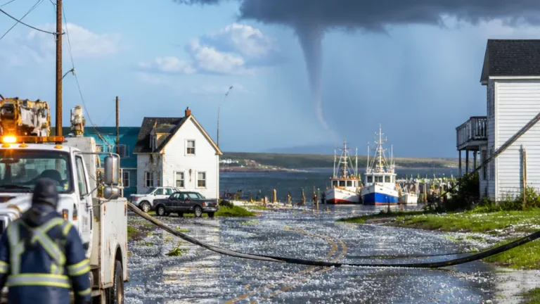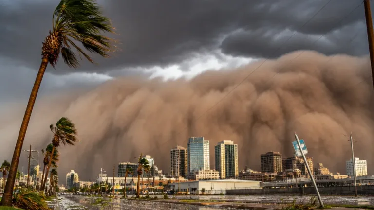
The slow-moving storm that spawned severe weather and flash flooding across the Deserts and Rockies earlier in the week will remain a threat through the weekend, bringing additional heavy rainfall, localized flooding and the first accumulating snow of the season to parts of the northern Plains.
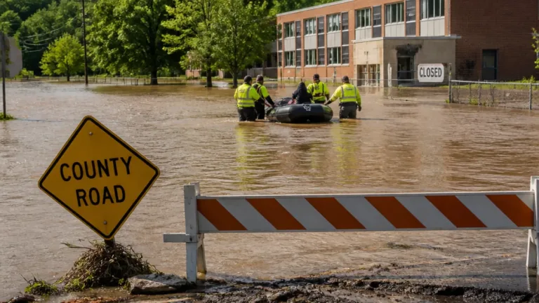
Heavy rain, flash flooding risk persists
Forecasters say the system still carries substantial moisture and will produce additional pockets of intense rain across Colorado, New Mexico, Arizona and Utah from Saturday into Sunday evening. Some areas could receive 1 to 4 inches of rain, with localized maximums much higher.
“The storm still has plenty of potency left through this weekend with additional pockets of heavy rain that can aggravate or lead to new flooding in parts of Colorado, New Mexico, Arizona and Utah, as well as raise the same concerns over parts of the adjacent central and southern High Plains,” AccuWeather Meteorologist Brandon Buckingham said.
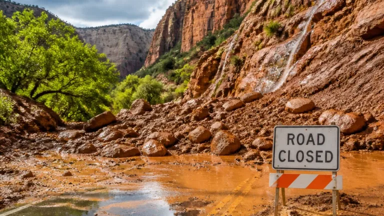
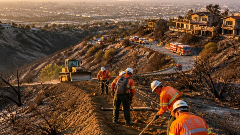
AccuWeather’s Local StormMax™ rainfall estimate for the event is 10 inches, creating a risk for flash flooding wherever downpours stall or repeat. Forecasters cautioned that the most acute dangers will be in steep and desert terrain, where runoff can concentrate quickly, and in areas downstream of recent wildfire burn scars, which are more prone to rapid erosion and mudslides.
- Expected widespread rainfall: 1–4 inches in many locations from Saturday to Sunday evening.
- Localized extreme totals: up to 10 inches in isolated locations (AccuWeather StormMax).
- High risk areas: hilly terrain, desert washes and post-wildfire slopes.
Colder air brings early-season snow to northern Plains
As the system moves eastward from the Rockies into the northern Plains, colder air will infiltrate the circulation and produce a wintry transition outside the highest mountain elevations. Forecasters expect accumulating snow over elevated terrain and into lower elevations in select locations.
“There is the potential for several inches of snow to fall over the Black Hills of South Dakota,” AccuWeather Senior Meteorologist Bob Smerbeck said. “A slushy accumulation can occur in Rapid City, South Dakota, especially on non-paved surfaces on Monday, when it is most likely to snow the hardest.”
Accumulating snow is also forecast to extend from eastern Wyoming and northwest Nebraska into parts of southwest North Dakota. Officials noted that while the Denver metro area and most of the Colorado River basin are expected to miss the bulk of the storm’s rain and most of its snow, some runoff is entering the river system.
| Hazard | Primary Areas | Expected Magnitude |
|---|---|---|
| Heavy rain / flash flooding | CO, NM, AZ, UT, central & southern High Plains | 1–4 inches common; StormMax up to 10 inches |
| Early-season snow | Black Hills (SD), eastern WY, northwest NE, southwest ND | Several inches possible; slushy accumulations in low spots |
Impacts and preparedness
Forecasters warned that flash flooding could develop in a matter of minutes where intense downpours occur, particularly in desert washes and steep terrain. Mudslides and debris flows remain a concern in areas affected by recent wildfires.
Authorities and weather services typically advise residents in threatened areas to monitor updates, avoid driving through flooded roadways, and be prepared for rapidly changing conditions if heavy rain or wet snow begins. The transition to colder air and precipitation type means travel impacts could shift from slick, water-covered roads to slushy or snow-covered surfaces, particularly on untreated pavements and secondary roads.
As the system weakens over the Plains into early next week, the immediate focus remains on localized flooding and the potential for travel disruptions where early-season snow accumulates. Residents in the flagged regions should follow local emergency management and National Weather Service products for the latest watches, warnings and safety guidance.