California is set to receive a significant dose of moisture from a Pacific storm system this week that forecasters say could provide much-needed relief to regions battling wildfires while simultaneously increasing the threat of flash flooding and severe winds.
Storm system timeline and scope
Meteorologists project that a deep upper-level trough moving south along the West Coast will steer a surface low into the state by Wednesday, spreading precipitation across Northern and Central California — including the Bay Area and the Central Valley — before the heavier rain shifts into southern parts of the state overnight. The wet pattern is expected to persist through Friday.
The system will continue to evolve as it moves inland: the upper-level low is forecast to nudge eastward into Nevada, Utah and Arizona later in the week, allowing colder air to push over warmer desert regions and spawning scattered showers across the Four Corners area. By the latter half of the week, the storm energy should move northeast into portions of the Southern and Central Rockies, producing additional rounds of rain and thunderstorms there.
Rain amounts and hazards
Forecast guidance indicates most locations across the affected portions of California could see measurable rainfall. Expected precipitation amounts include:
- 1 to 2 inches in the heaviest-hit zones from Wednesday through Friday
- 0.5 to 1 inch possible in other areas of the region
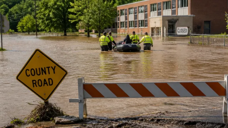
Along with blanket rainfall, the storms carry secondary hazards: forecasters warn of damaging wind gusts, small hail and heavy downpours capable of producing flash flooding. Several urban and low-lying corridors, particularly where recent burn scars have left the ground destabilized, will be especially vulnerable to rapid runoff and debris flows.
| Threat | Where noted |
|---|---|
| Flash flooding risk | Bay Area, Central Valley, southern California overnight |
| Damaging winds / small hail | Scattered; highest with strongest convective cells |
| Widespread rainfall totals | Generally 0.5–2 inches depending on location |
Implications for wildfire suppression
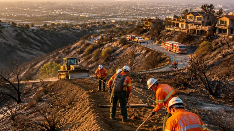
Fire officials and residents in areas coping with active wildfires had been watching for a shift in the weather. The incoming moisture could help slow fire spread, improve containment prospects and provide respite for strained firefighting resources. However, officials caution that rain alone does not immediately eliminate fire danger, and localized strong winds or lightning associated with convective cells can complicate suppression efforts.
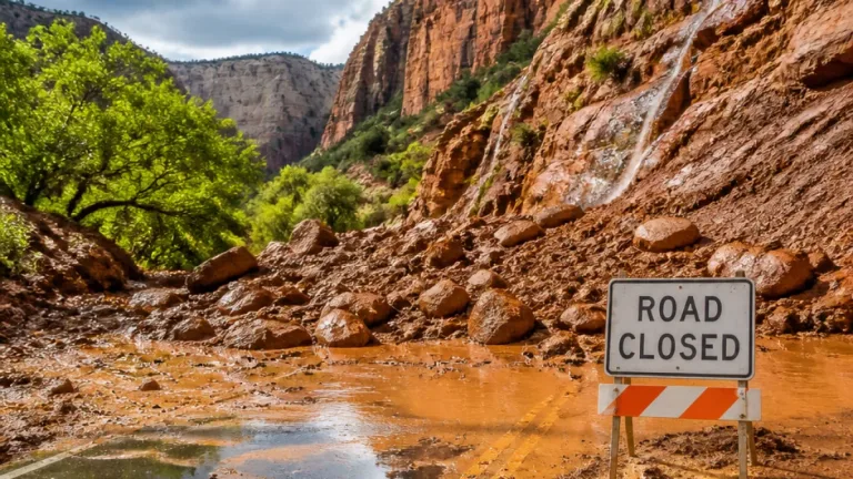
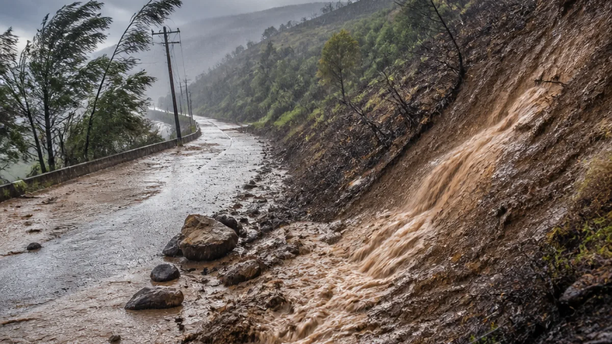
Burn scars from previous fires also raise the risk of post-fire hazards. Intense rain over recently burned slopes can trigger rapid runoff, sending mud, rocks and debris downslope into roads and communities.
Regional impacts beyond California
While the system will bring relief to parts of California, the same dynamics are expected to create notable impacts across the interior West. The National Weather Service and forecast centers have placed areas such as Phoenix, Flagstaff, Salt Lake City and Los Angeles under a Level 1 of 4 flash flood threat for portions of the event, reflecting the potential for localized but dangerous flooding.
What residents should do
State and local emergency managers advise residents to prepare for a mix of weather hazards over the coming days:
- Monitor local forecasts and weather alerts, particularly watches and warnings from the National Weather Service.
- Avoid driving through flooded roadways; remember that even a few inches of moving water can disable a vehicle.
- Be cautious near streams, burn scars and steep terrain where debris flows are possible during heavy rain.
- Secure outdoor items and be prepared for gusty winds that could damage property or down trees and power lines.
Community officials will continue to post updates as conditions evolve. For those in fire-affected areas, rainfall may aid containment but also bring secondary hazards; residents should weigh the benefits of precipitation against localized flood and debris risks.
Forecasters emphasize that the forecast details — timing and rainfall intensity — could change as the storm approaches. Staying tuned to the latest guidance from the National Weather Service and local authorities will be important through the midweek period.