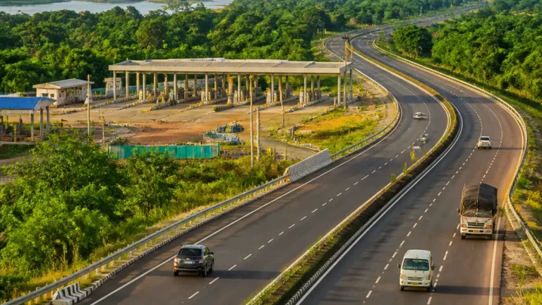
The proposed Bengaluru–Vijayawada greenfield national highway, being developed under Bharatmala Pariyojana Phase‑II, aims to significantly shorten travel time between the two cities and strengthen road links for passengers and freight, officials said.
Project outline and targets
The corridor comprises a new six‑lane, access‑controlled greenfield highway alongside upgrades to existing stretches. The greenfield component runs for approximately 342–343 km, and the broader project — combining new alignment and brownfield improvements — is estimated to cover between 518 km and 624 km, according to the documentation supplied with project updates.
An NHAI official estimated the journey time between Bengaluru and Vijayawada would fall from the present 11–12 hours to around six to seven hours once the expressway is complete. The wider corridor is intended to improve the movement of both passengers and freight between inland production centres and east‑coast ports.
| Feature | Detail |
|---|---|
| Greenfield length | 342–343 km |
| Total corridor (greenfield + upgrades) | 518–624 km |
| Estimated cost | ₹19,200–19,320 crore |
| Design | Six‑lane, access‑controlled |
| Target travel time | ~6–7 hours |
Alignment and districts served
The greenfield stretch is reported to run from Kodikonda near the Andhra Pradesh–Karnataka border to Muppavaram near Addanki. Along its route, four Andhra districts feature prominently: Guntur, Prakasam, Kurnool and Kadapa. The alignment is designed to bypass congested towns and existing highway choke points, easing pressure on older routes that currently carry mixed local and long‑distance traffic.
- Prakasam district accounts for nearly 110 km of the project.
- The Prakasam alignment passes through mandals including Chandrasekharapuram, Kanigiri, Veligandla, Marripudi, Cheemakurthy, Thallur, Addanki, Kondepi and Panguluru, with towns such as Podili and Kanigiri on the corridor.
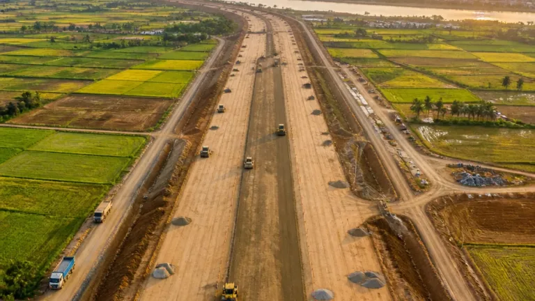
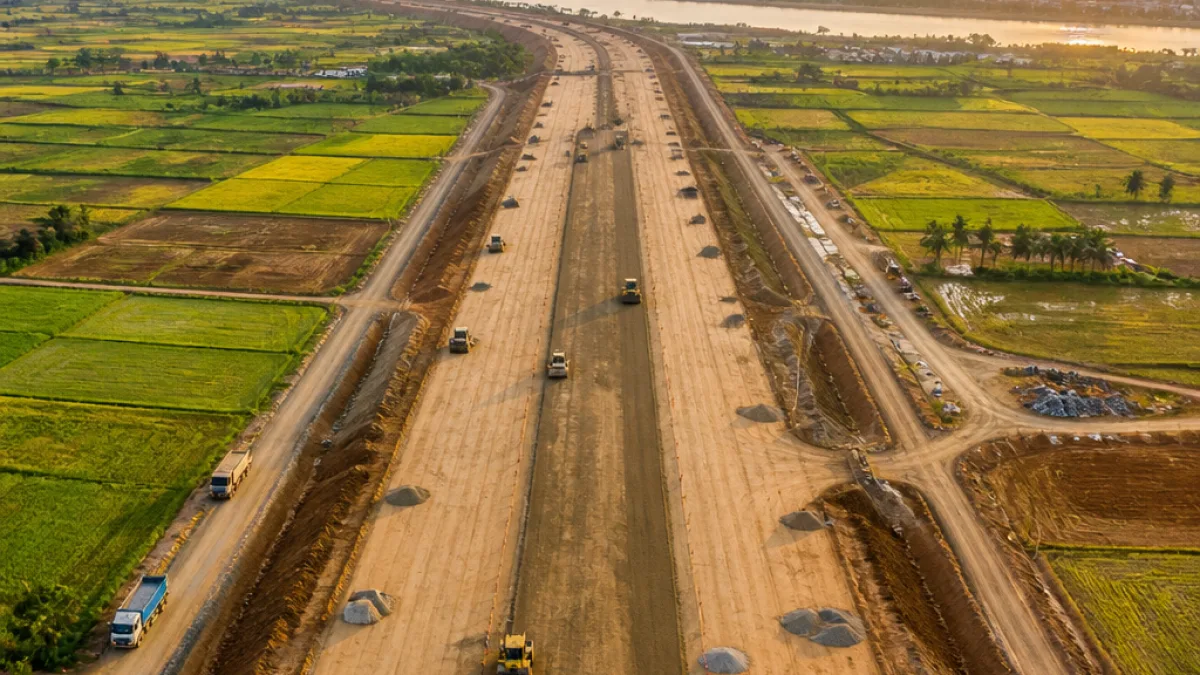
Construction work involves earthworks, culverts, bridge building and blacktop laying on the longer stretches where activity has already gathered pace, particularly in Prakasam, project reports said.
What it means for Vijayawada and the region
For Vijayawada, the expressway is expected to change regional traffic patterns by directing faster long‑distance passenger and freight movements to the new corridor. Officials cited the corridor's potential to improve access for agricultural produce, minerals and manufactured goods to markets in Vijayawada, Bengaluru and east‑coast ports.
"The expressway will reduce travel time and improve movement of passengers and freight," an NHAI official said, summarising project intent.
By bypassing congested towns and older highways, the project seeks to reduce transit delays and logistics costs on the east‑west axis that connects Andhra Pradesh's production centres to Karnataka's markets and port access. Local economies along the corridor could see higher throughput of goods, though the timelines and full economic impacts will depend on phased completion and integration with feeder roads.
Target completion is cited in project reports for the overall expressway within the coming years. Officials expect that once the greenfield sections and upgrades are in place the corridor will provide a faster, more reliable alternative to the existing 11–12‑hour route between Bengaluru and Vijayawada.
Work on the Prakasam stretch and other sectors continues to progress with standard road‑building activities; authorities will release further details on phased openings, land acquisition and contractor timelines as construction advances.